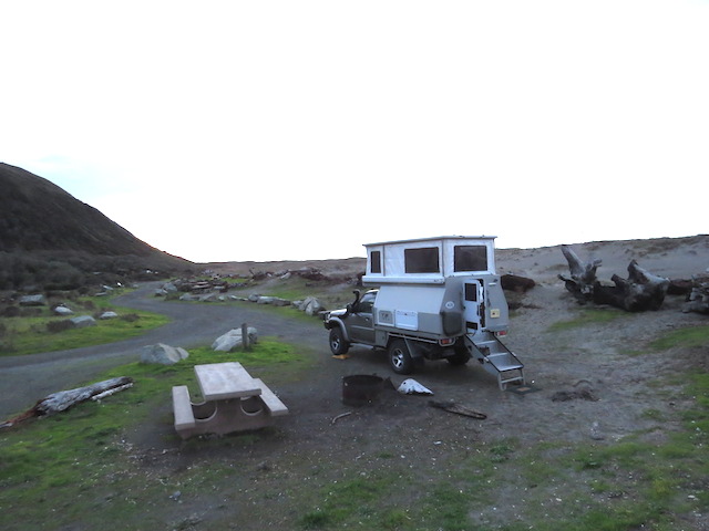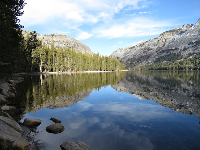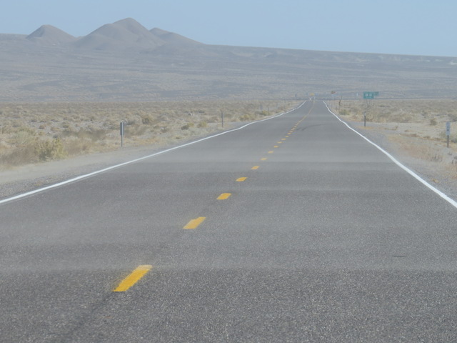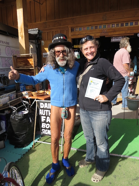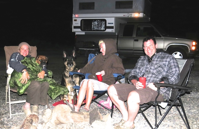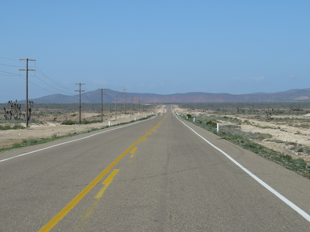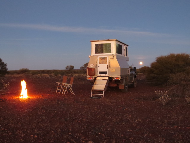
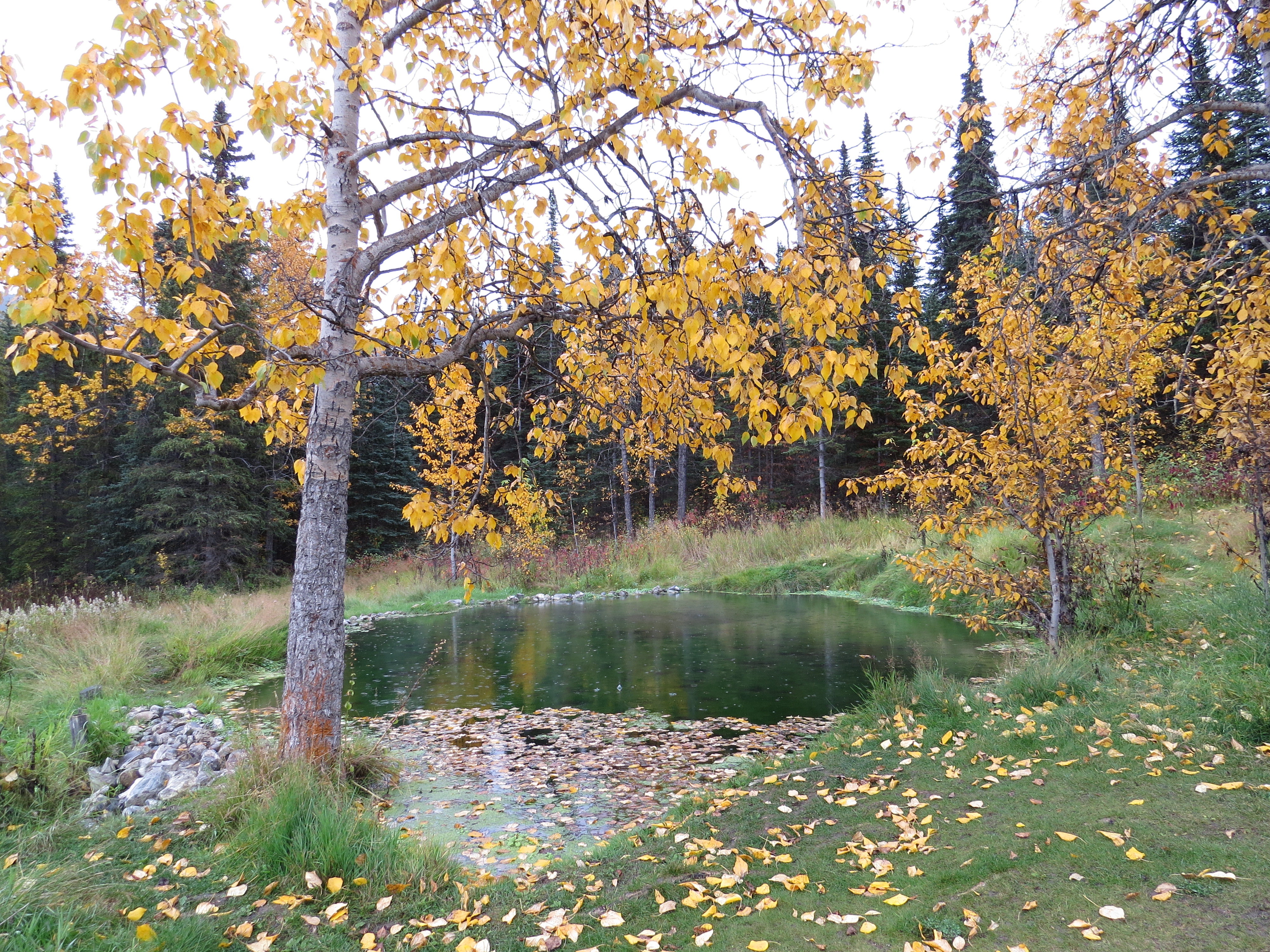
Travelling a little later in the tourist season and post what most would consider to be the opportune weather window was a deliberate choice for us. We had wanted to enjoy the amazing palate of autumn colour generated by the foliage as Mother Nature’s clock recognises the imminent onset of winter and also have a distinct night time for Aurora Spotting.
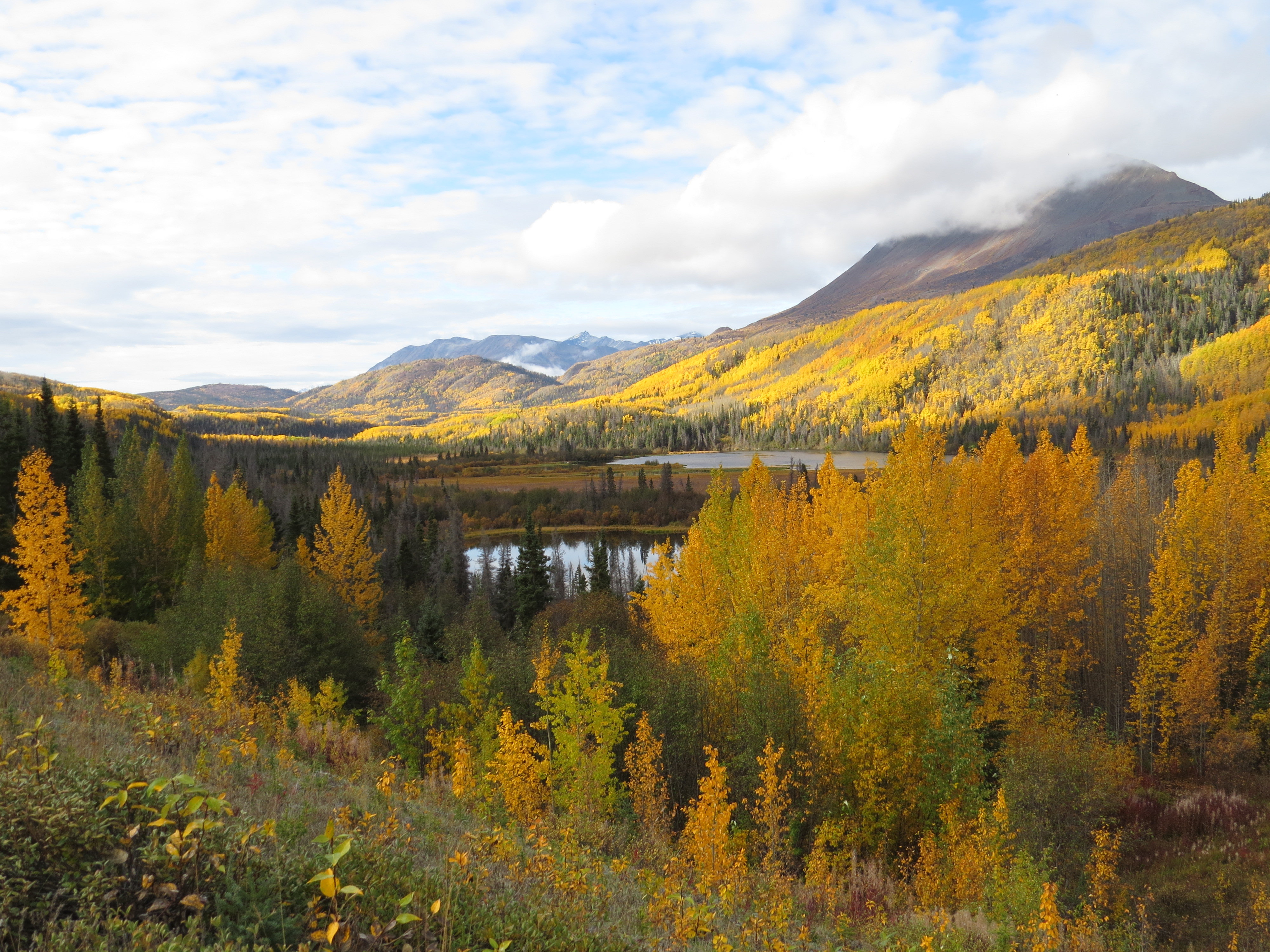
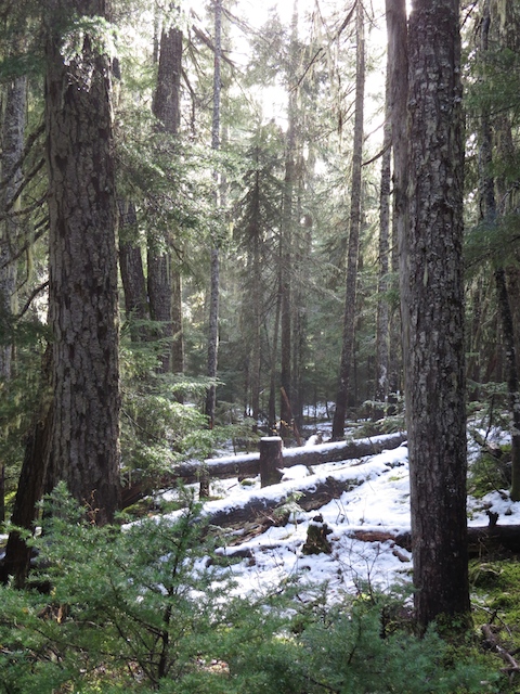
Amazing autumn colours
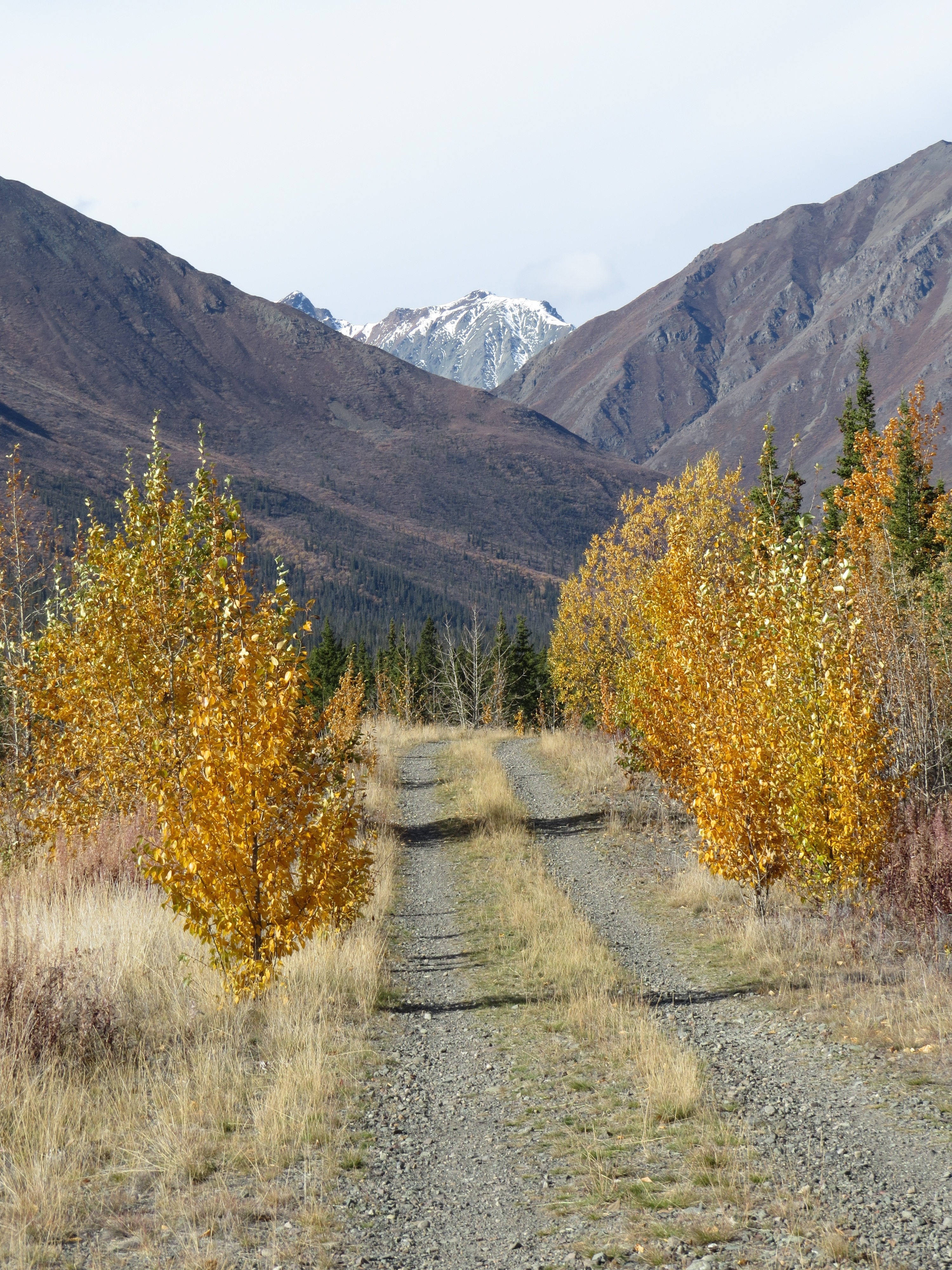 It’s one thing to traverse these stunning landscapes beneath blue skies, wearing a T-shirt and enjoying balmy days, but if the gamble of travelling in the Autumn pays off and the weather holds, the landscape comes alive as the ocean of green transforms itself into an almost luminescent vista of reds and vivid gold over a few weeks before a gusty breeze separates the leaves from their source and again transforms the scene as it literally rains colour!
The gamble did pay off for us and although the change of season did offer up the odd few dreary days with solid rainfall, the colour spectacle had been worth it!
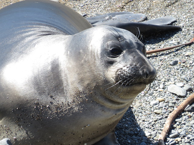
We had saved the last few days remaining on our original 6 month US visa in order to head back into Alaska and visit the little township of Haines. It lies near the head of the largest fjord in Alaska and its only road access is via Canada but enjoys seaborne access to the rest of the US. This area of Alaska is known for it’s fjord like waterways and is one of the ports visited should you embark on the inside passage ferry route.
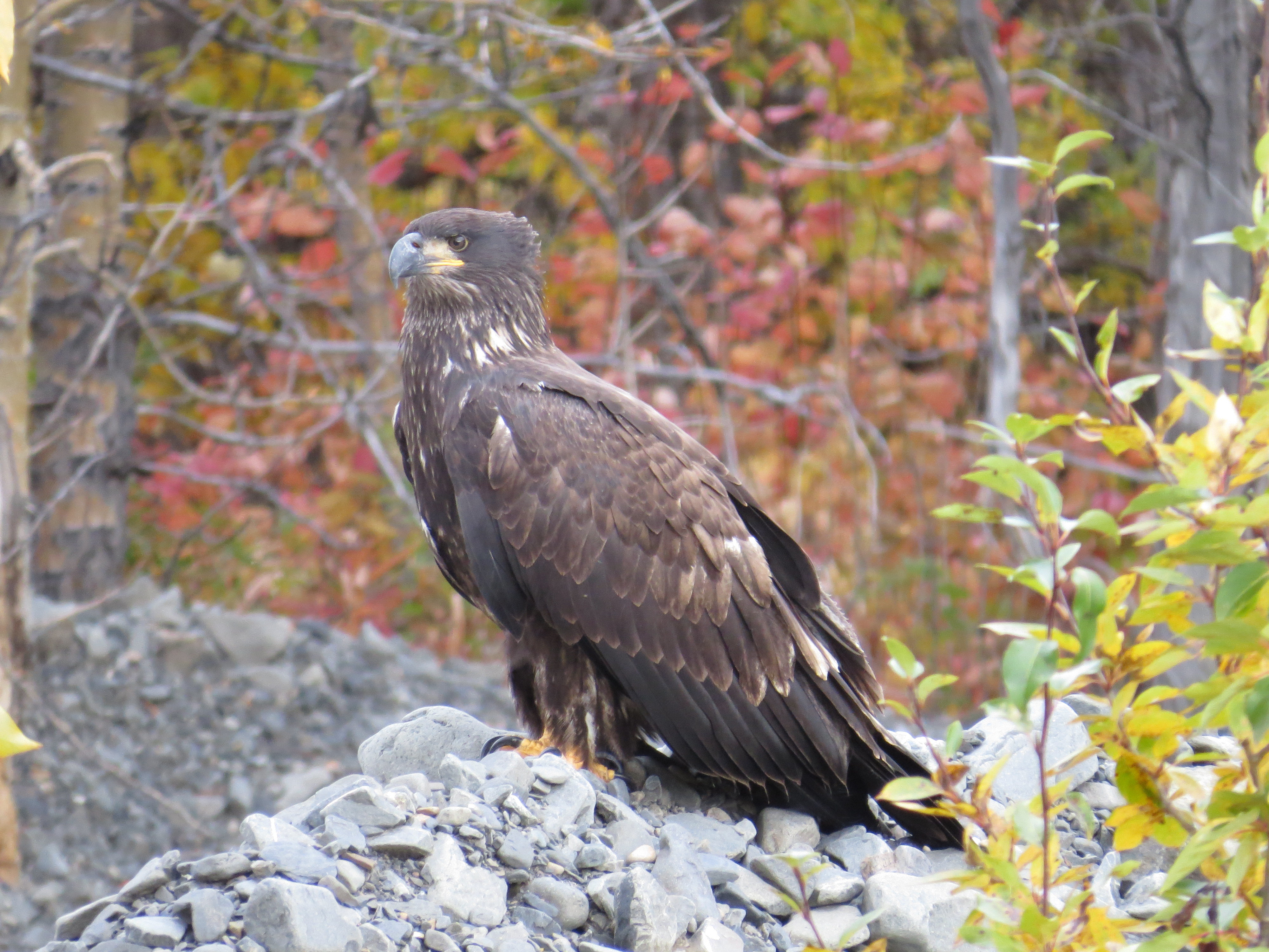
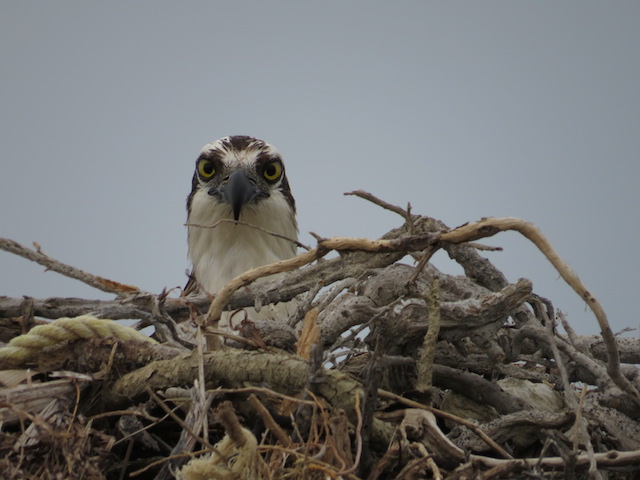
Golden Eagle
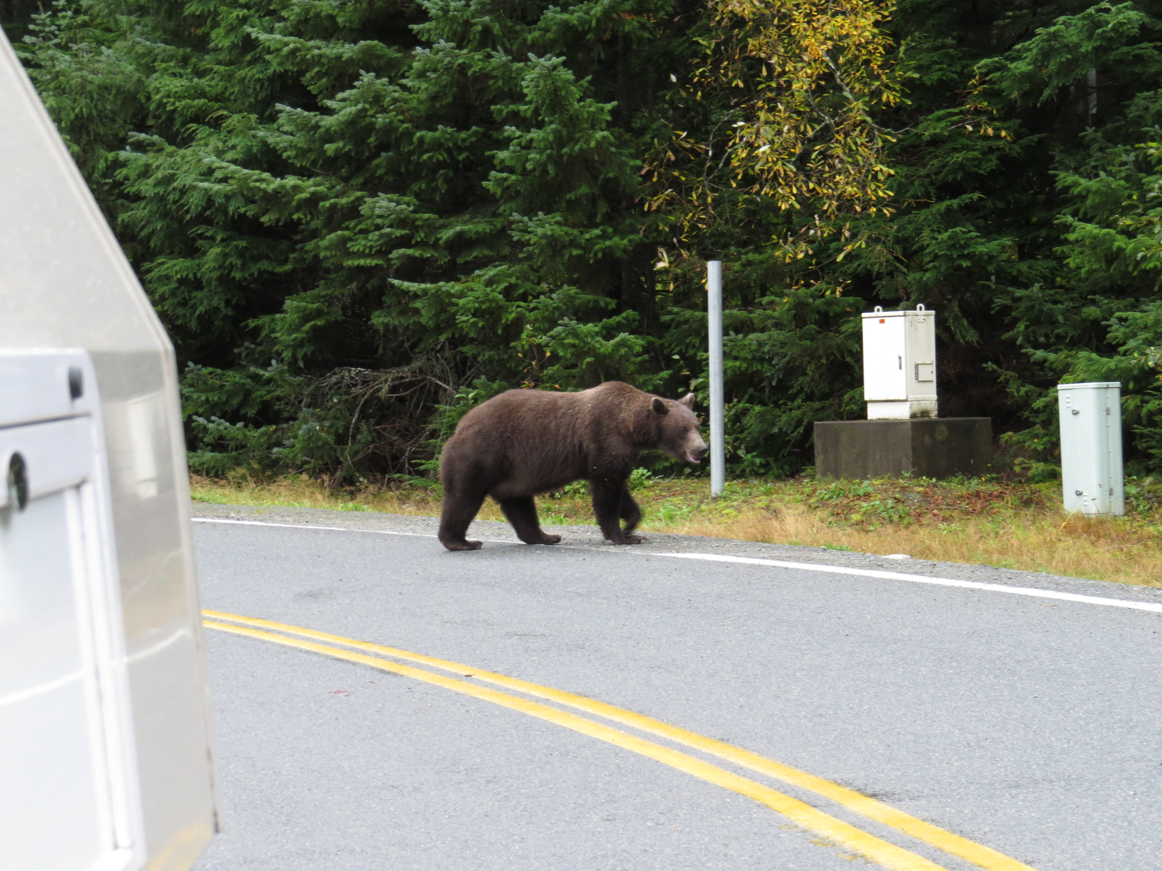
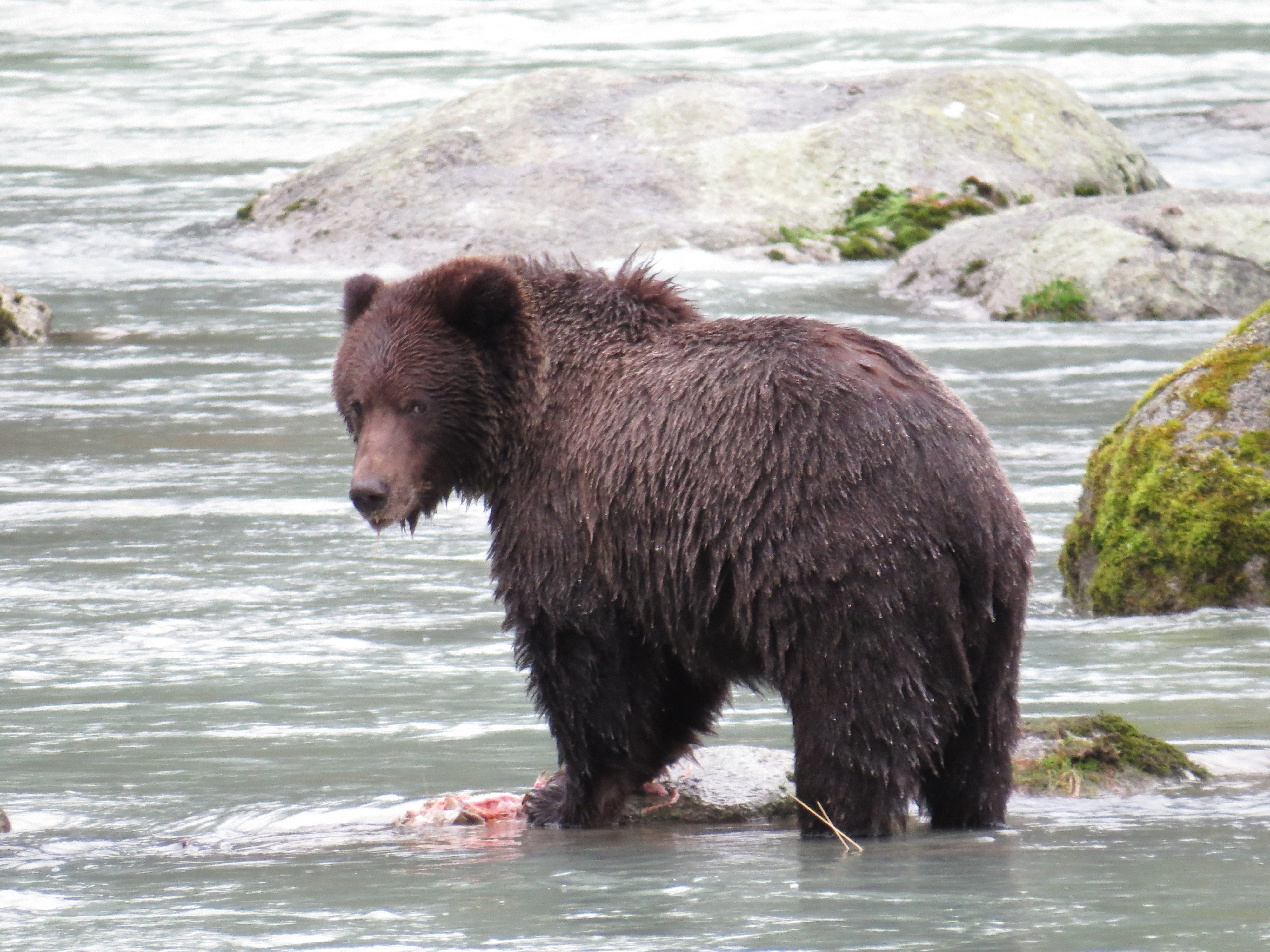
Our visit, however, was based on the hope of viewing some Grizzly Bears as the town is also well known as a Grizzly hotspot, even late in the season.
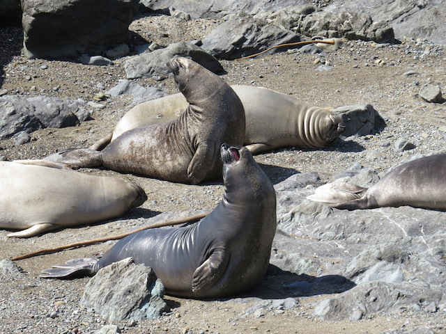
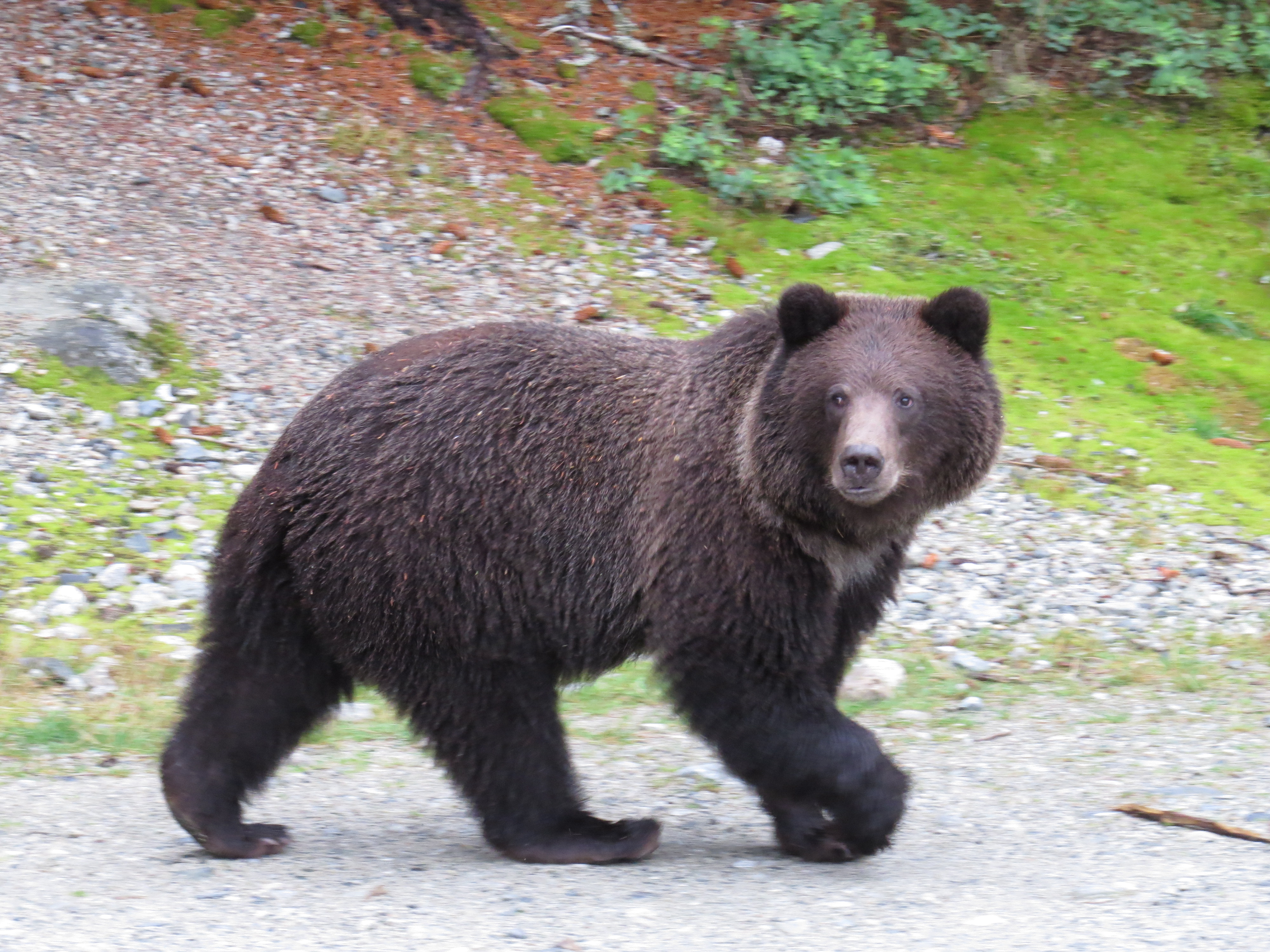
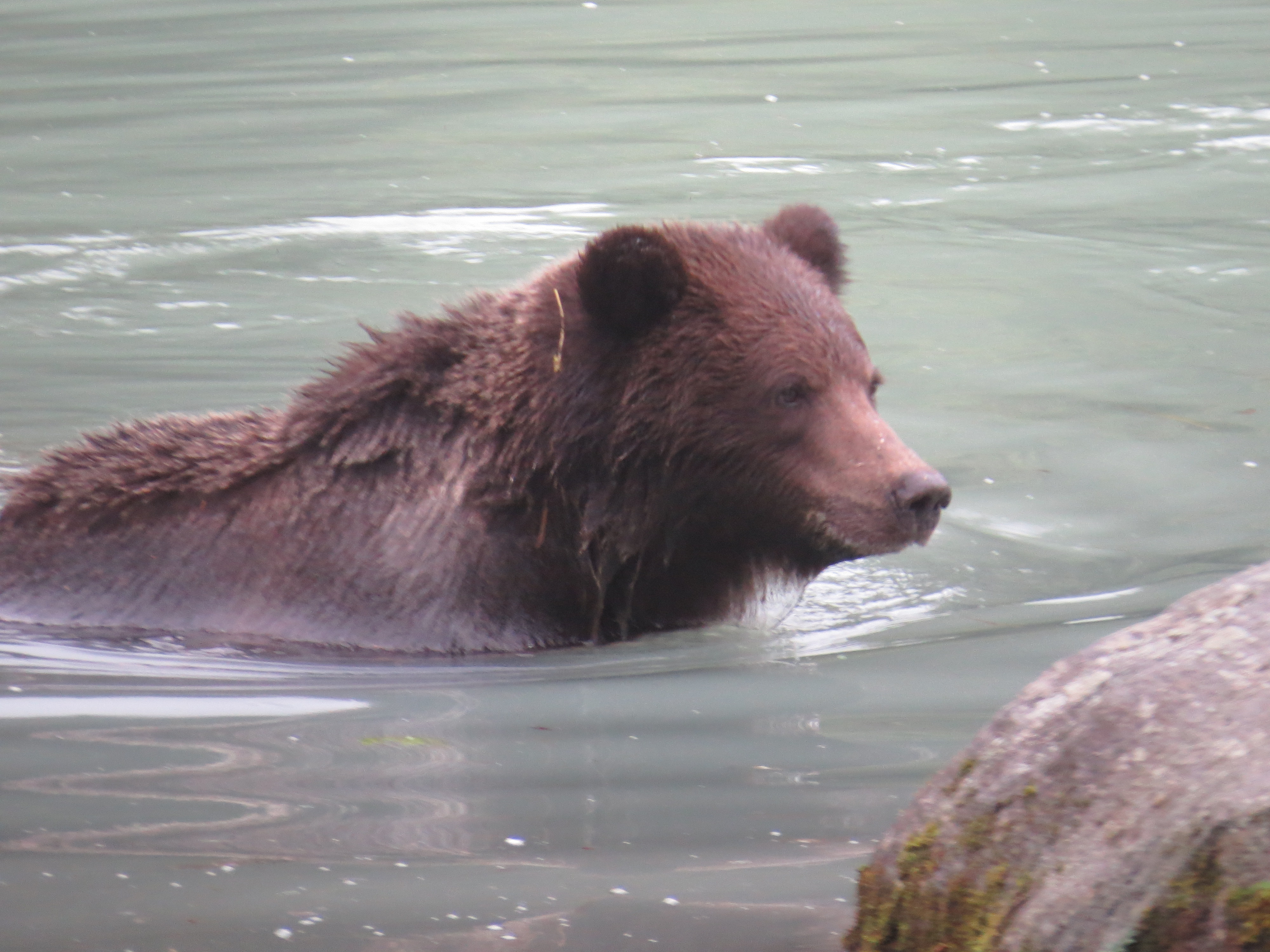
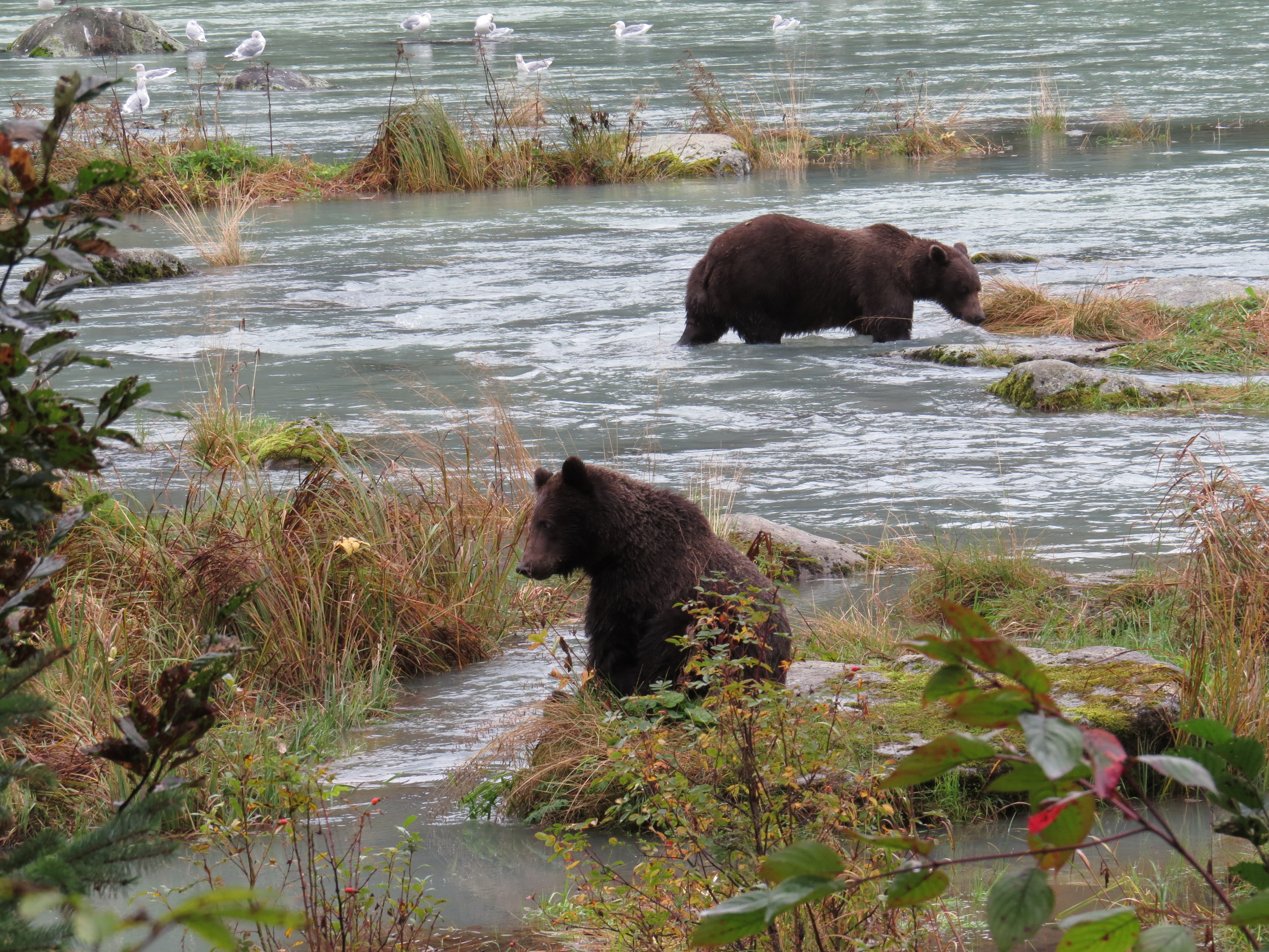
Wandering around the coastline back and forward for a few hours, we began to think that our chances of an encounter were evaporating. At the point we were about to consider the exercise a failure and depart Haines, fate shone upon us. A large Grizzly and her 2 cubs made their way along the shoreline of the Chilkoot Inlet and began wandering the shoreline, catching Salmon, swimming and playing in the freezing waters as they went!

Mama and her cubs out for a stroll
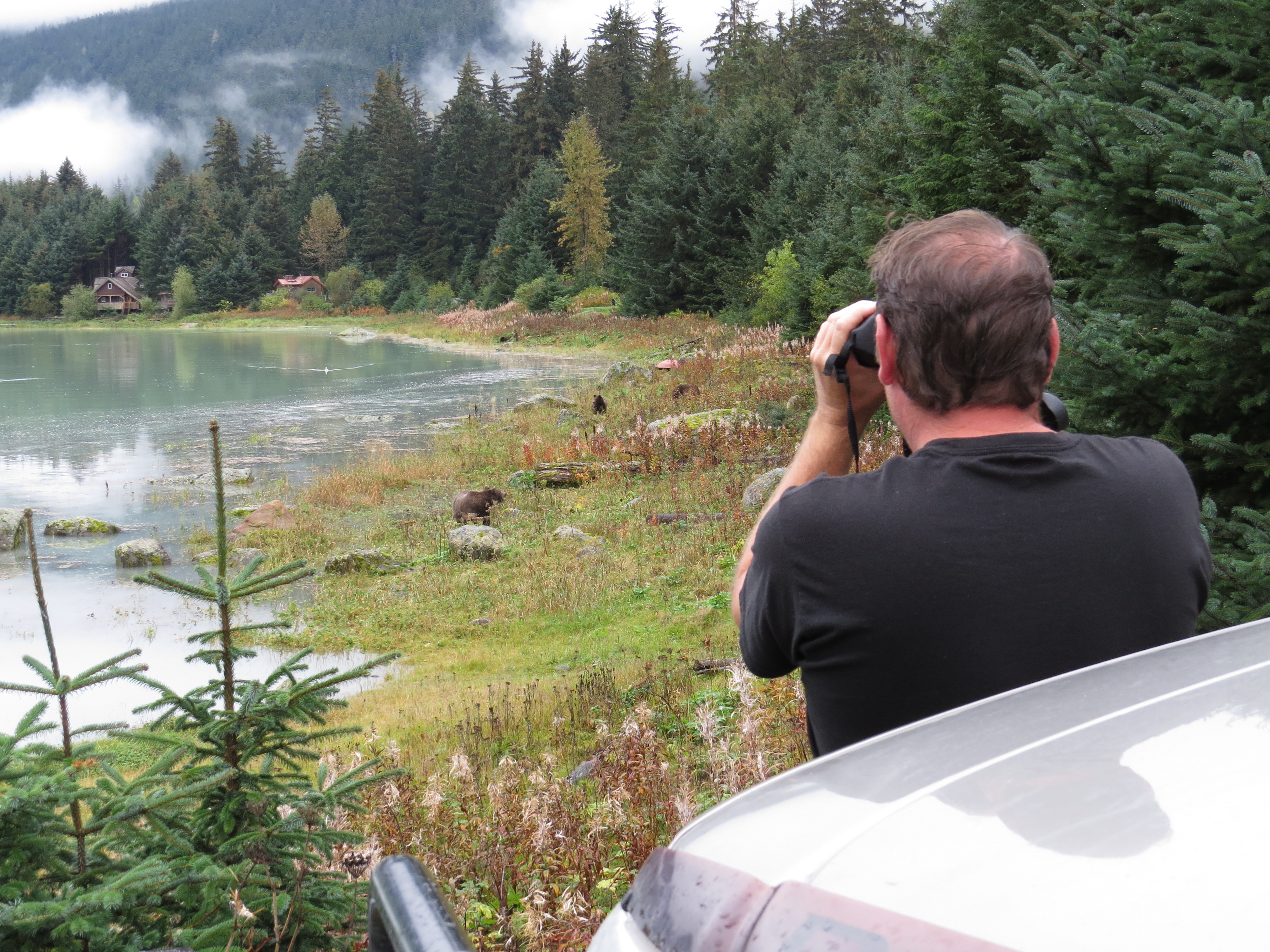
The bears are just there!!
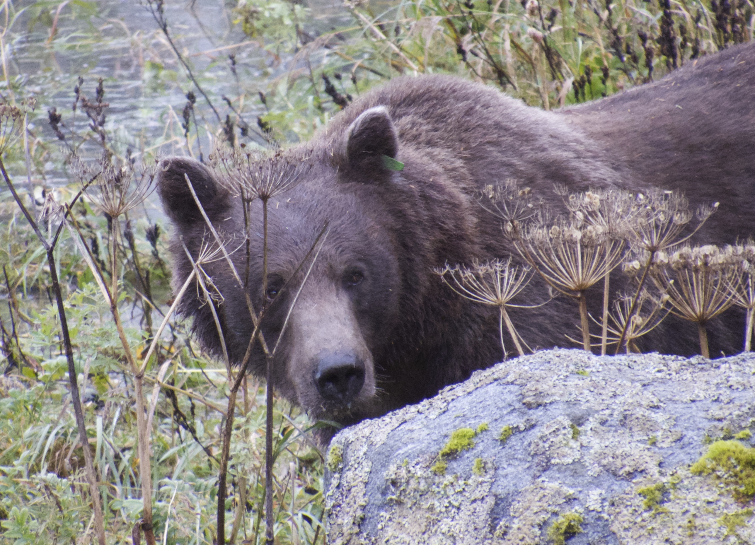 The cubs were probably last year’s brood as they were quite large. Generally cubs stick with their mother for a couple of years before venturing solo!
Mama keeping an eye on her cubs
One of the cubs

Foraging
Love that Salmon
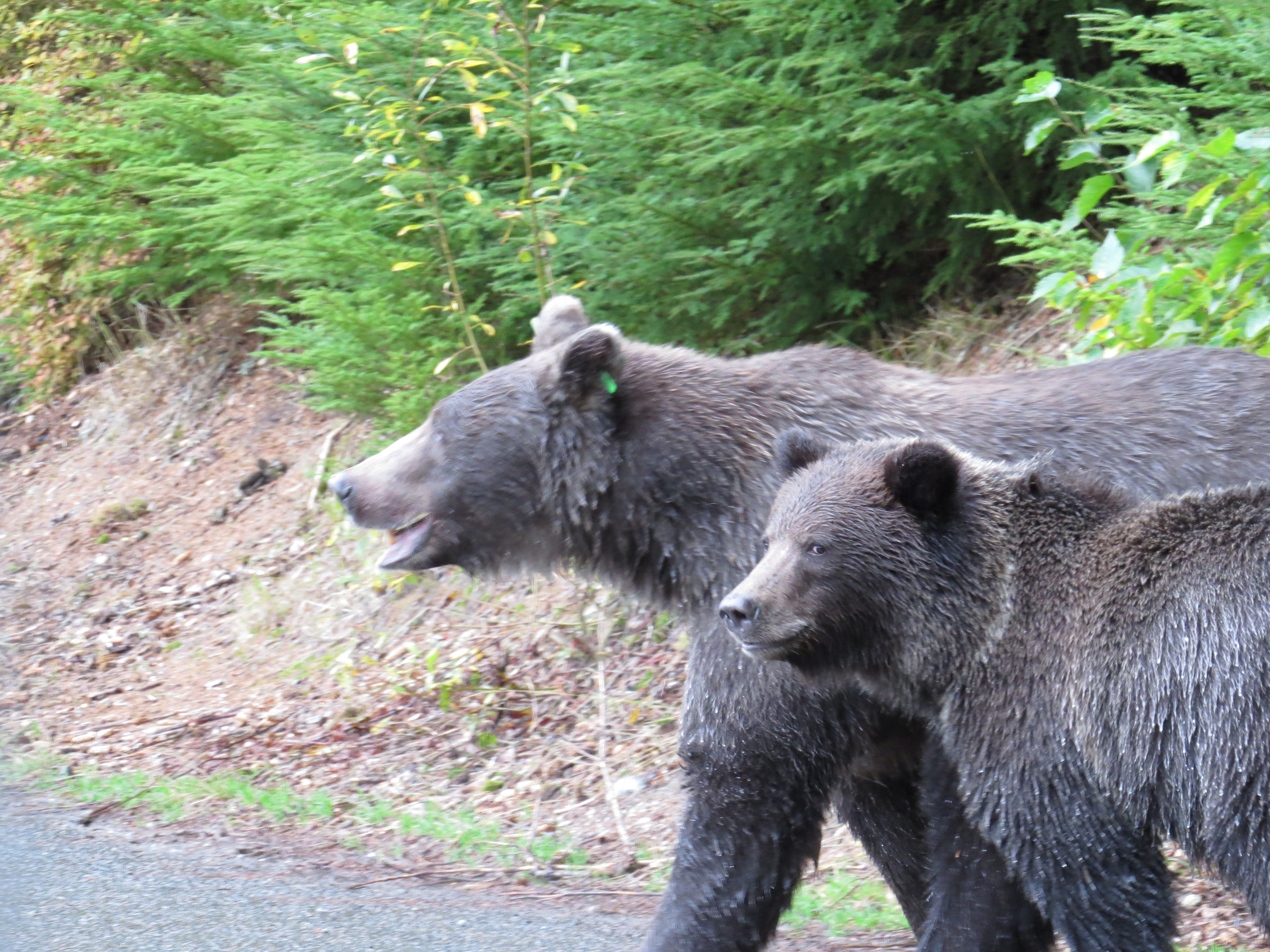
Mama Grizzly waiting for cub no.2 while cub no.1 keeps an eye on us

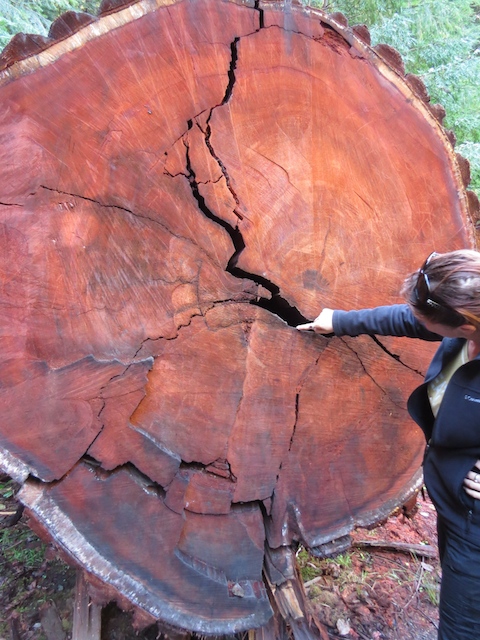
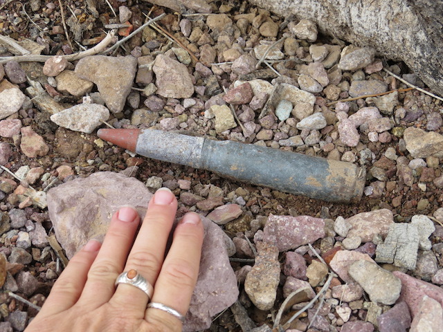
Grizzly bear footprint
Pretty bloody cool if I do say so myself! We watched them for 2-3 hrs!!! Worth every bit of the detour!!!!!
Heading Back to Canada
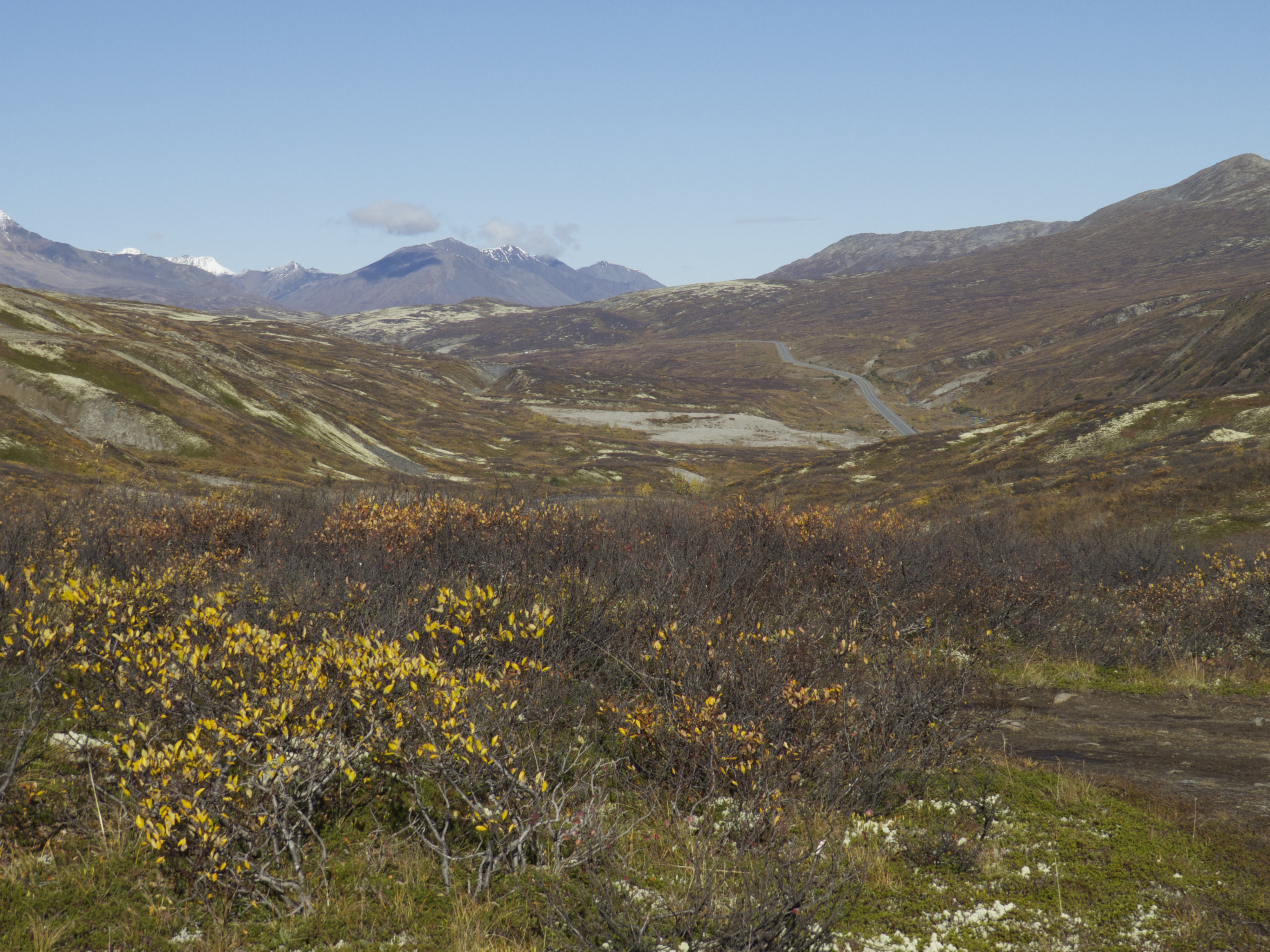
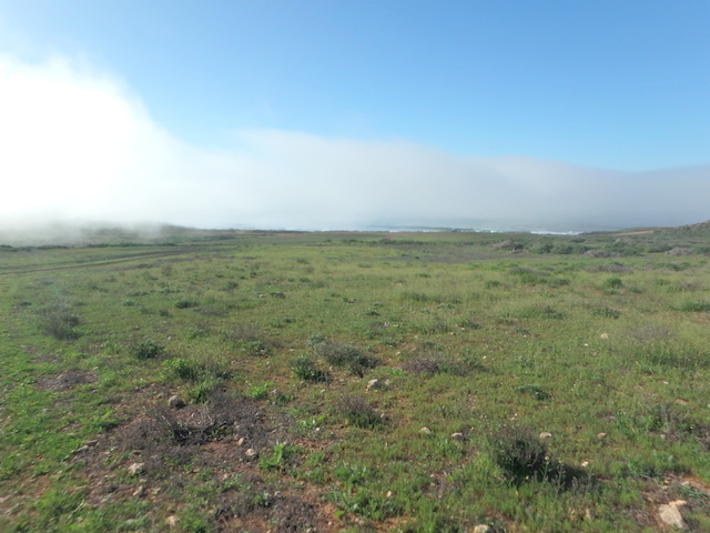
The Tundra

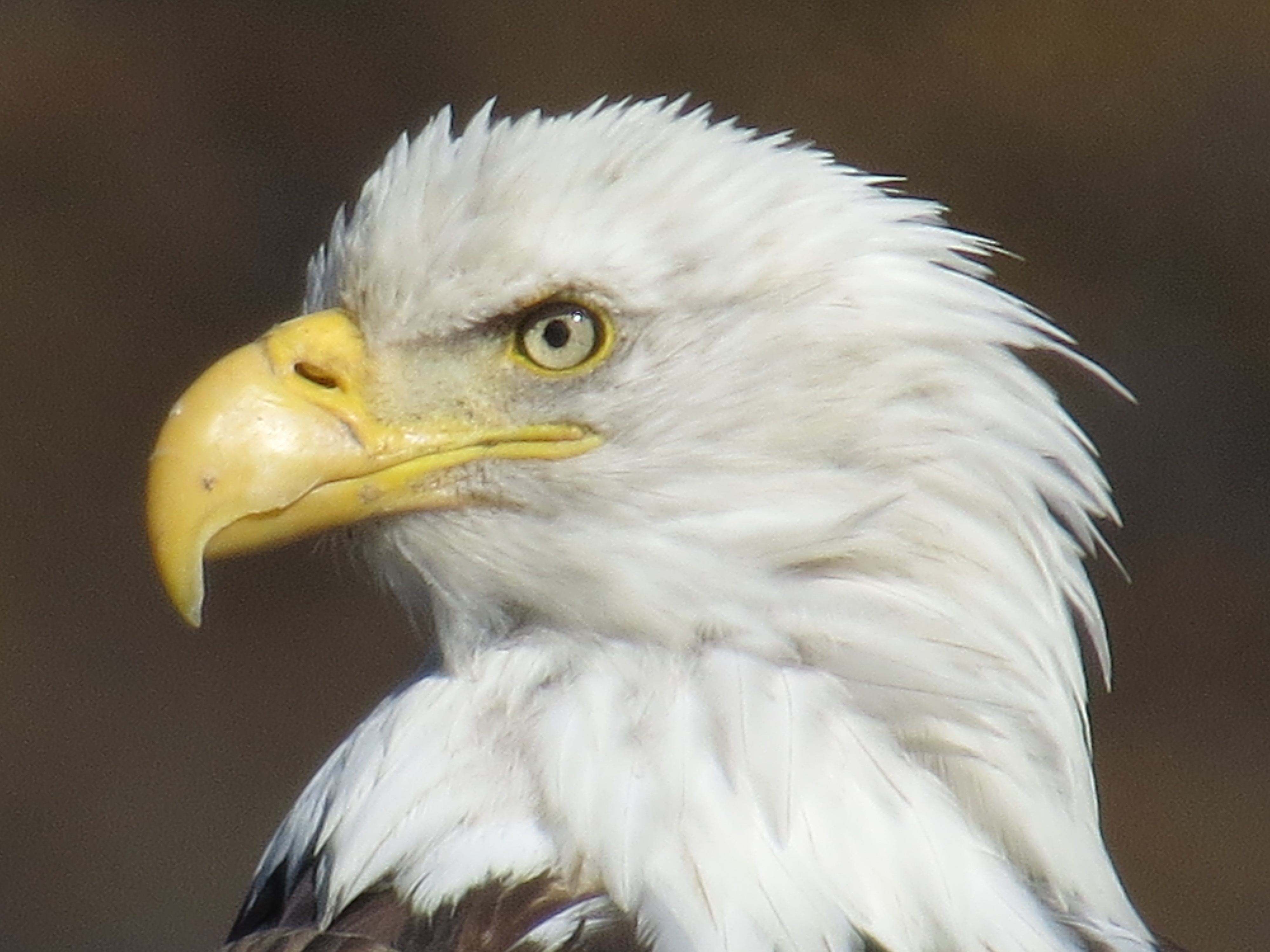
Bald Eagle
Back on Canadian soil, a blur of fur scurried across the road a couple of hundred metres ahead and of course we had to investigate!!! Turned out to be a River Otter crossing the Hwy before it disappeared in a creek! He’d given up his location however, so after parking and going into stealth mode, we listened for a while as the Otter family screeched warnings of danger to each other!
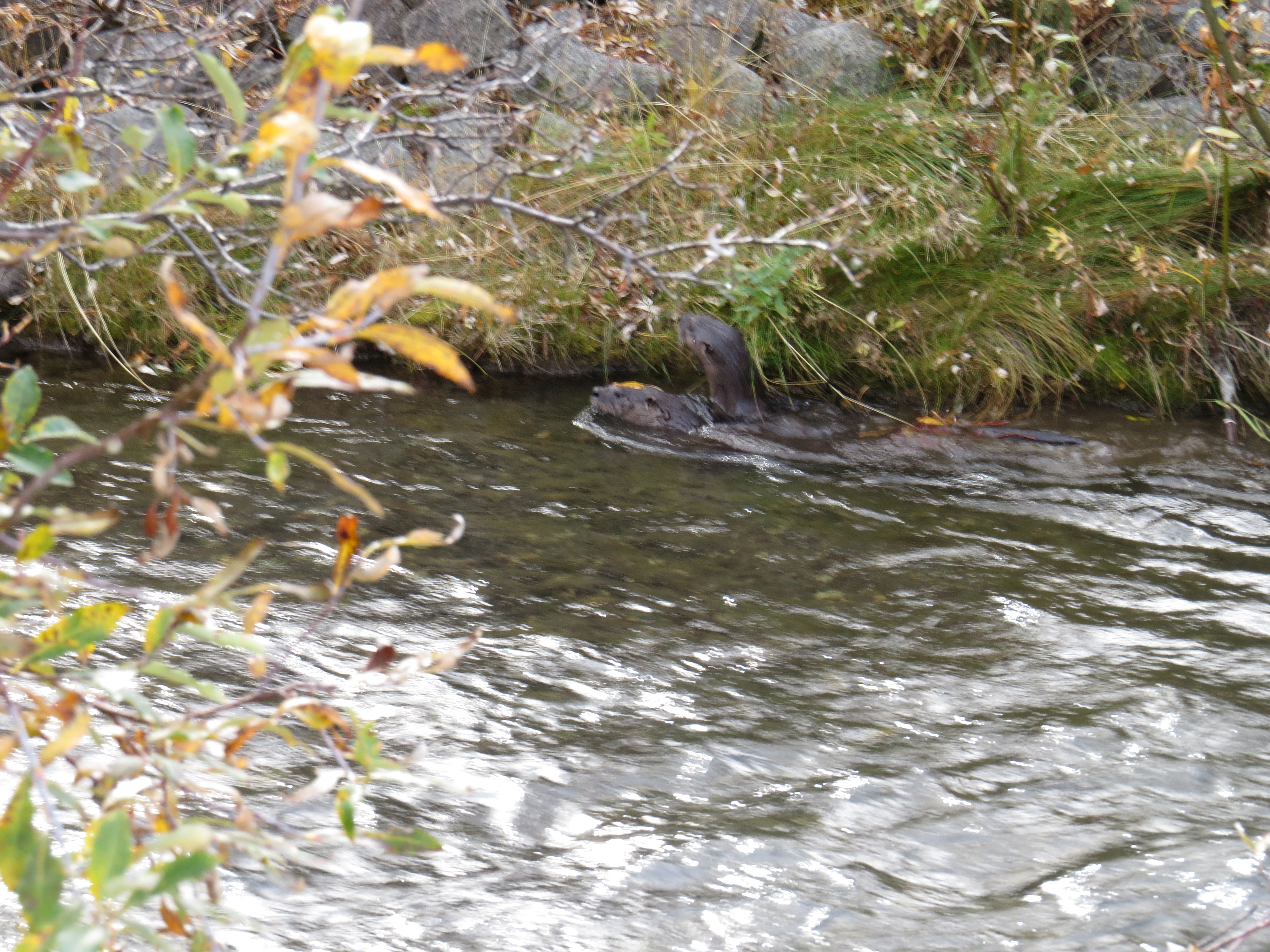
River Otters
Fascinating creatures! We could have stayed for hours as they hid themselves under the embankment only to reveal their hiding places intermittently to check on the status of the predator (us) as they hung onto tree roots and dislodged plumes of mud in the fast flowing water. Every now and then one would pop out for a look-see before darting back under the vegetation. We left them to enjoy their watery home after a short visit.

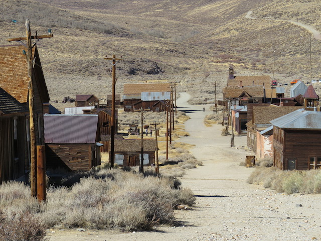
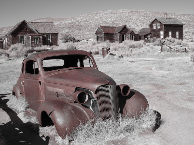
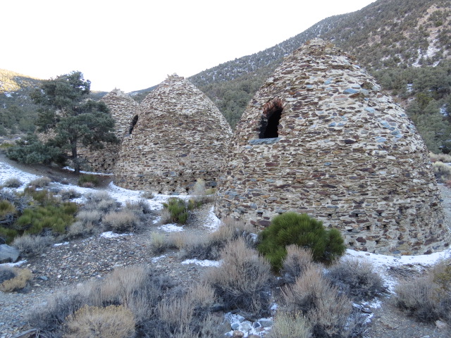
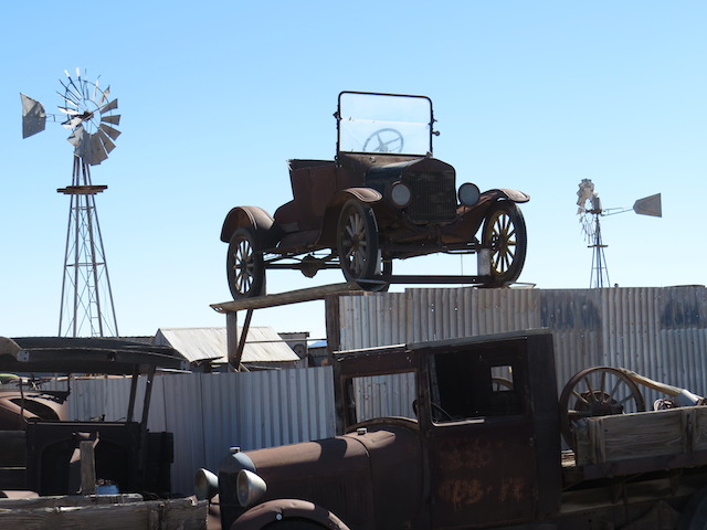
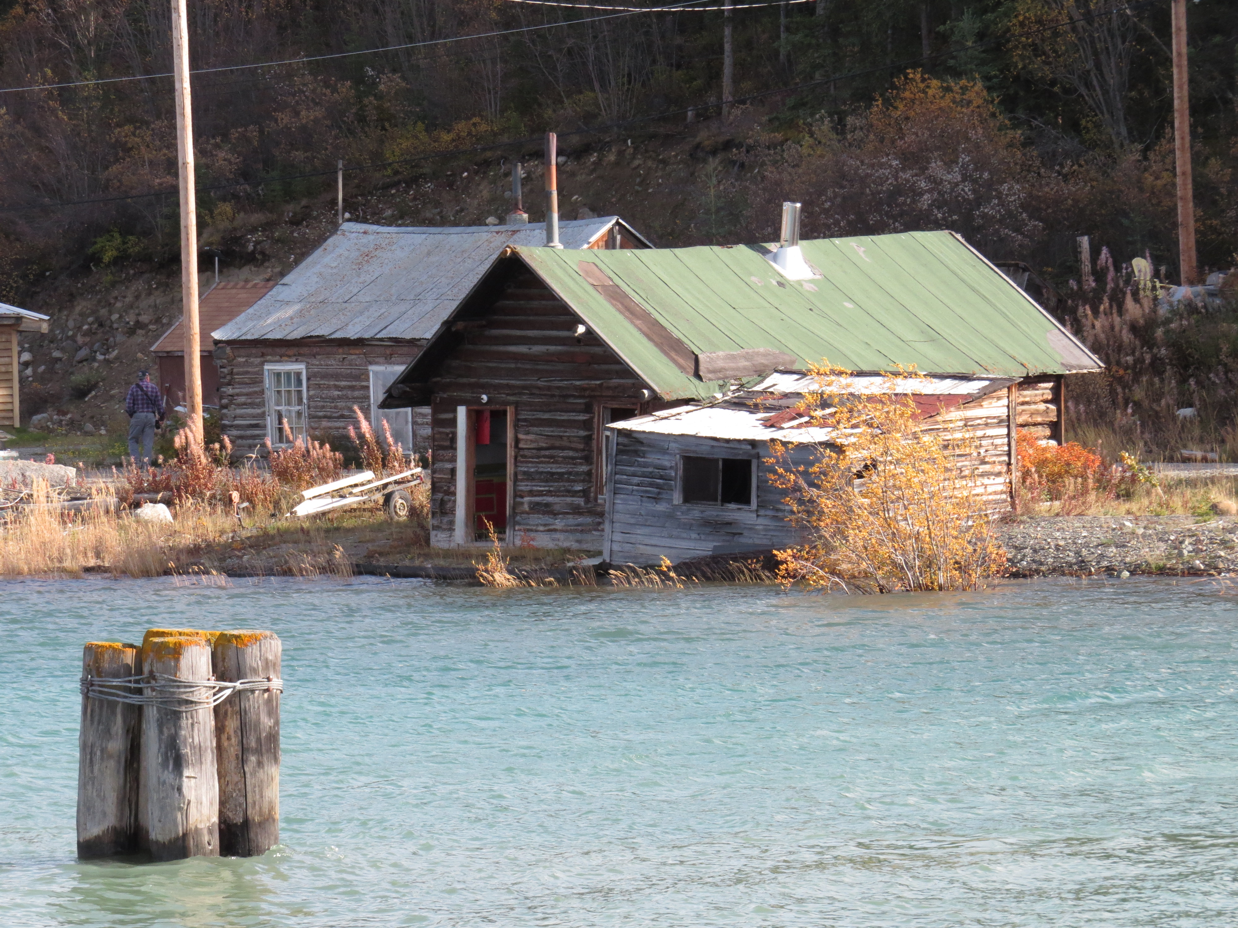
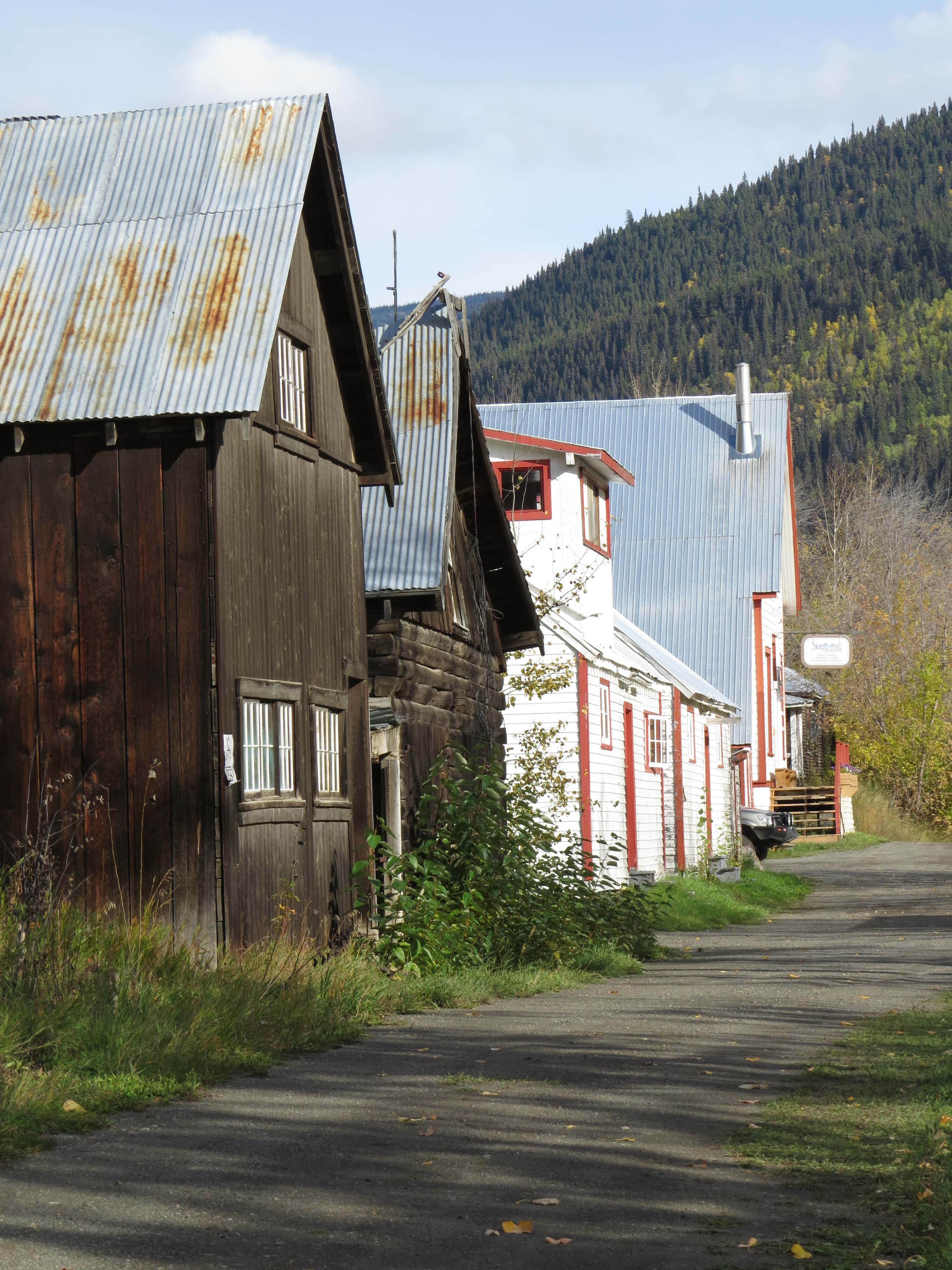
Another reminder of days gone by in Whitehorse
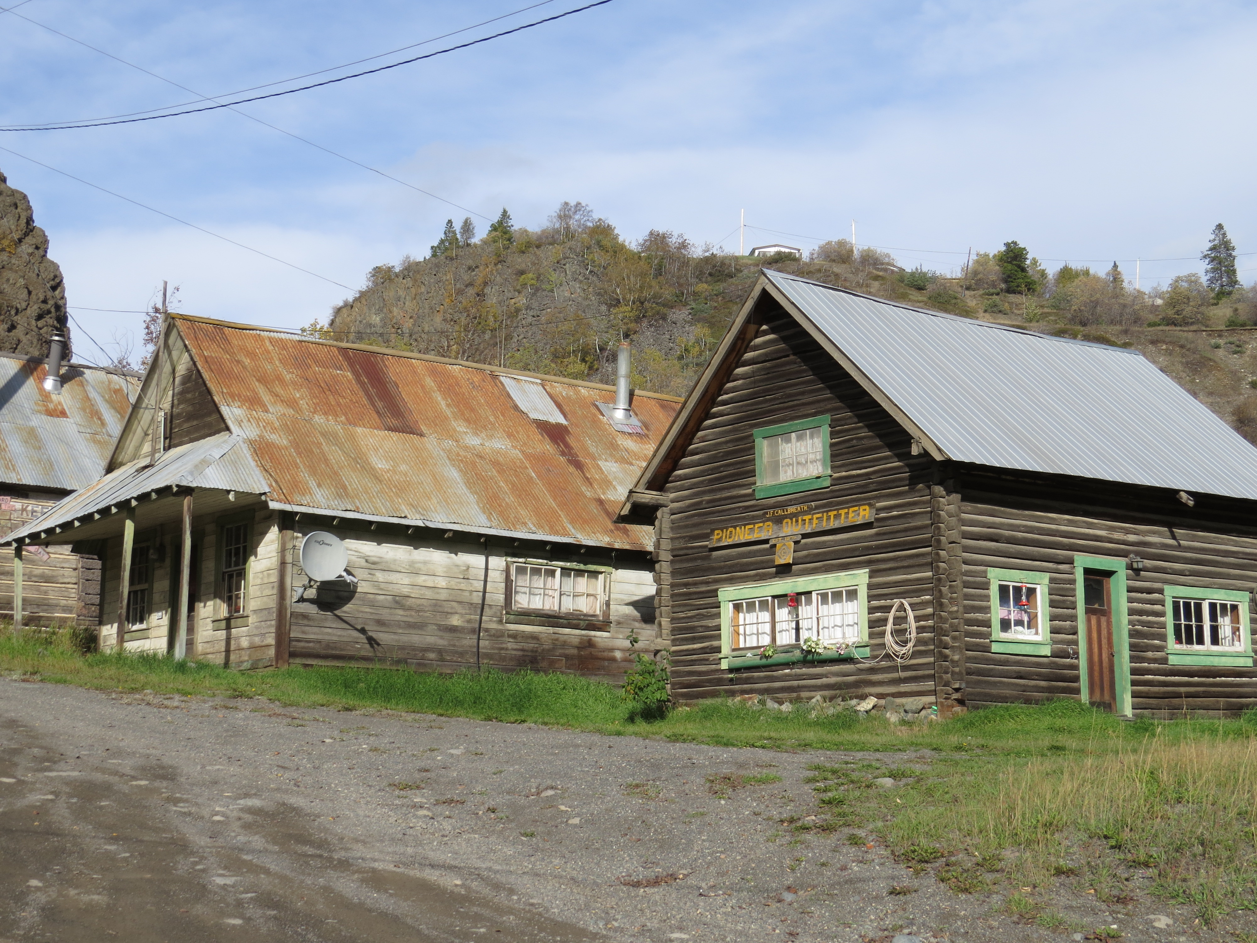
We made a detour to the Carcross Desert and the town of Carcross (an amalgamation of CARibou CROSSsing), an historic little town worth the wander. When the lady at the tourist info told us of gold panning in the remote town of Atlin, Jen was sold!!

Carcross Desert – the smallest desert in the world!

Carcross town site
Carcross History

Great totem pole art
Lots of early mining ruins interspersed with a reasonable spread of current workings around Atilin provided a great opportunity for fossicking. We managed a great little campsite that afforded Jen another opportunity to spend her time panning and yes she managed a few “colours” in the pan, as the old salts say! Could probably exchange it for 20 cents!!!

Mining Relics
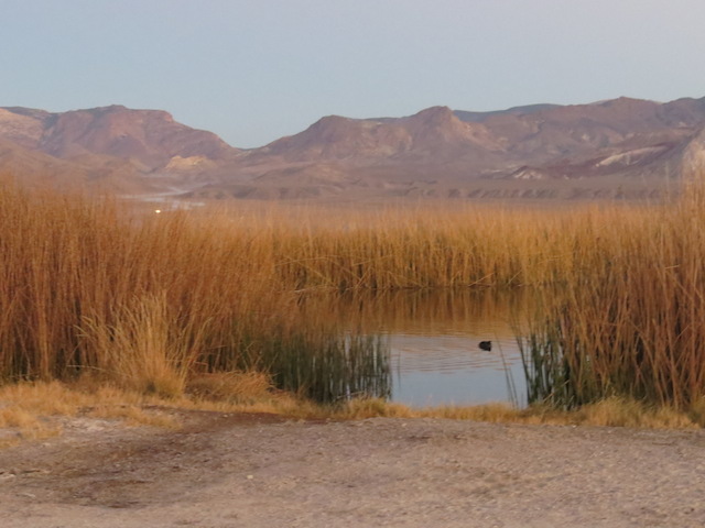
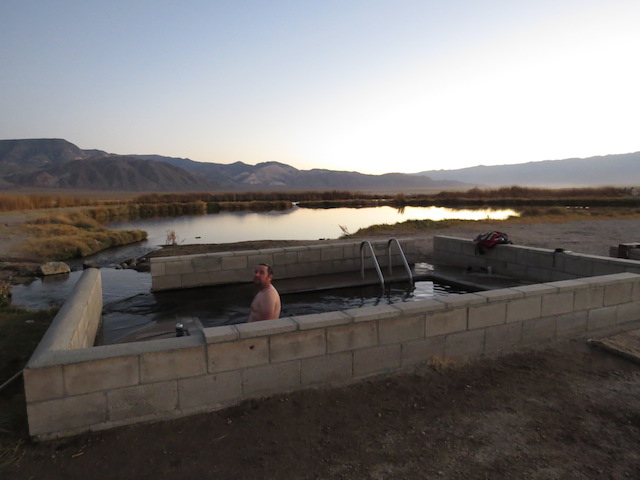
The “Luke Warm” Spring as we called it because you certainly couldn’t call it hot!

Someone thought shrimp would be a good idea in the warm spring…
Love these guys!
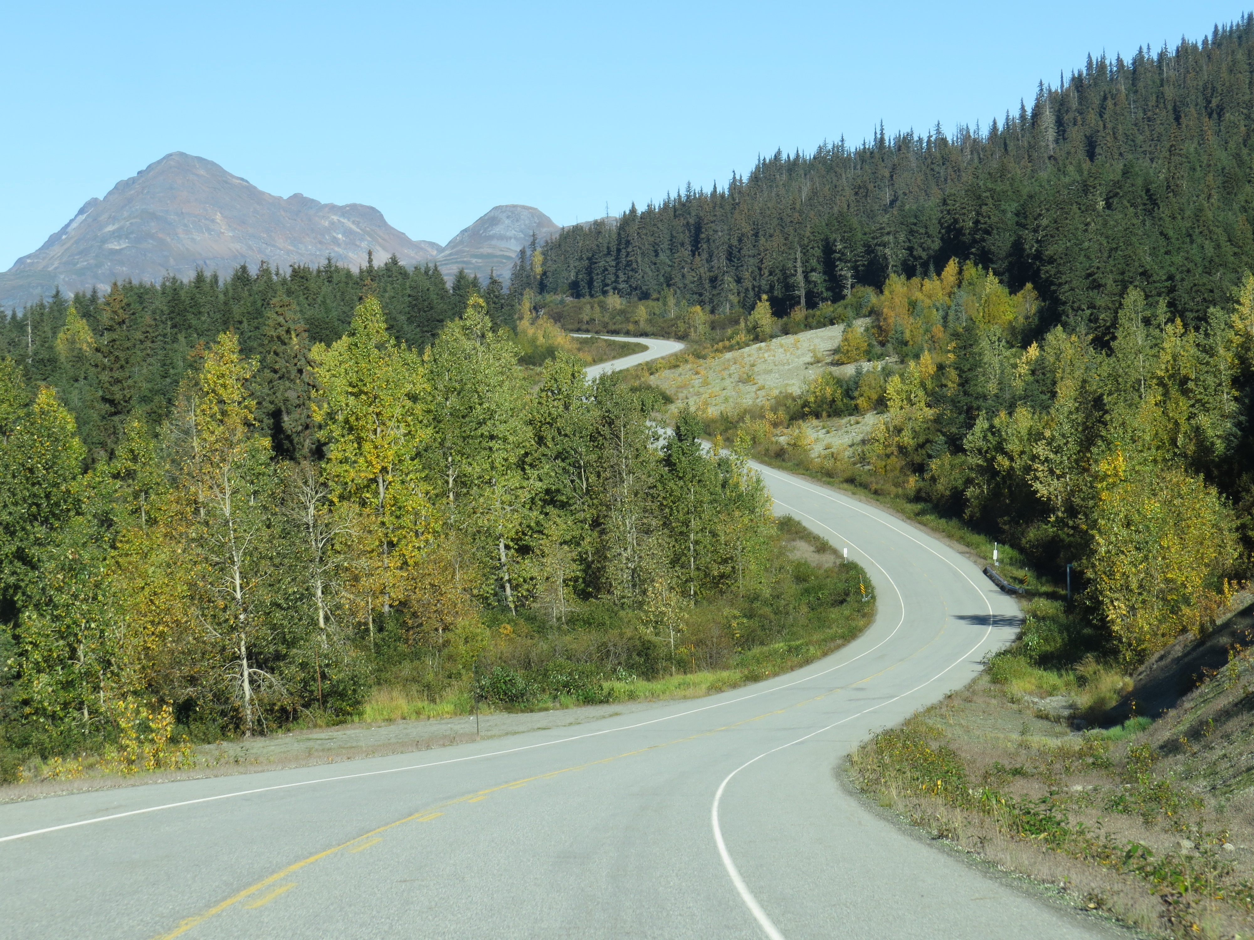
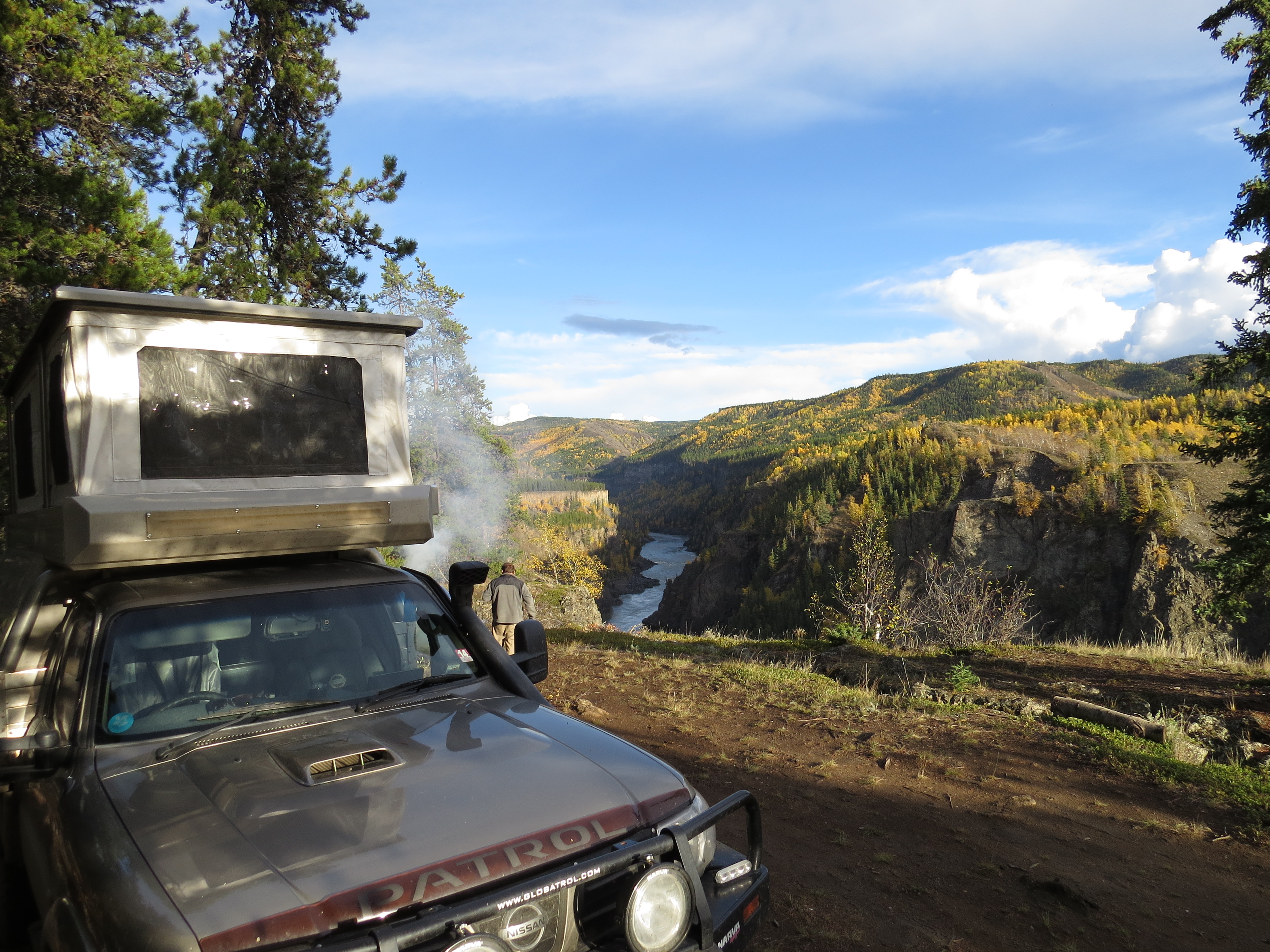
It was our intention to travel the Stewart-Cassiar Hwy south, which would allow us the opportunity to again return to Alaska and the little town of Hyder.
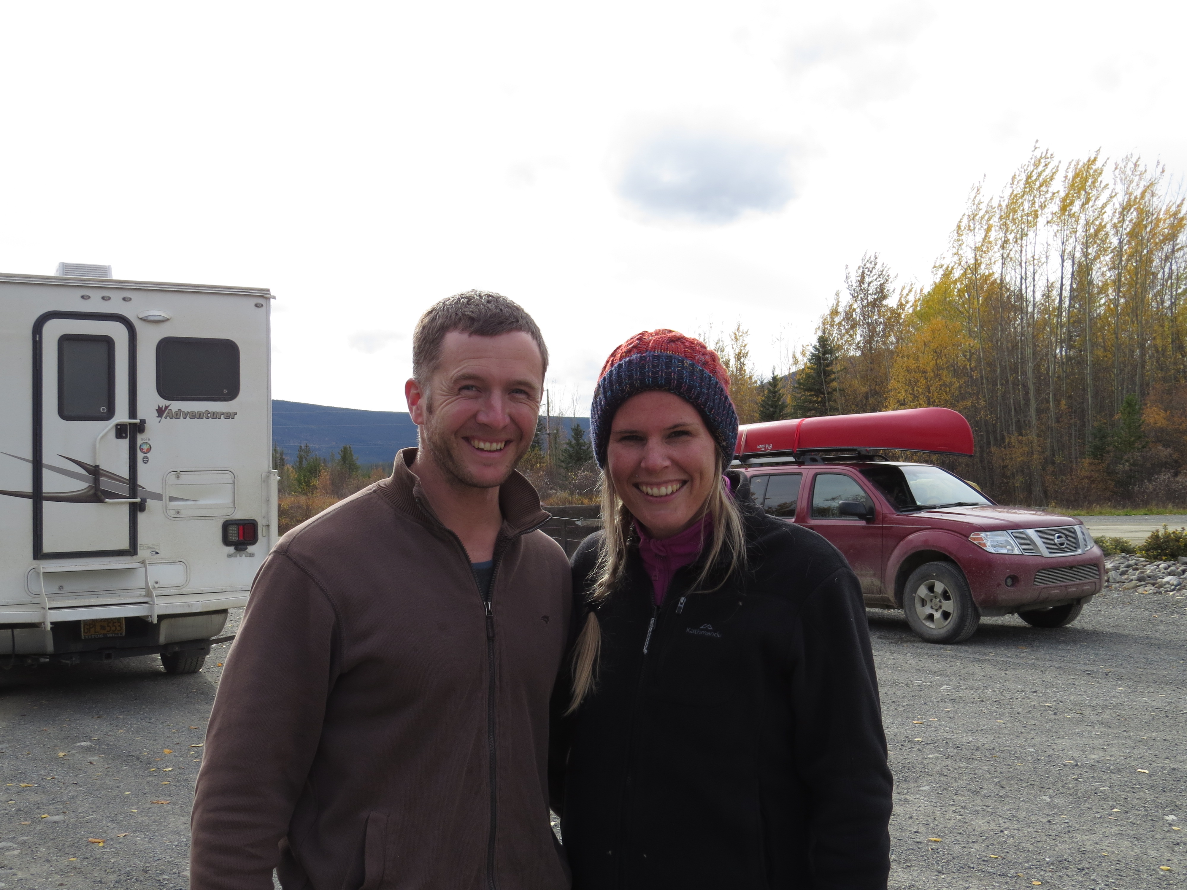
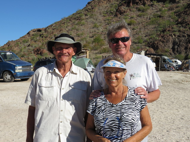
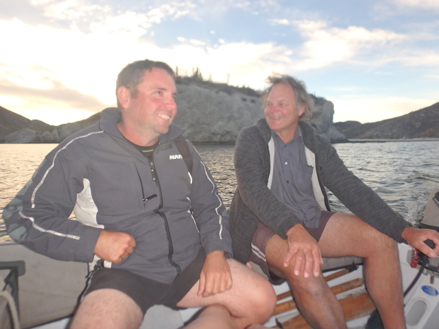
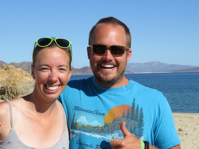
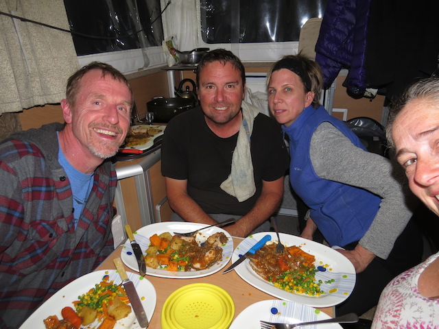
Ian and Anna from Broome

South Canol Road
Hmmmm!
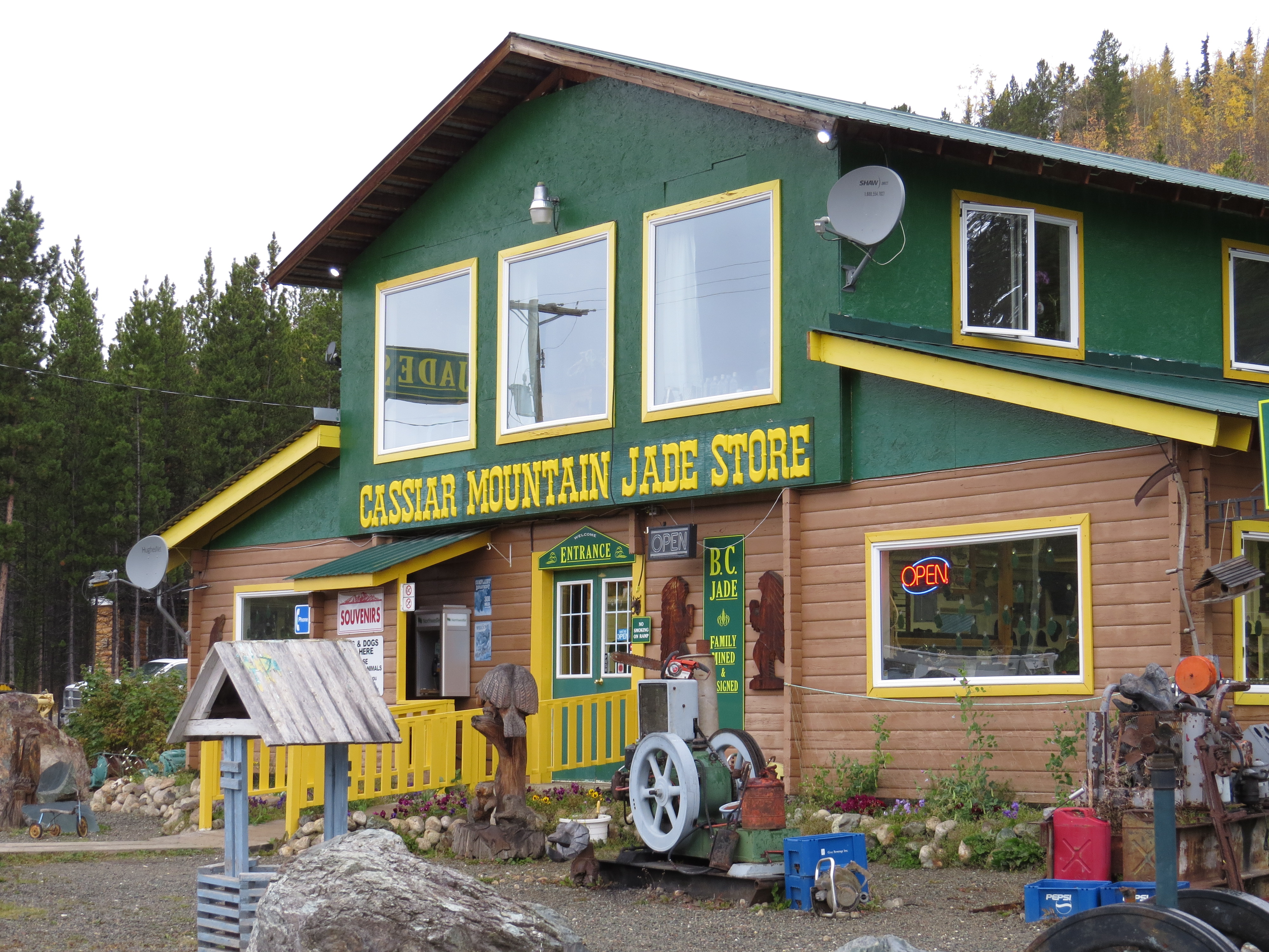
Stewart – Cassiar Hwy Jade store coming to a TV near you soon!
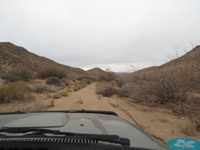
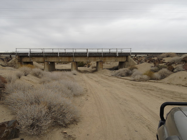
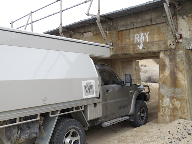
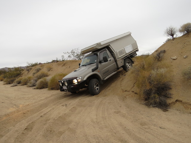
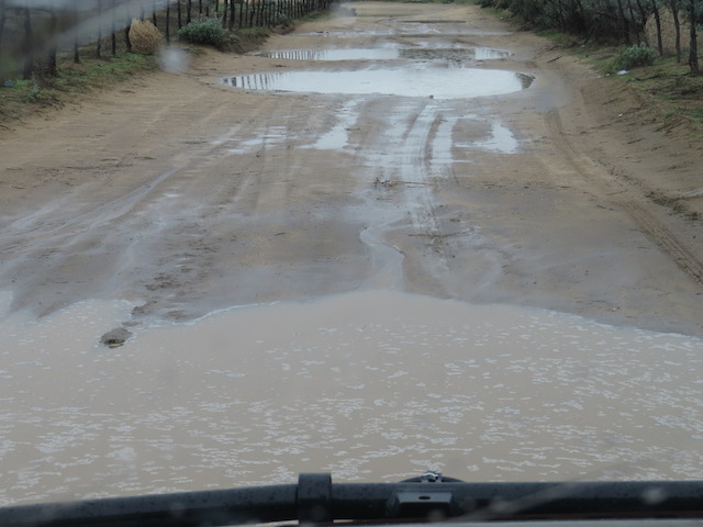
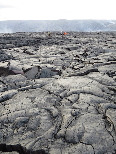
After Jade City, we detoured to the historic town of Telegraph along a route referred to as the “Grand Canyon of the Stikine. A lovely sticky layer of muddy soup coated the dirt road surface for the next 100km, as we were only a day or so behind the first heavy rains of the season.
A slippery and dirty transit was in store but the scenery fast trumped any bleating about the cleanup job the Patrol would need.
Lovely old relics
Telegraph Creek
Old Town Telegraph Creek
Our great Stikine Valley Camp
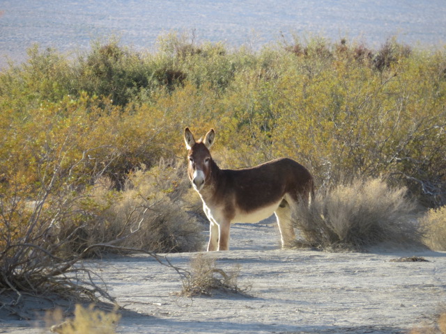
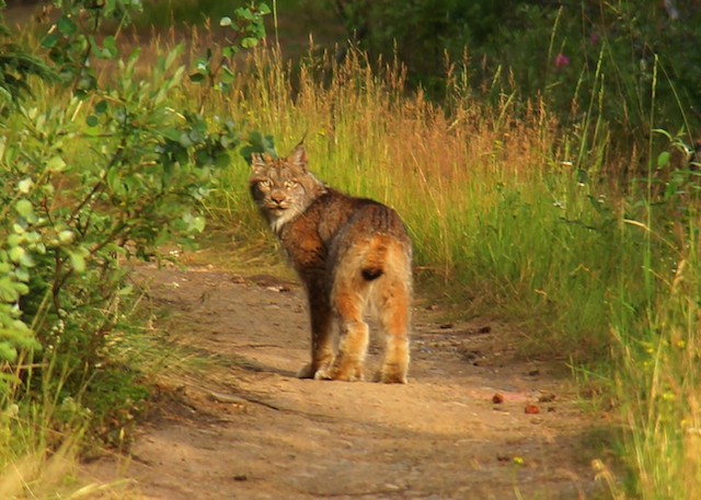
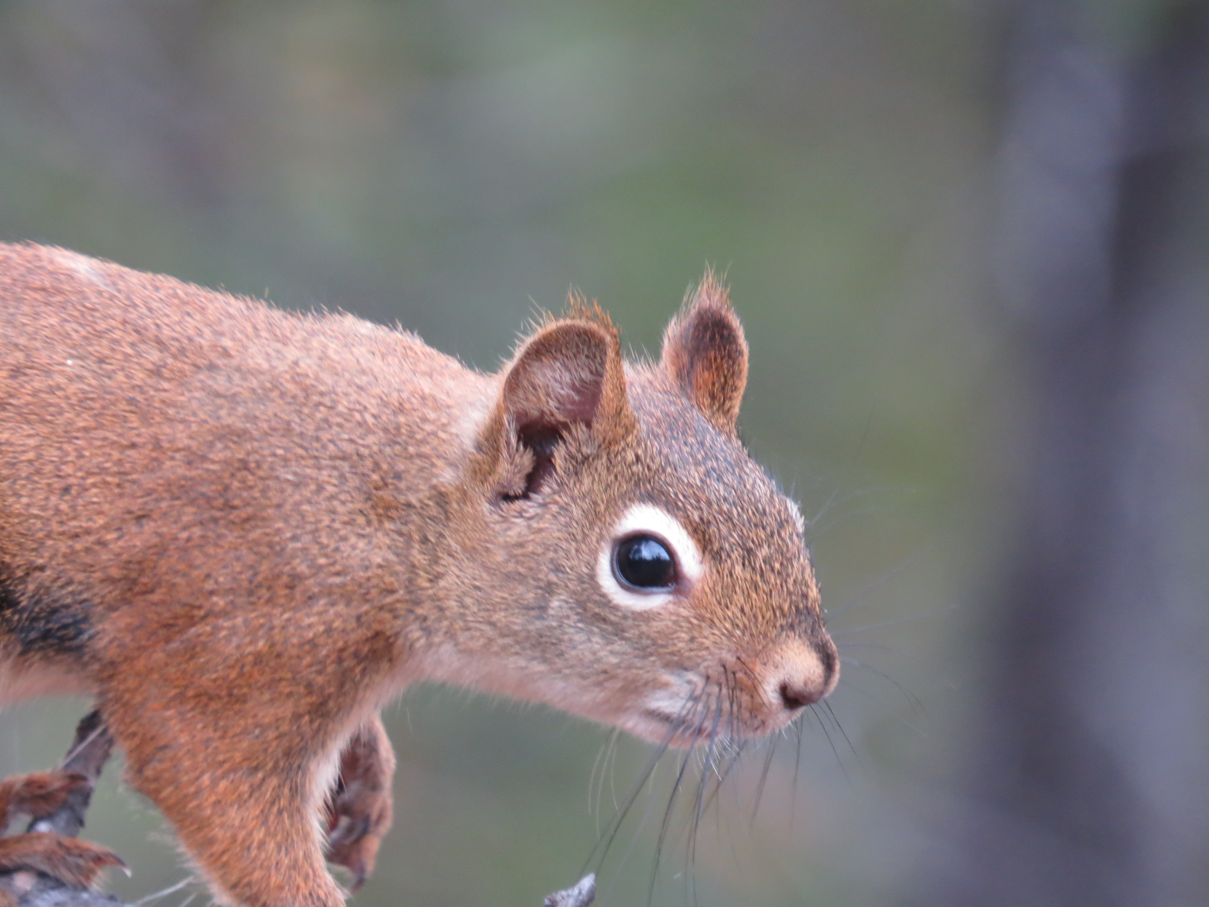
Amongst the myriad of creatures we’d now encountered in our recent travels, Jen managed to add a Lynx (Bobcat) crossing a sidetrack to the mix! Unfortunately I missed the elusive animal and without a photo, I suspect she’s pulling my leg, but I’ll have to give her the benefit of the doubt I suppose…
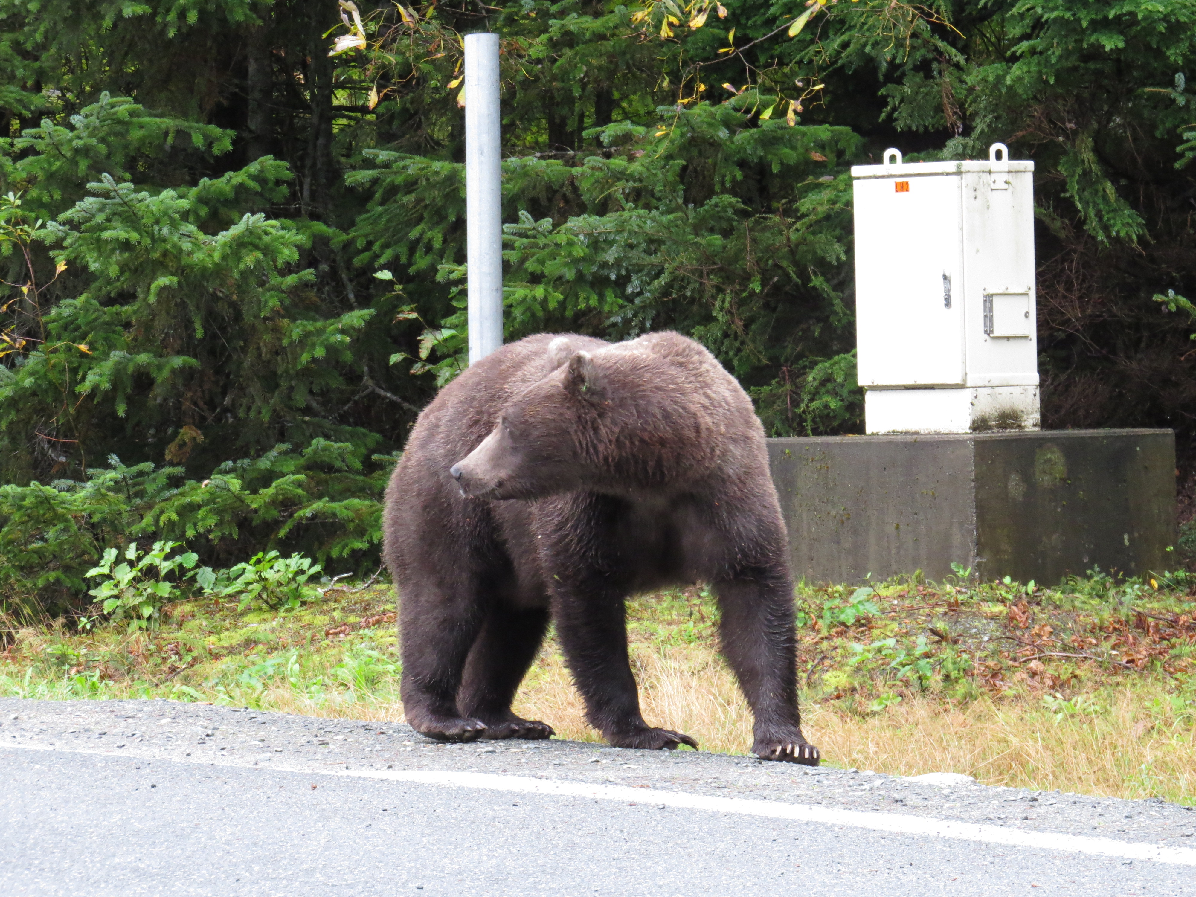
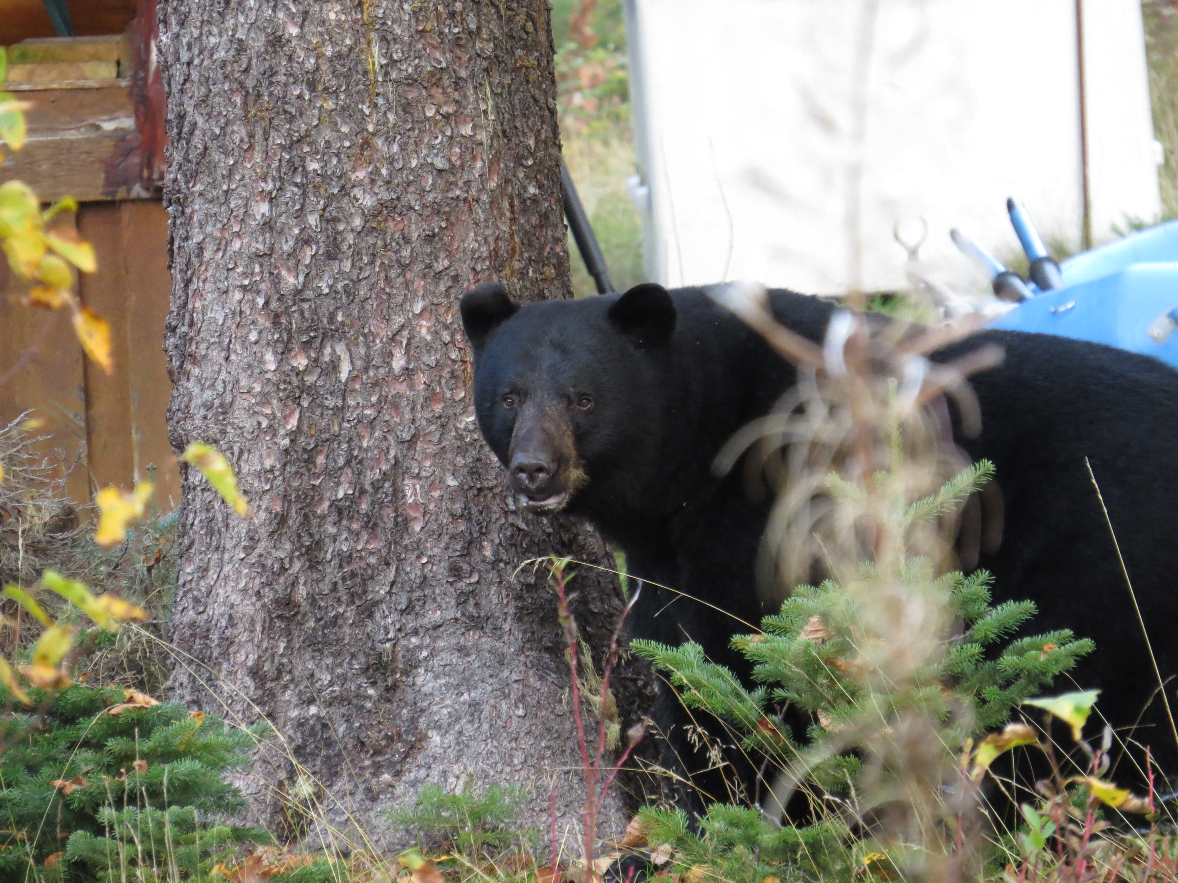
While looking for a campsite at Meziadin Junction, before making the trip out to Stewart and Hyder, we encountered black bears on the road and even in people’s gardens!!!!
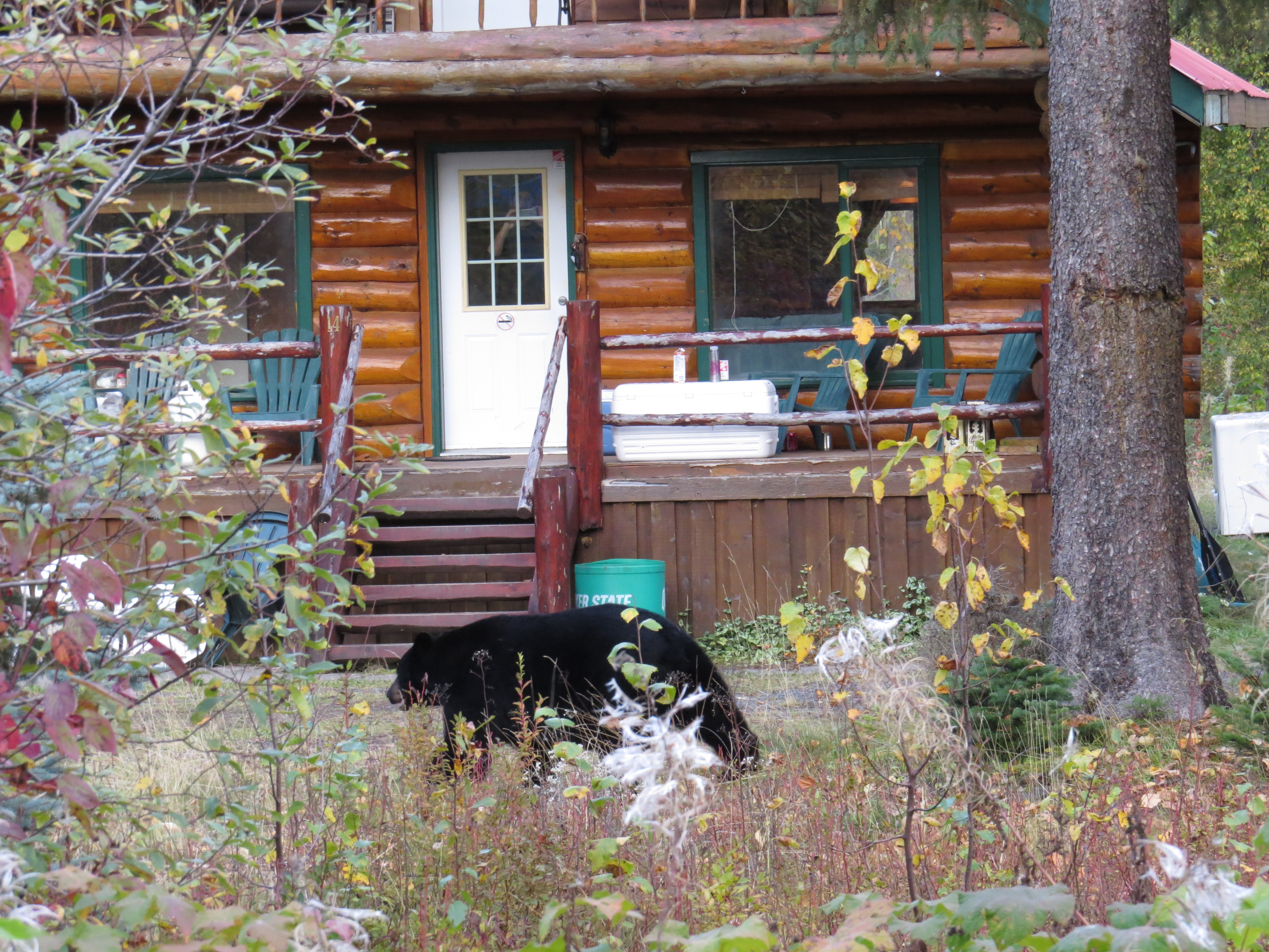
Bears In Gardens!
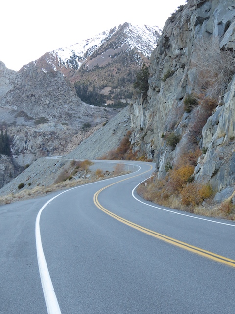
 The drive out to Stewart was very scenic with glaciers and sheer rock face canyons. Stewart is the last town on Canadian soil before crossing back into Alaska and the little town of Hyder, only a couple of kms away. Luckily there is no border control on the US side here so a valid US visa wasn’t necessary. Hyder is home to the Fish Creek bear-viewing platform but being well late in the season, we weren’t holding our breath as far as another Grizzly encounter was concerned and that was fortunate, as we didn’t see one!

Back in Alaska but not for long

The bay leading to Stewart, Canada
Truthfully, I wasn’t too bothered. The viewing platform gives the whole experience the feel of being at the local Zoo. Designed to keep humans separated from the bears as they chow down on the salmon in Fish Creek, it’s definitely better than having swarms of camera toting tourists getting up close and personal with a Grizzly, as someone is bound to get eaten through stupidity!
That mark on the ground is a grizzly bear footprint!!! Huge!!!
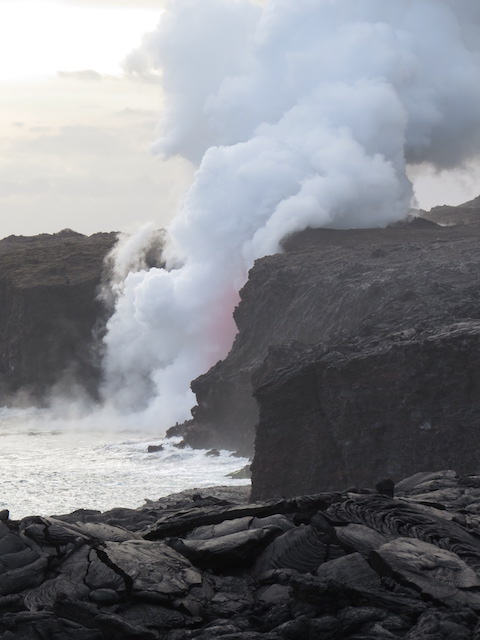
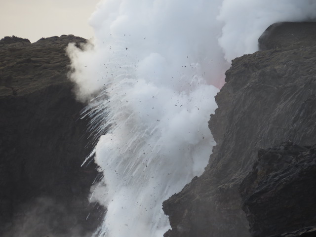
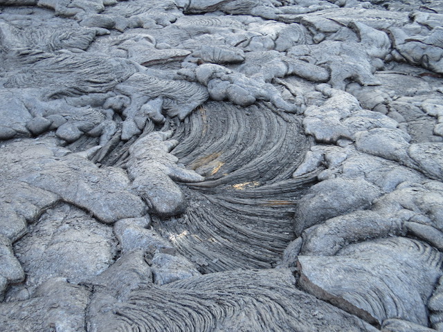
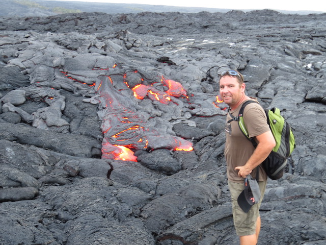
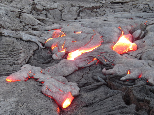
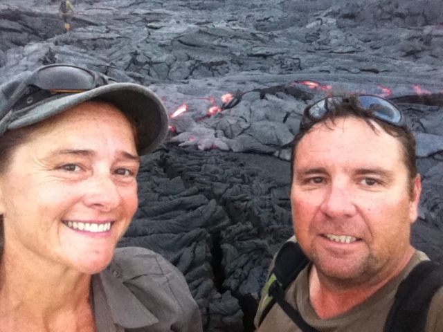
Continuing along a terribly potholed dirt road for what seemed an eternity, we arrived at Salmon Glacier. Just amazing! The patterns within the ice sheet gave it a completely fluid appearance. We could just imagine it ebbing out of the mountains in a matter of hours rather than millennia! The other glaciers we have seen to date paled terribly compared to the vista here!!!
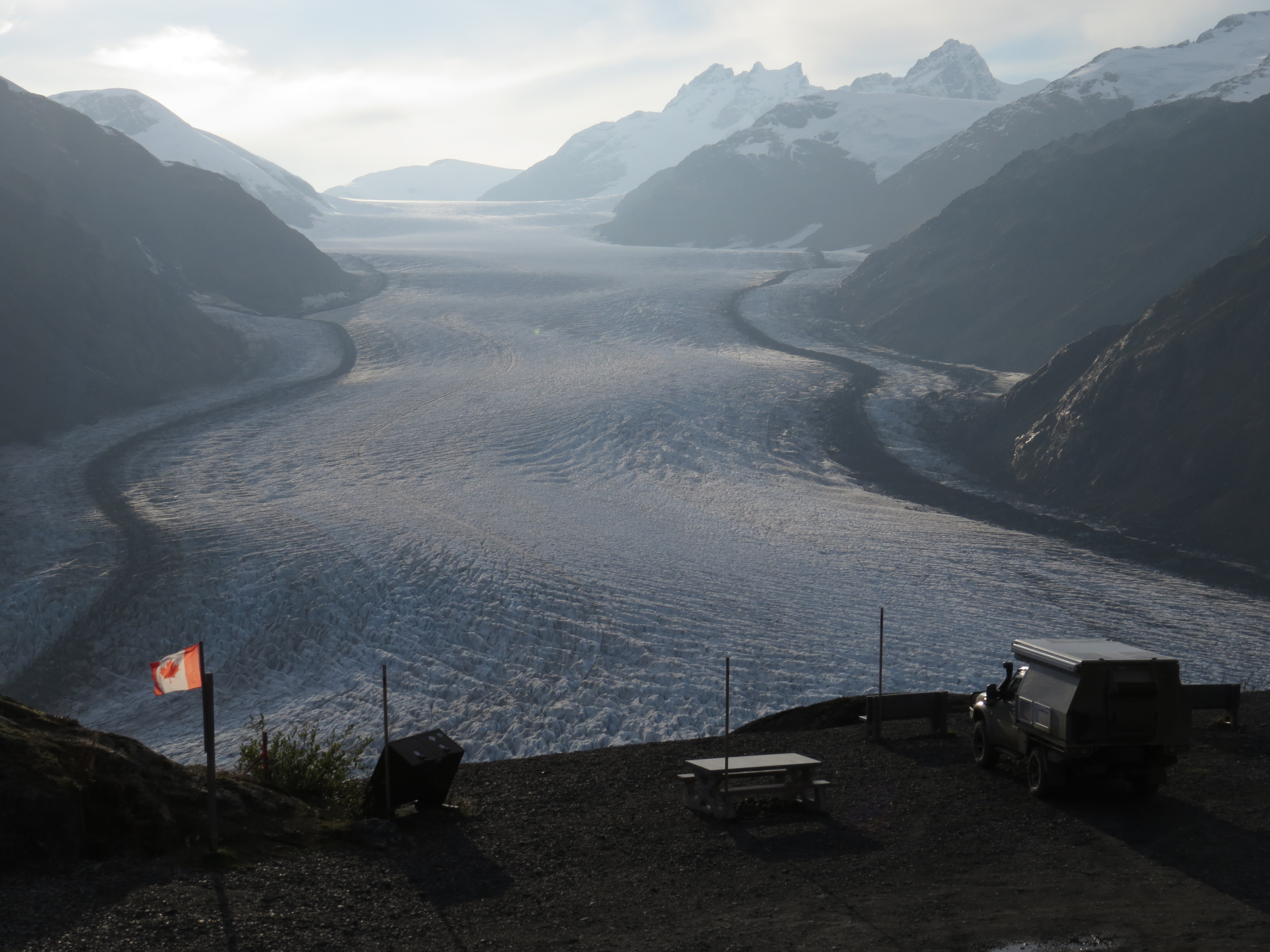
Awesome Salmon Glacier
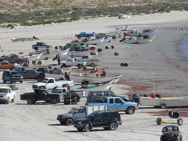
After re-entering Canada at Hyder, we made our way back to the Stewart-Cassiar Hwy, which was a pleasure to travel. Strangely the general store in Stewart had a stash of Vegemite at only a dollar a jar so, naturally, we assisted them in clearing the stock!!!
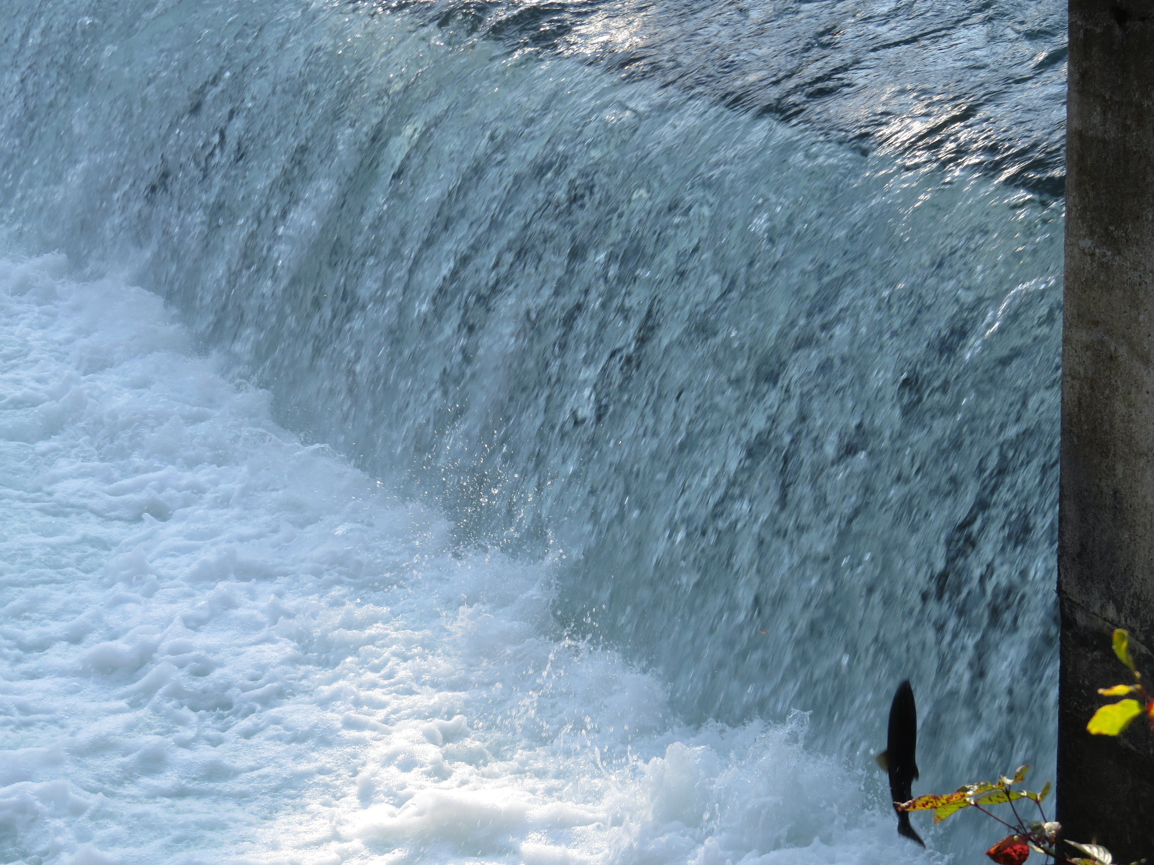
Spot the Suicidal Salmon bottom right
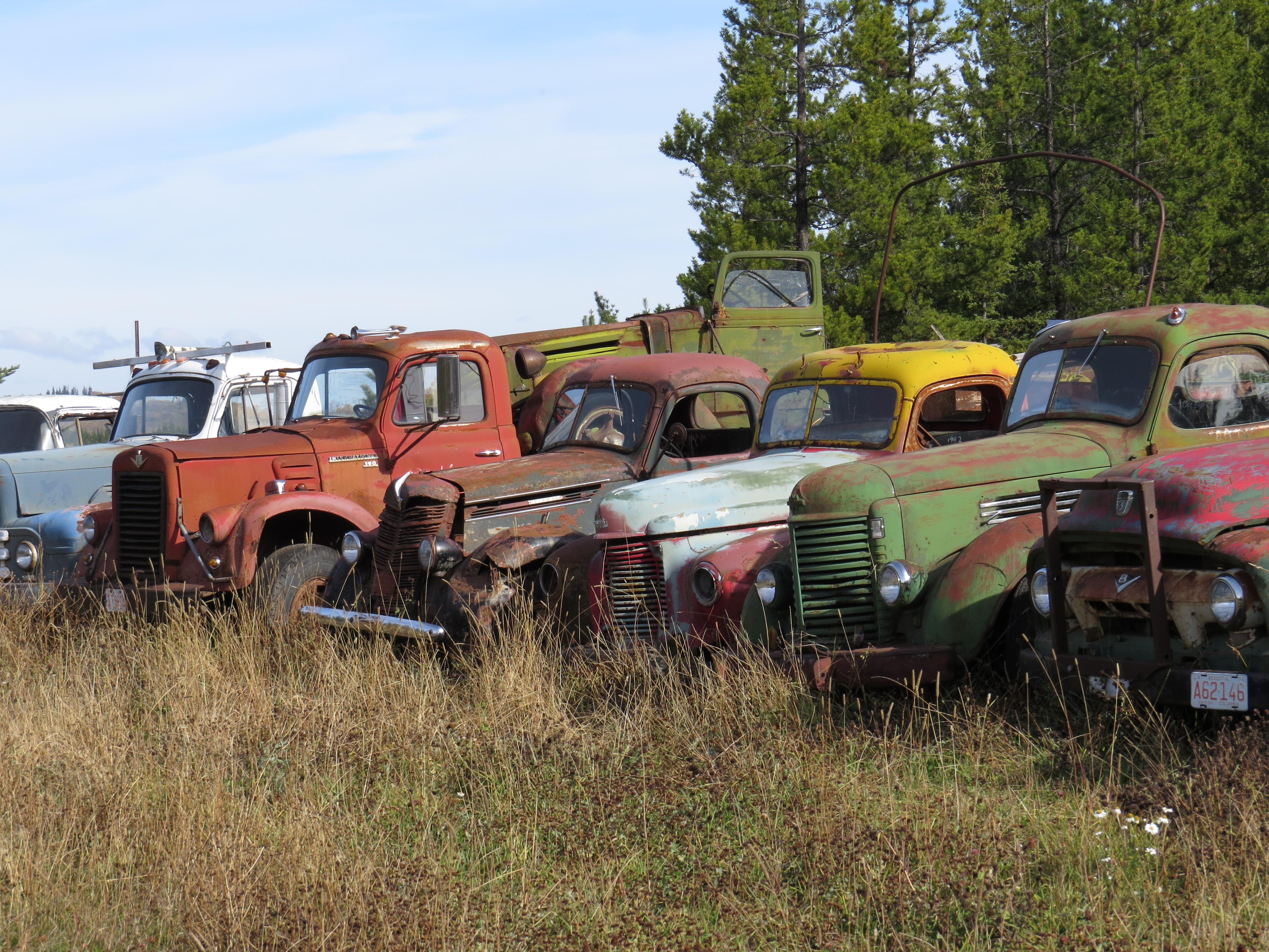
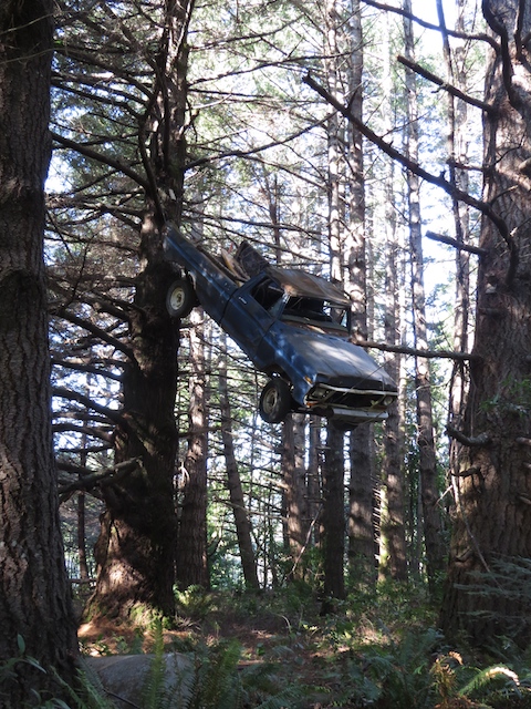
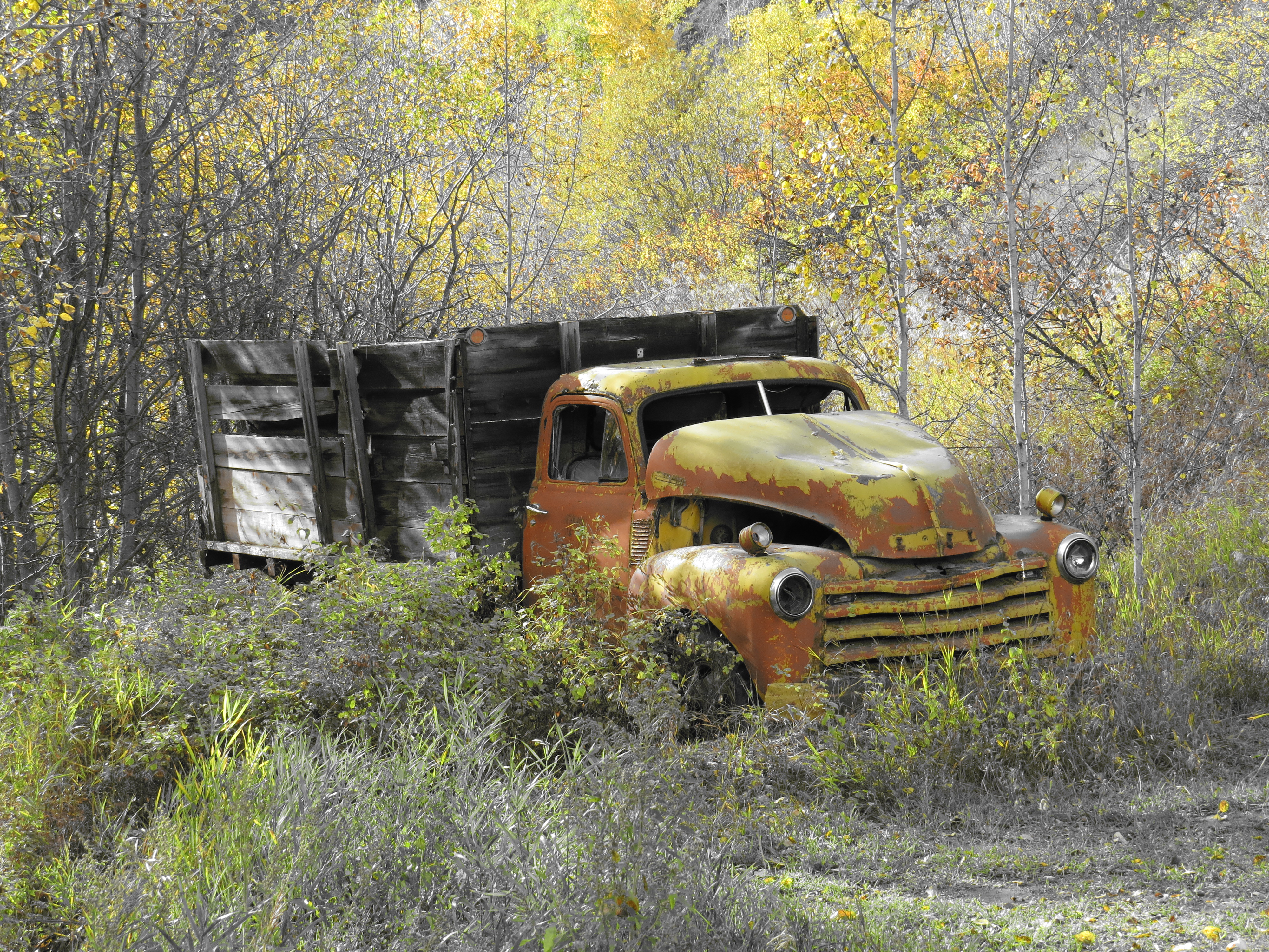
Old truck graveyard
I really don’t know what to say???
Arriving in Clinton enroute to Lillooet we found a great back road in our quest to avoid the highway and see what the country has to offer! Up and over a large range with the all too familiar “stunning scenery” that is becoming a little old hat, (hahaha) before we descended into Lillooet!

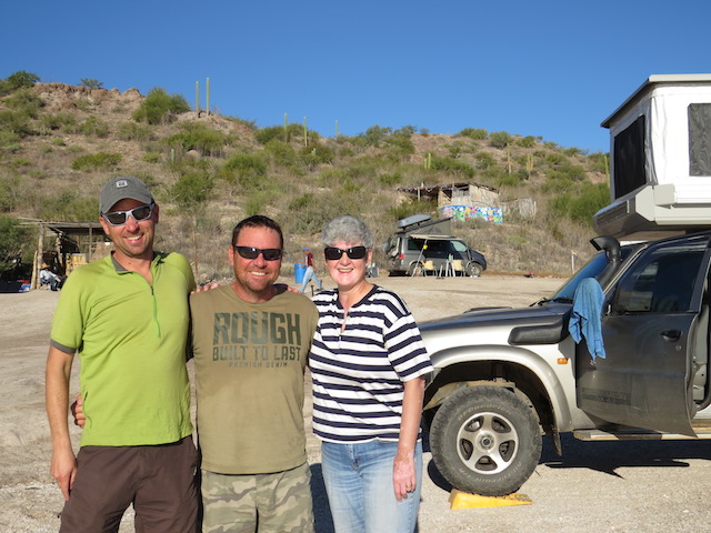
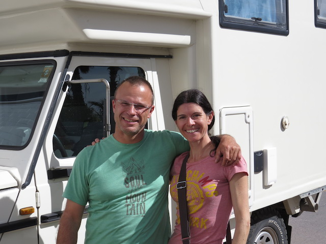
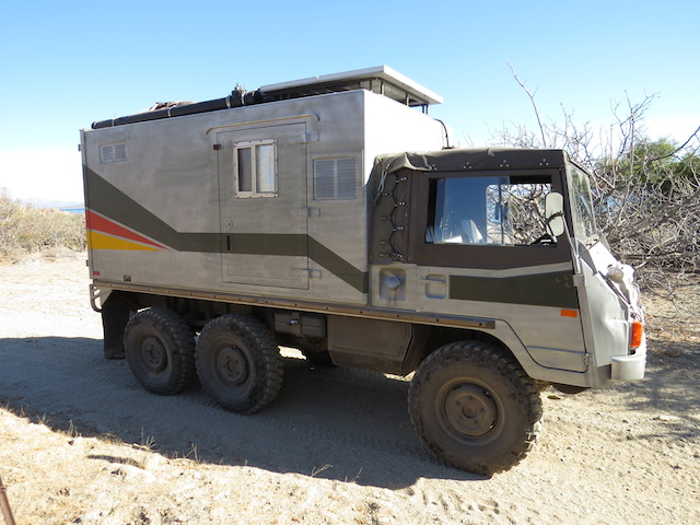
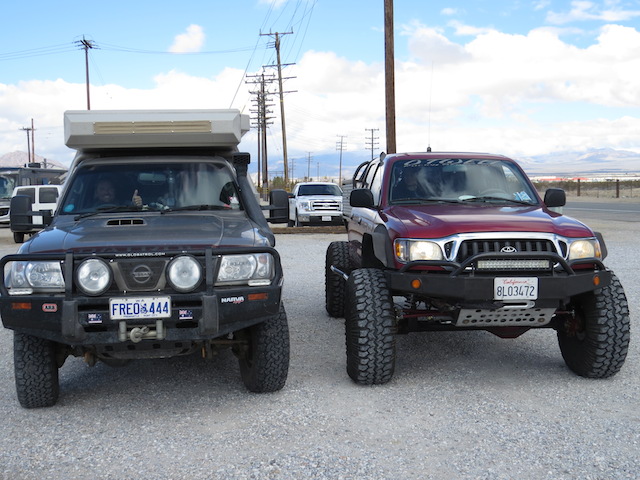
Unimog overland vehicle with owners Stephan and Petra
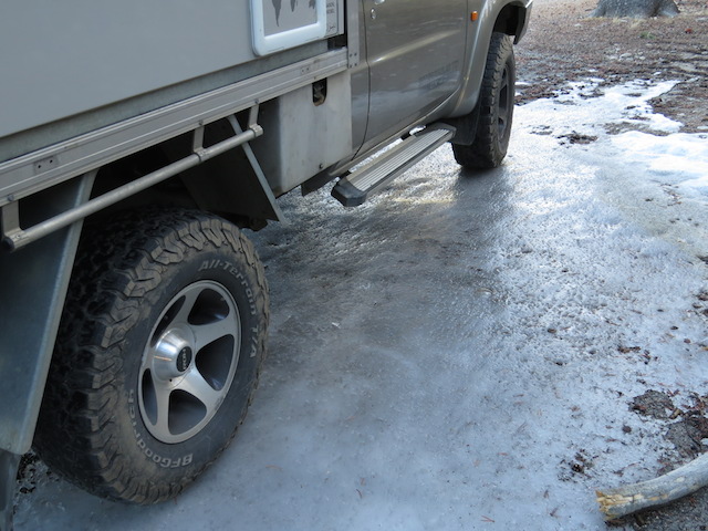
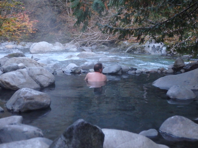
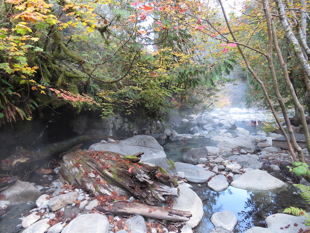
With a deteriorating forecast in the weather we opted to head south, remaining inland a little longer in the hope of avoiding the worst of the expected frontal system. F,rom Chilliwack we turned northwest and made a transit along the Harrison Lake 4WD trail – approx. 160km on reasonable dirt that would take us back up to the town of Pemberton. A highlight of this trail was the Sloquet Hot Springs, run by the local First Nation in the area. It was a great little spot to while away the hours and camp for the night.
Getting colder!!
The whole experience was very relaxing, made even more so by the fact that we had this little paradise to ourselves for the most part. These springs are described as “rustic” meaning they have been left primarily in their natural state and not enhanced for tourism so of course that appealed to us tremendously!!
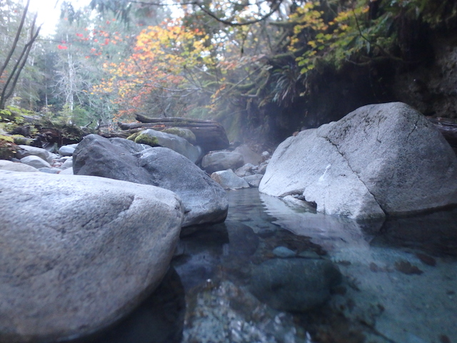
Sloquet Hot Springs
The freezing river beyond
The lack of human modification only added to the therapeutic effect of the site as we sat in 38°C natural rock pools whilst a near freezing river flowed only metres away!!
Sloquet Hot Springs
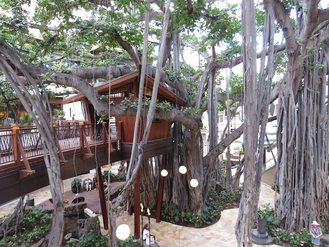
Back on the blacktop, we wandered down toward famous Whistler. Staffed by more Australians than locals, it is a quintessential mountain ski resort town with an affluent vista of log cabins, hotels and ski lifts!
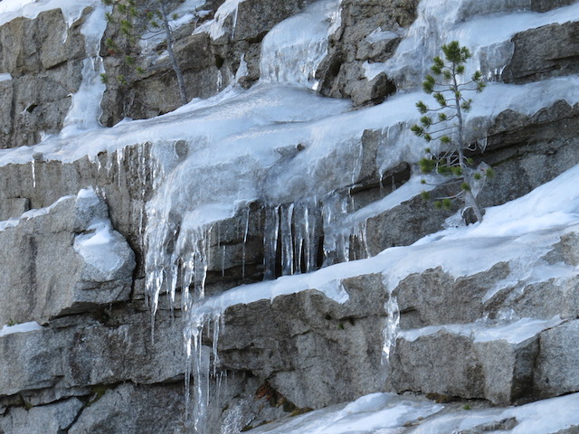
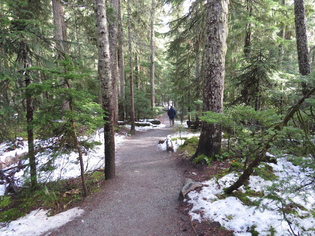
Deciding a course of travel after Whistler, we found we were still in the presence of the rough weather that had been forecast around the Vancouver areas and so took the decision to head back North East to Lillooet! Once again the topography and scenery was absolutely stunning and made the diversion feel more like a must see than a detour. High Mountain passes shrouded in snow; sheer rock faces bordering the Hwy in places and just a generally spectacular transit.
Bit of snow about at altitude
A couple of weeks earlier we’d taken the decision to apply for a spot of housesitting and now had a rare fixed date to work toward – something that tends to really throw our planning into disarray. In our opinion, this sort of travel does not bode well for a fixed schedule and we seem to have less and less of a plan as we continue! We follow the impulse of the day and would battle to know where we would be in a week never mind in a month!
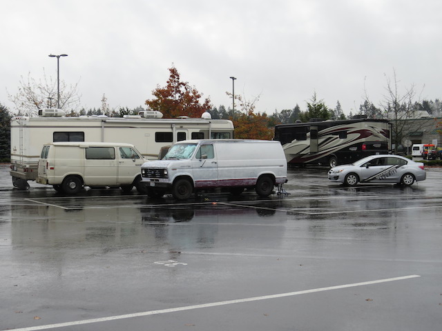
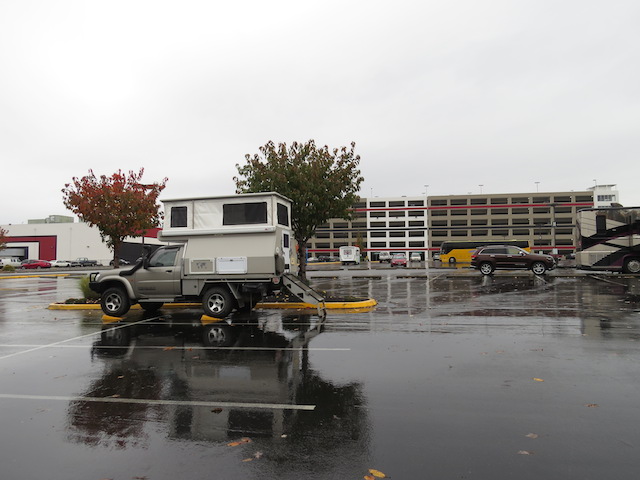
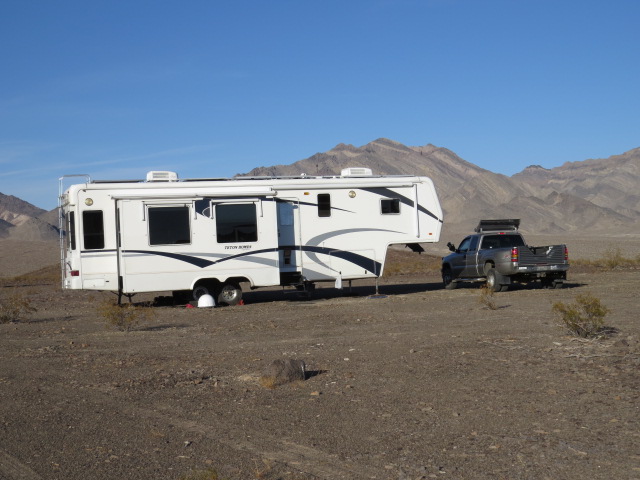
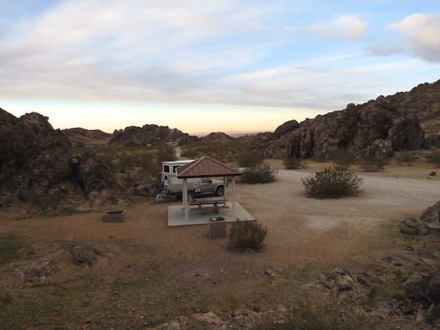
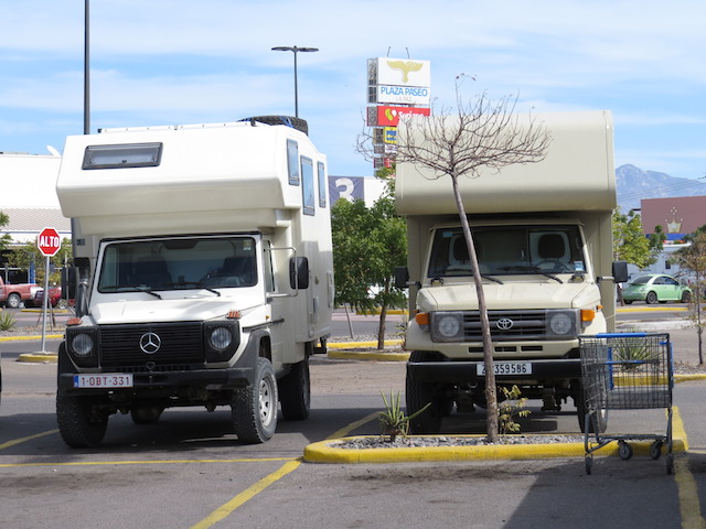
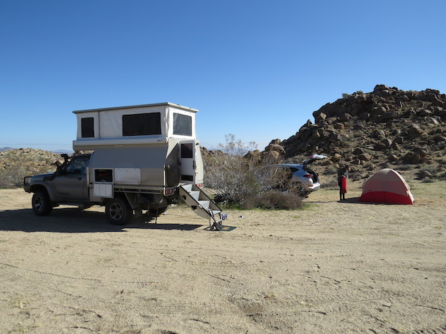
We’d been given the opportunity to house sit a wonderful home just outside the town of Chilliwack, which lies about 100km east of Vancouver. With our arrival date set, we wanted to camp close by prior to our start date, so for the first time in our North American travels we ended up camping in a Walmart carpark!
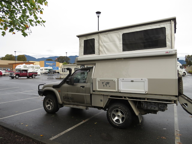
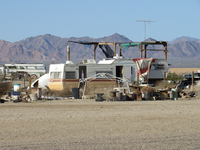
Walmart Camping?
Nearly all of these superstores allow you to camp in your RV in the parking lot (along with most Casinos for that matter). I’ve even read other travellers blogs whom have almost solely used these carparks for their journeys across this large land! I must admit with the amount of free and amazing camping available all over the place, why you’d choose Walmart everynight is beyond me!
Paul and Anne Marie were off to Hawaii for a couple of weeks of sunshine and diving, leaving us to keep an eye on the house and their 2 lovely cats! Being 4×4 enthusiasts themselves, we had a lot in common and many destination tips to share!
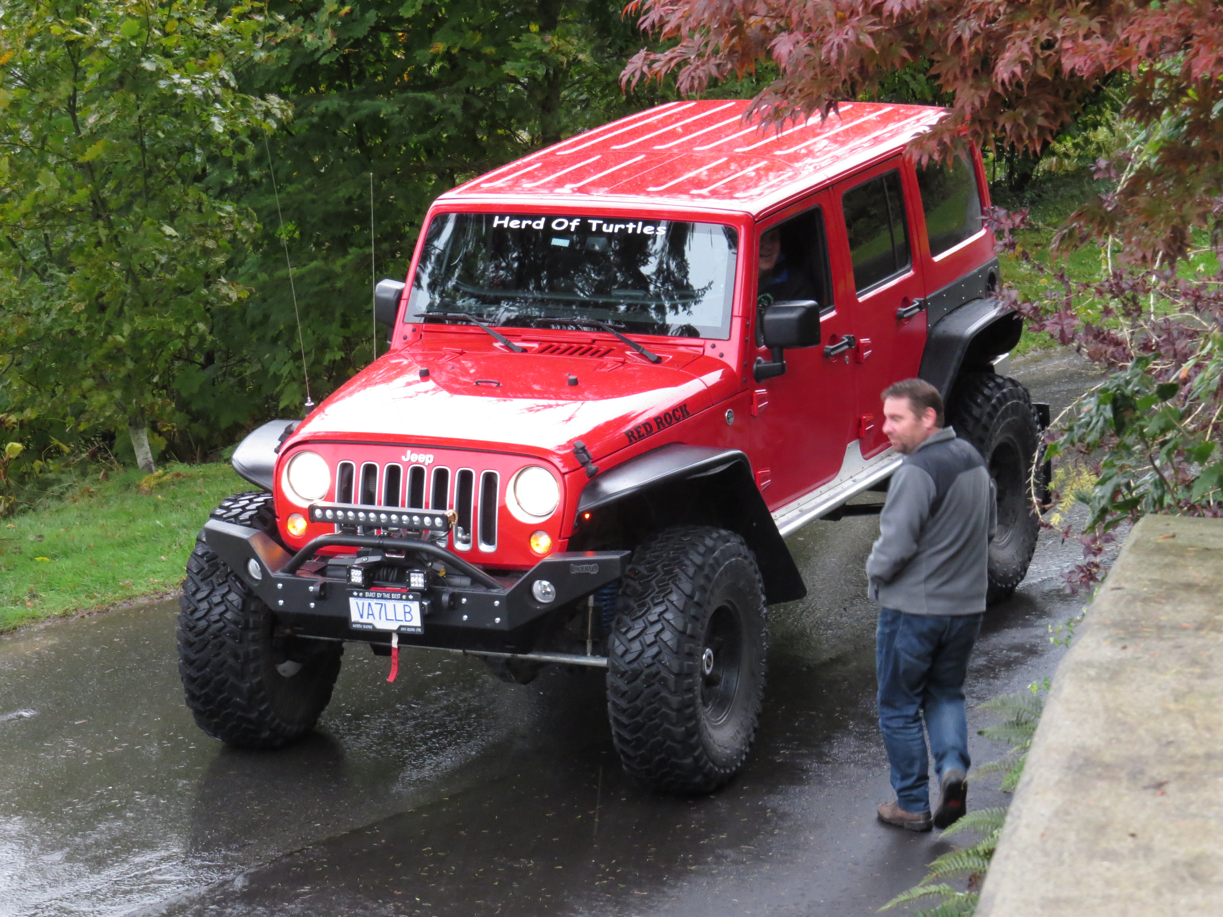
The awesome rock crawler
Chilliwack provided us with the perfect opportunity for a little relaxation and undercover parking for the Patrol not to mention the perfect opportunity to get some mail forwarded!!
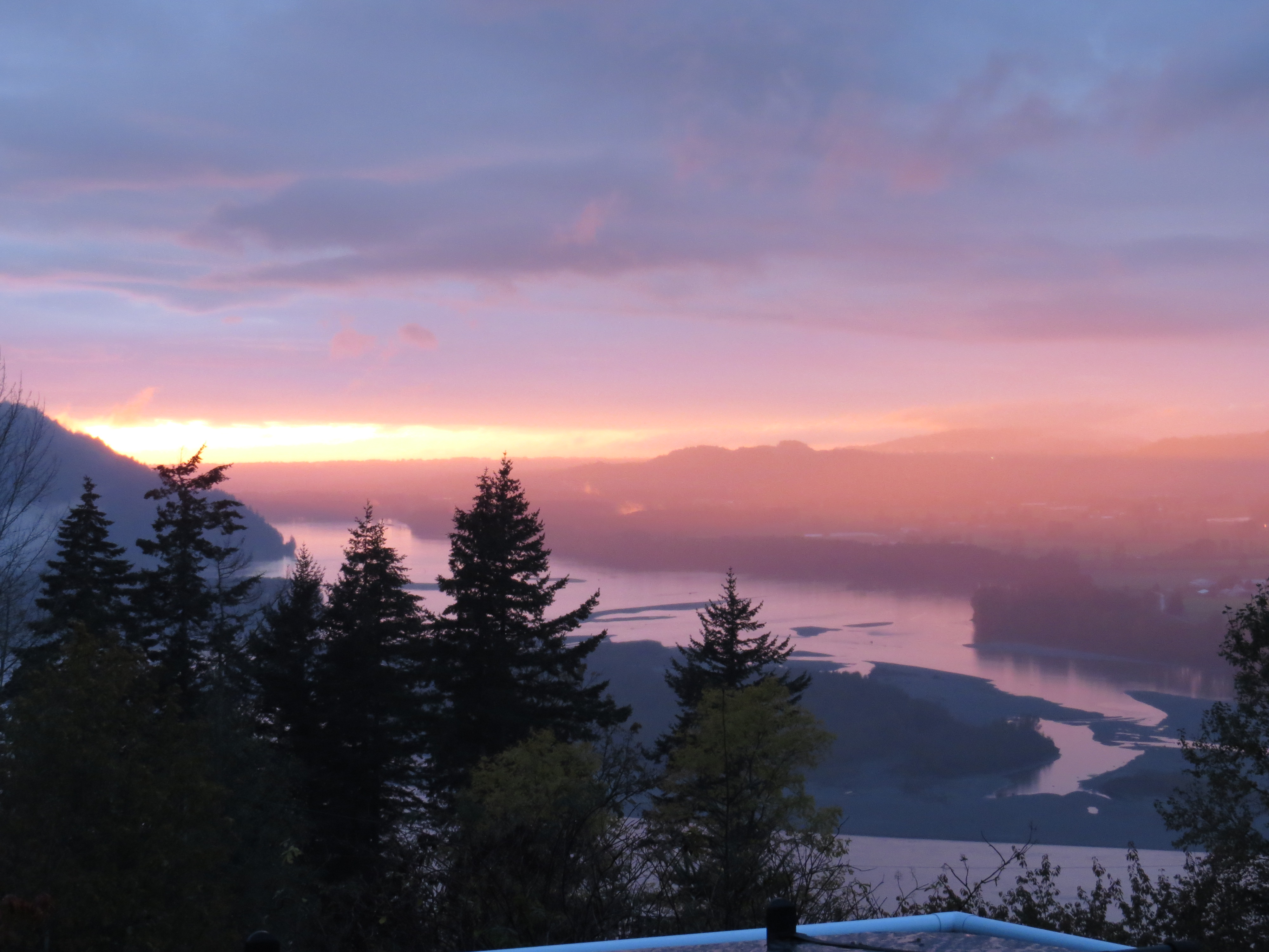
View from the house sit
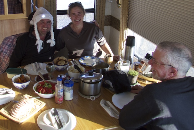
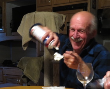
My Birthday happened to fall during our stay! A knock on the front door and we received a pizza delivery that we hadn’t ordered, a Birthday surprise from Erik and Mieke in the Netherlands! Thanks for thinking of me guys and I really appreciated paying for my surprise as well – Haha! It’s the thought that counts isn’t it!

Happy Birthday!! Thanks Erik
Erik had attempted to pay on line but without success, well that’s what he latter told me with a big smile on his face!
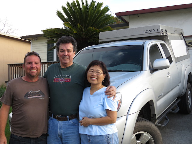
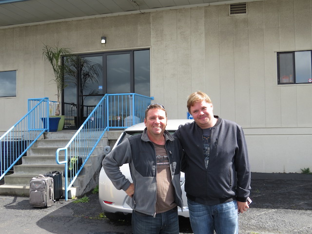
As luck would have it, David and Alison, whom had looked after us way back in Calgary, just happened to be visiting Vancouver! Perfect timing for us so off to the city for a day of sightseeing and a catch-up.
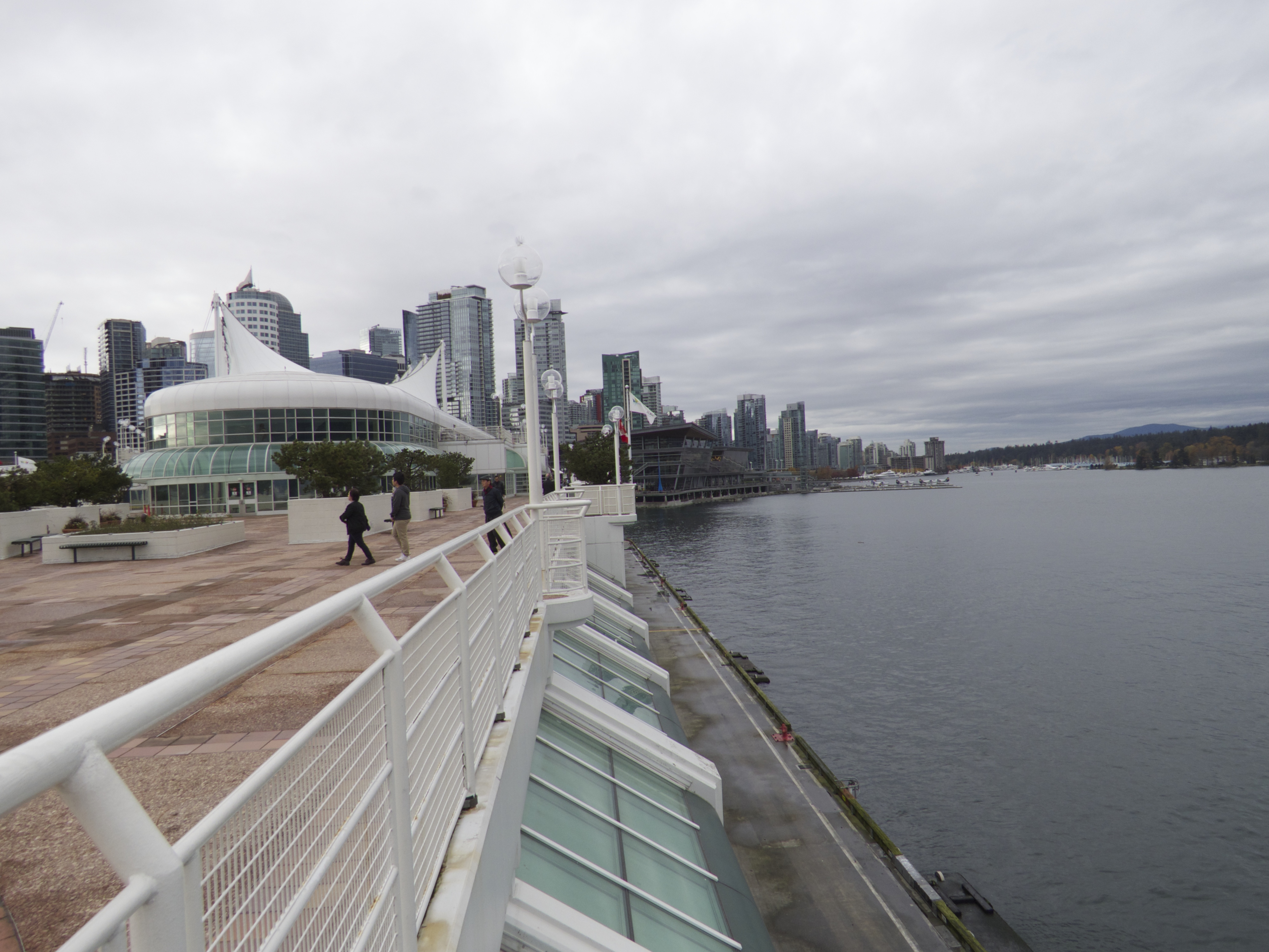
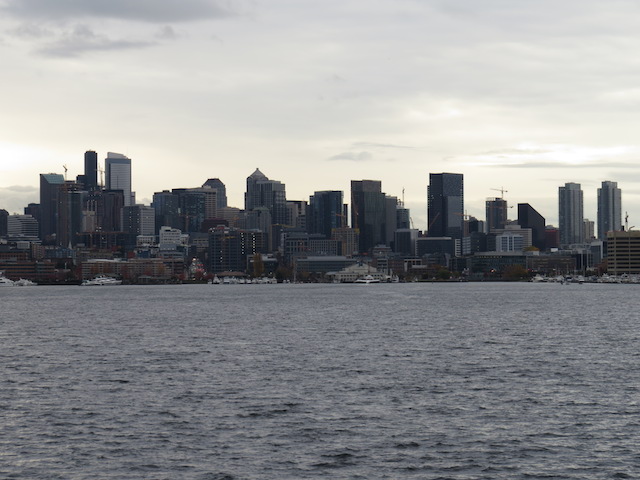
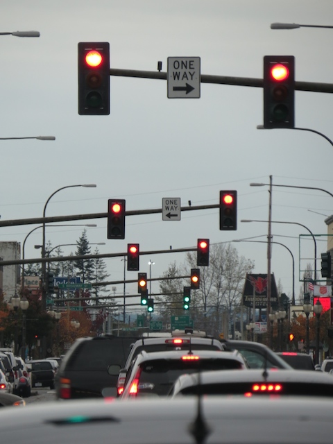
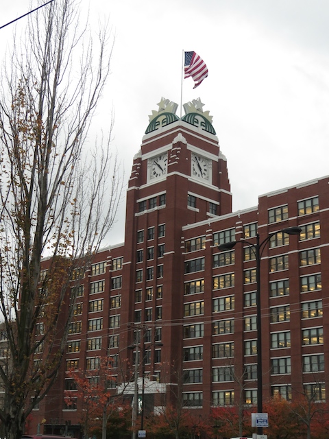
Vancouver Waterfront

Floating Houses Vancouver
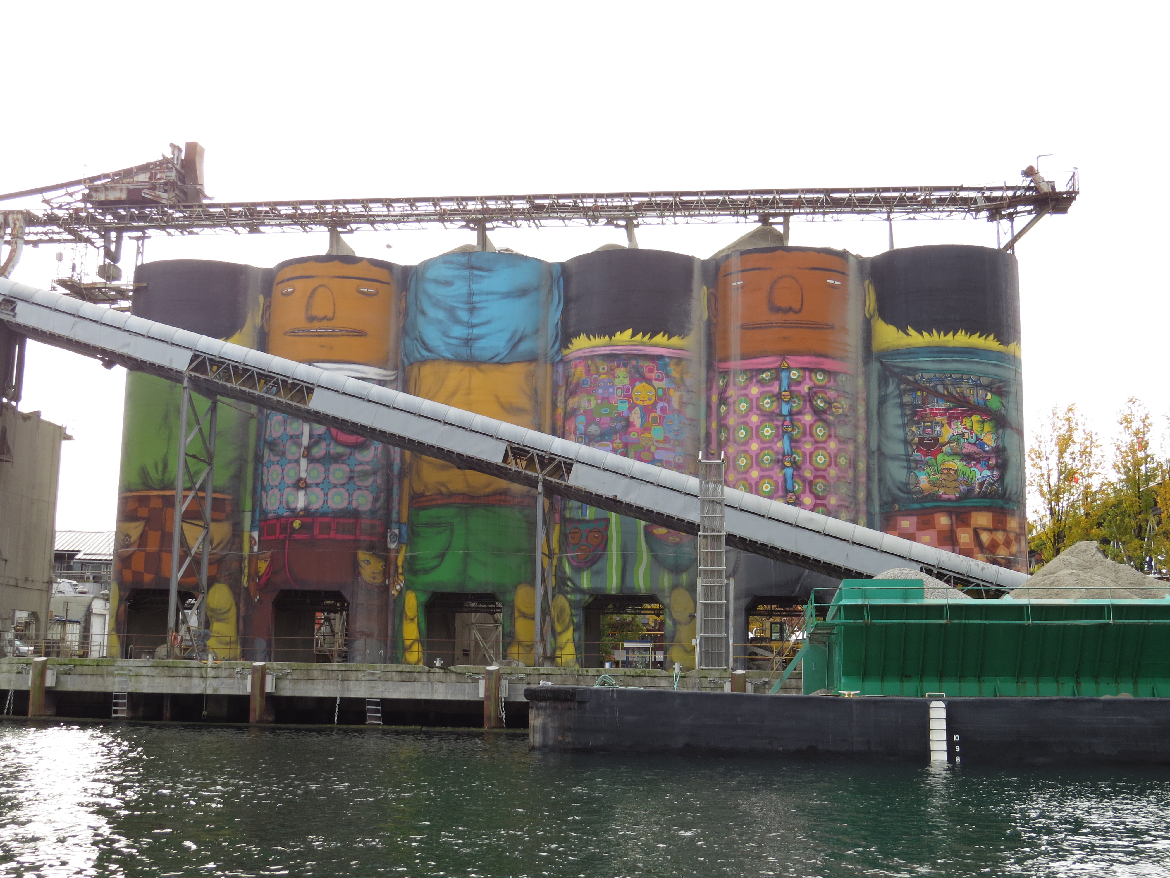
Great silo art

Lunch on the pier

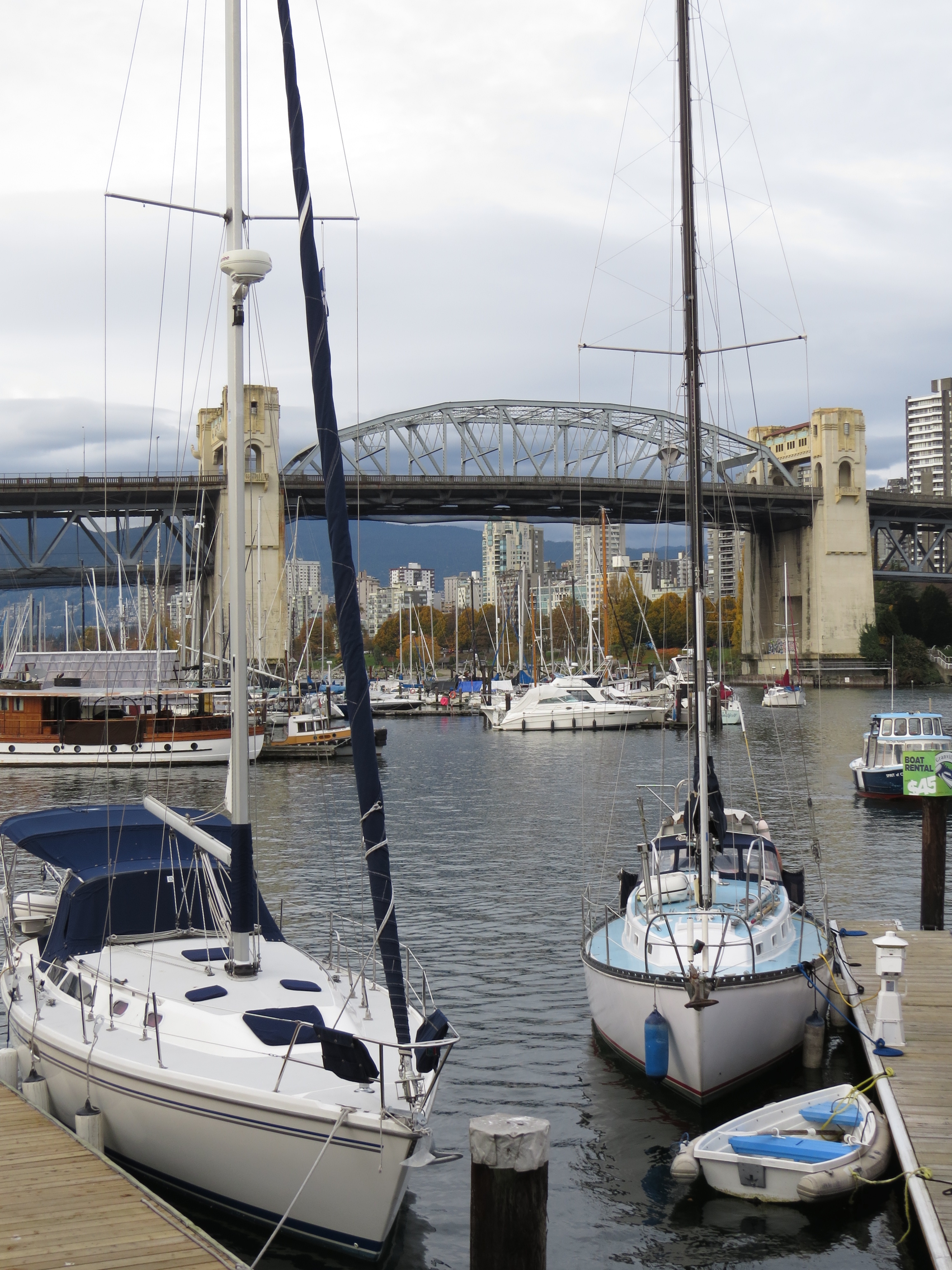
Markets on Granville Island
Vancouver
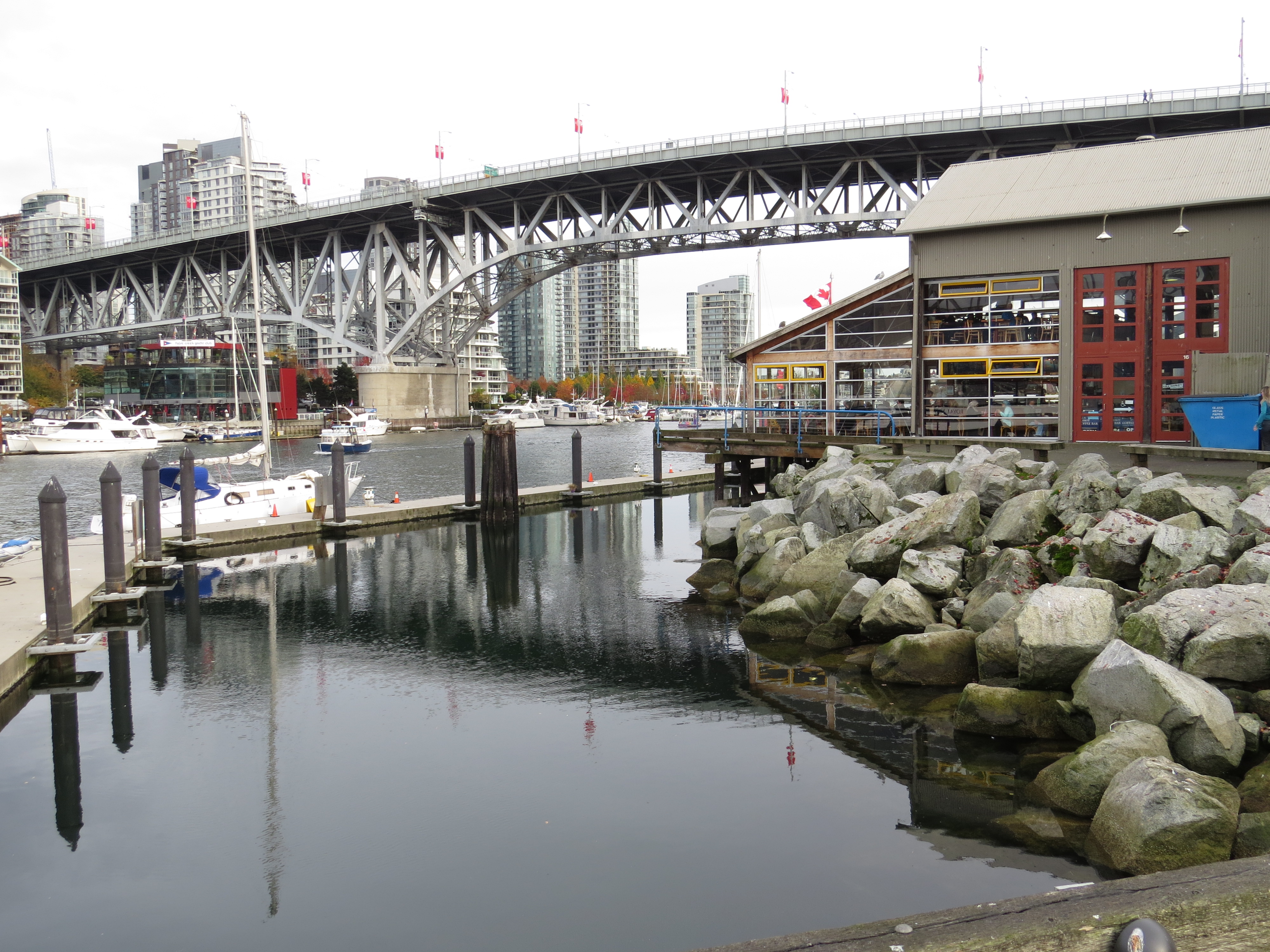
Granville Island Vancouver
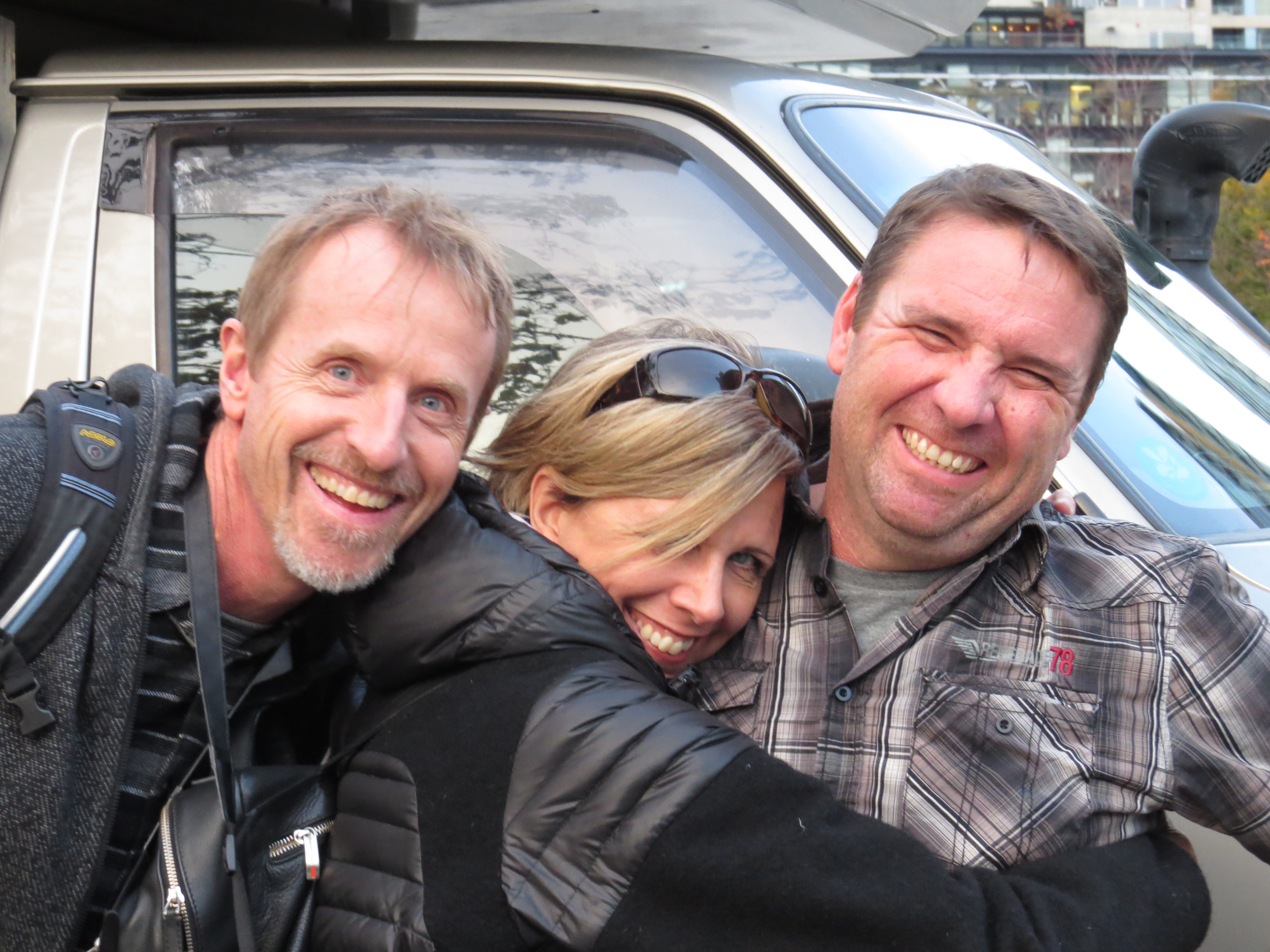
The Awesome David and Alison
Always nice when locals can show you the sights!
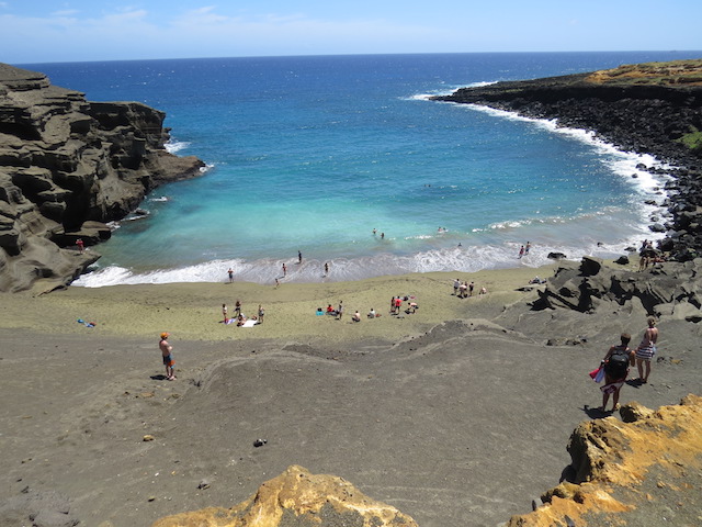
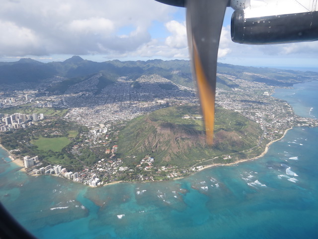
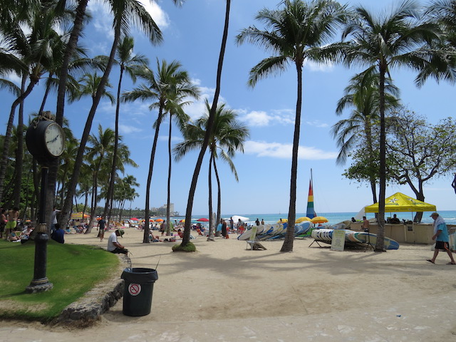
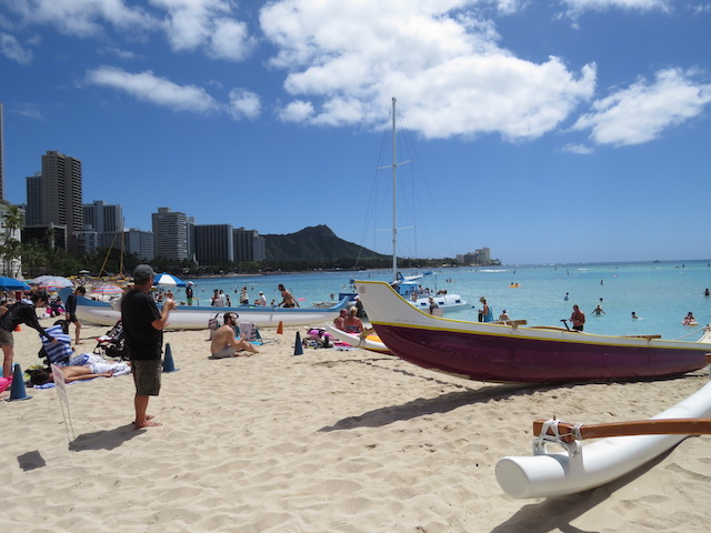
All too quickly, our 2 weeks were at an end. Stories of Hawaiian sunshine and crystal clear waters had us ready to head south rapidly!
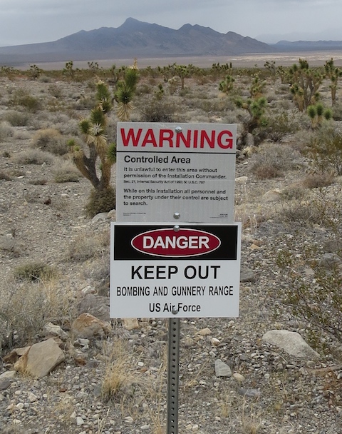
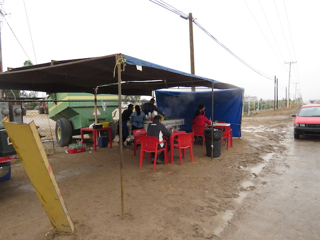
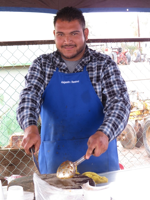
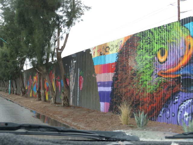
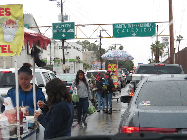
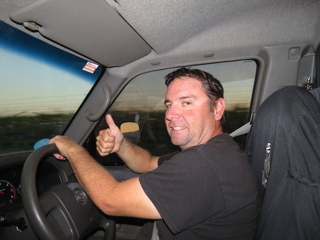
That makes the whole transition back into the US sound a lot more efficient and far more pleasant than the detestable, rude, arrogant and downright insulting experience that it actually was and for that matter appears to be consistently for Overland Travellers with plans requiring multiple entries!
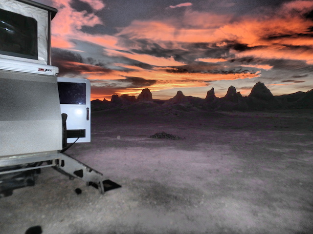
Always nice finishing a post on a high!
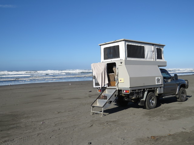
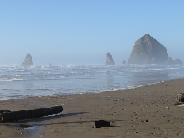
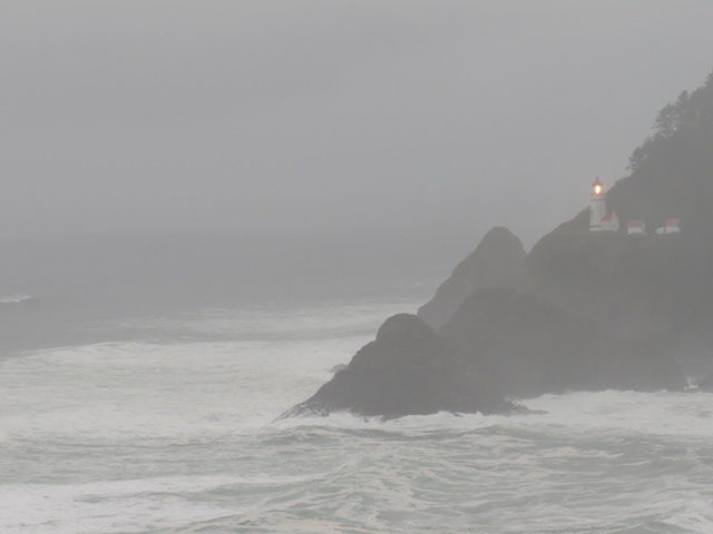
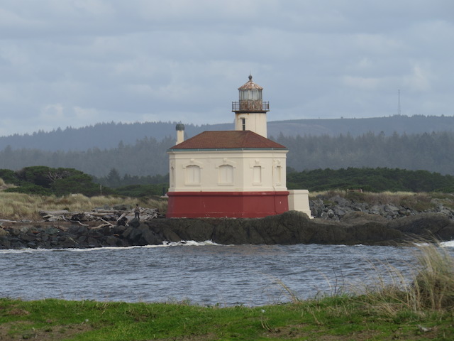
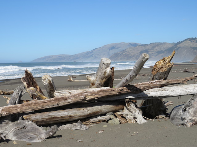
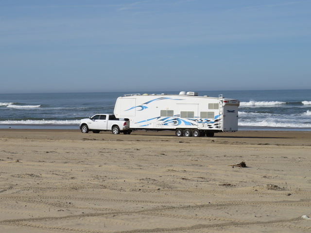
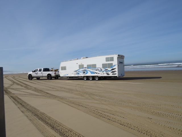
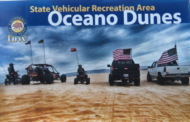
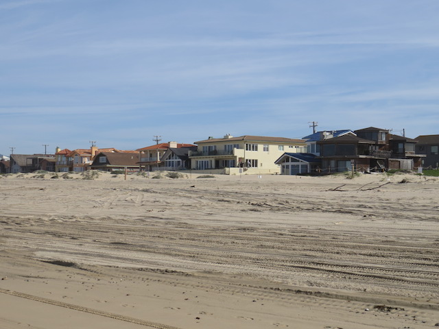
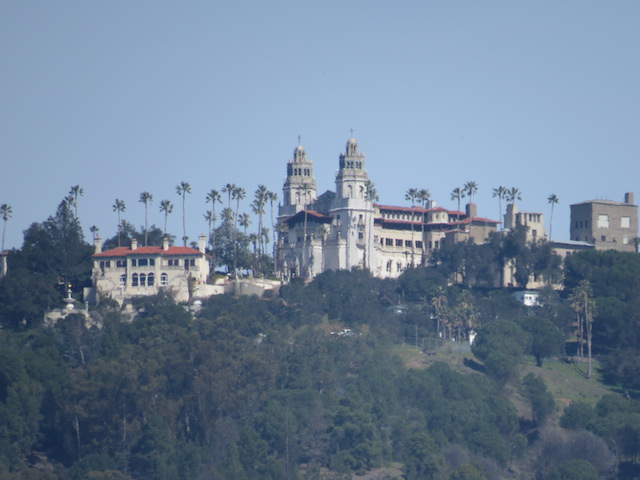
Time to head for the Oregon coast and see what the Pacific US States have to offer!
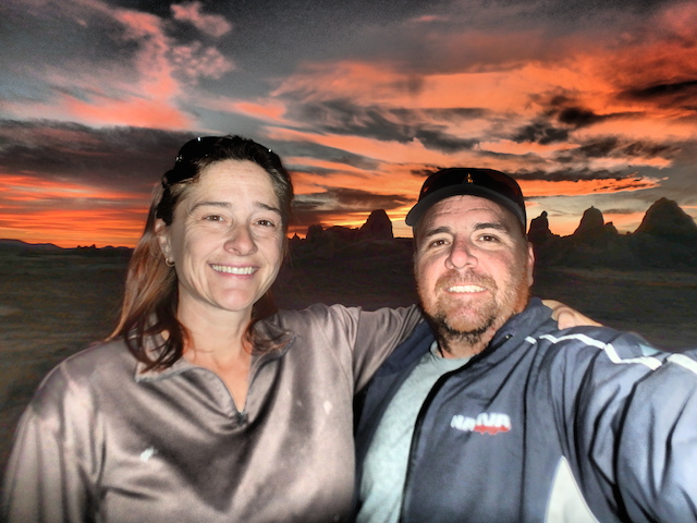
Cheers Justin