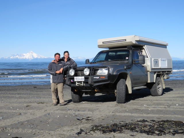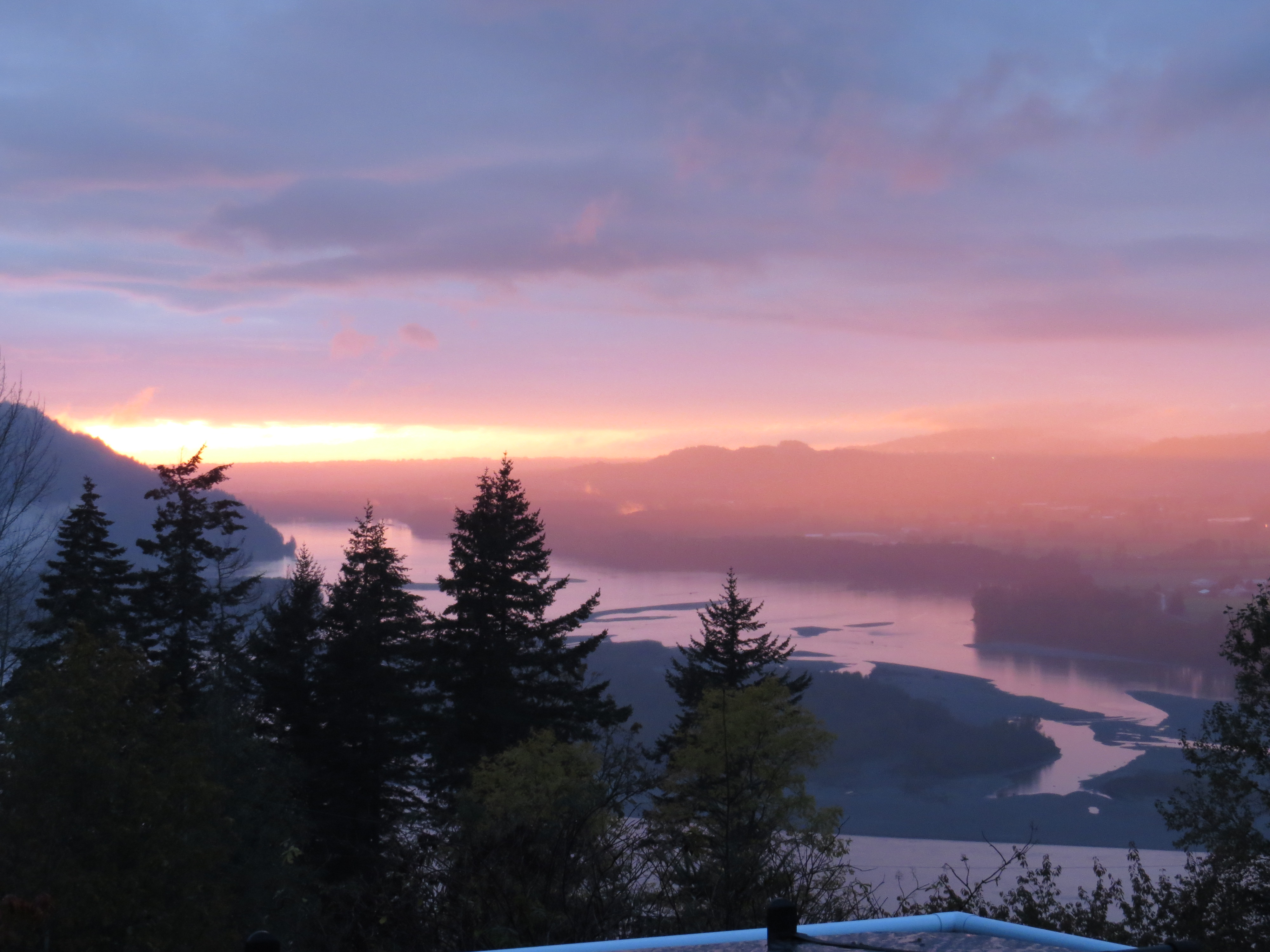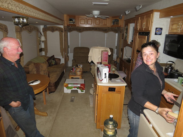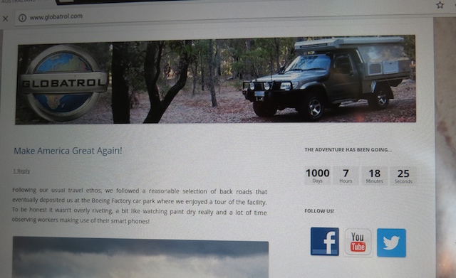
A couple of coffees, a six pack or a bottle of red! This is a long one! I’m blaming it on a lack of sufficient internet…
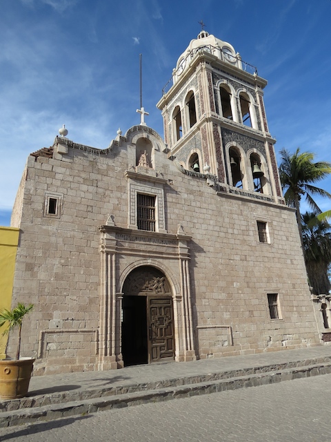
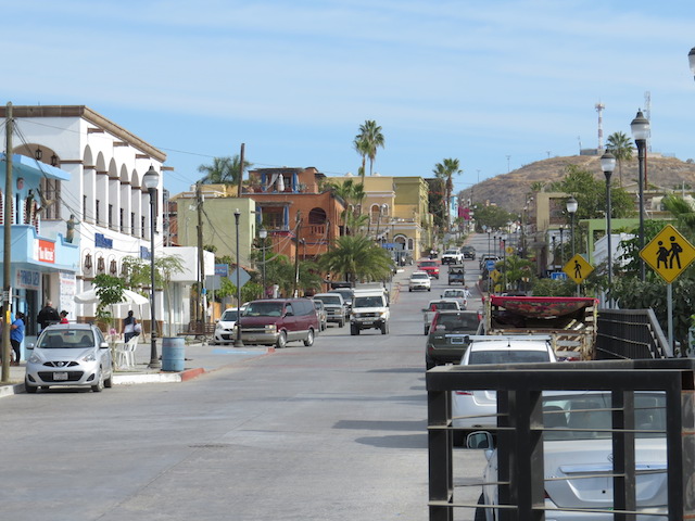
Moab! Favoured destination of the rock crawling 4×4 community along with every other type of powered ATV you can imagine! But this town doesn’t rely on the off road fraternity alone, it’s also the gateway to any and all adventure sports – kayaking and rafting, rock climbing and hiking – it’s all there.
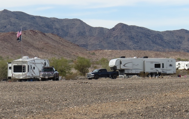
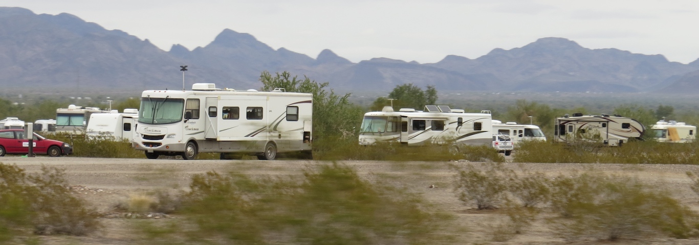
RV parks on acres of land announce you’re arrival in this centre of outdoor adventure! Loaded with fifth wheel campers neatly parked in rows like a freshly planted crop, their associated trailer loads of toys and shiny heavily modified rock crawling jeeps released from their tow vehicles and ready for action, it really is a sight to see!
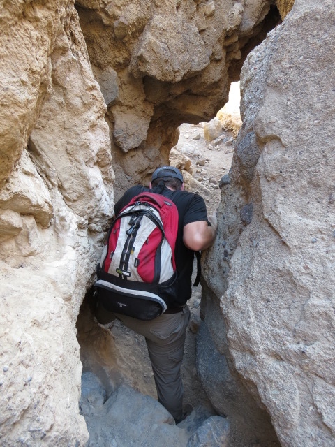
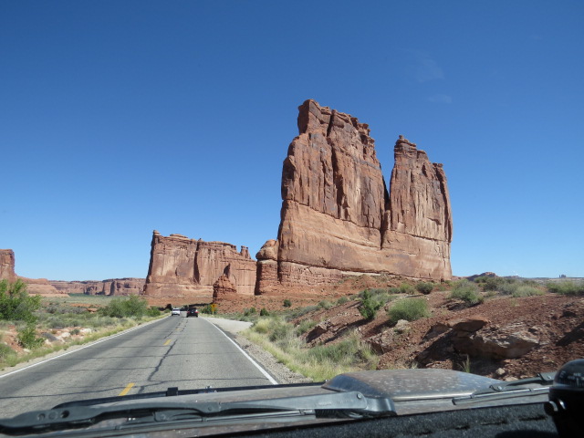
This interesting town is rooted amongst red sandstone of all shapes and sizes and has its own appeal but adding to the impressive location is Canyonlands and Arches National Parks located just outside the township.
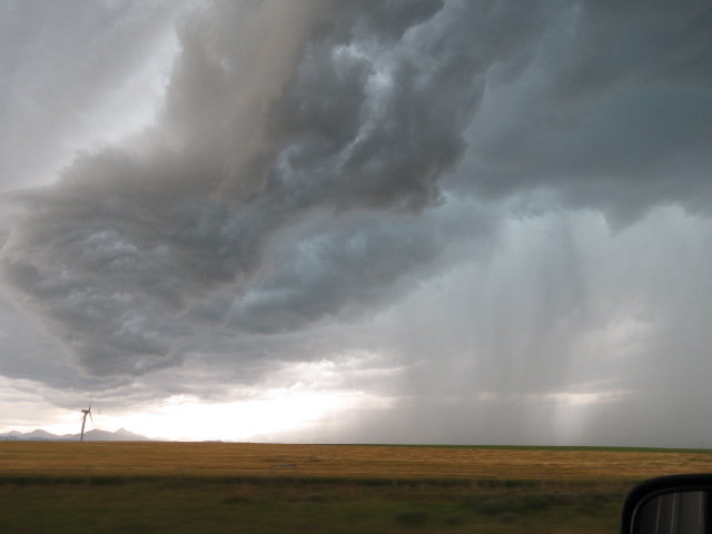
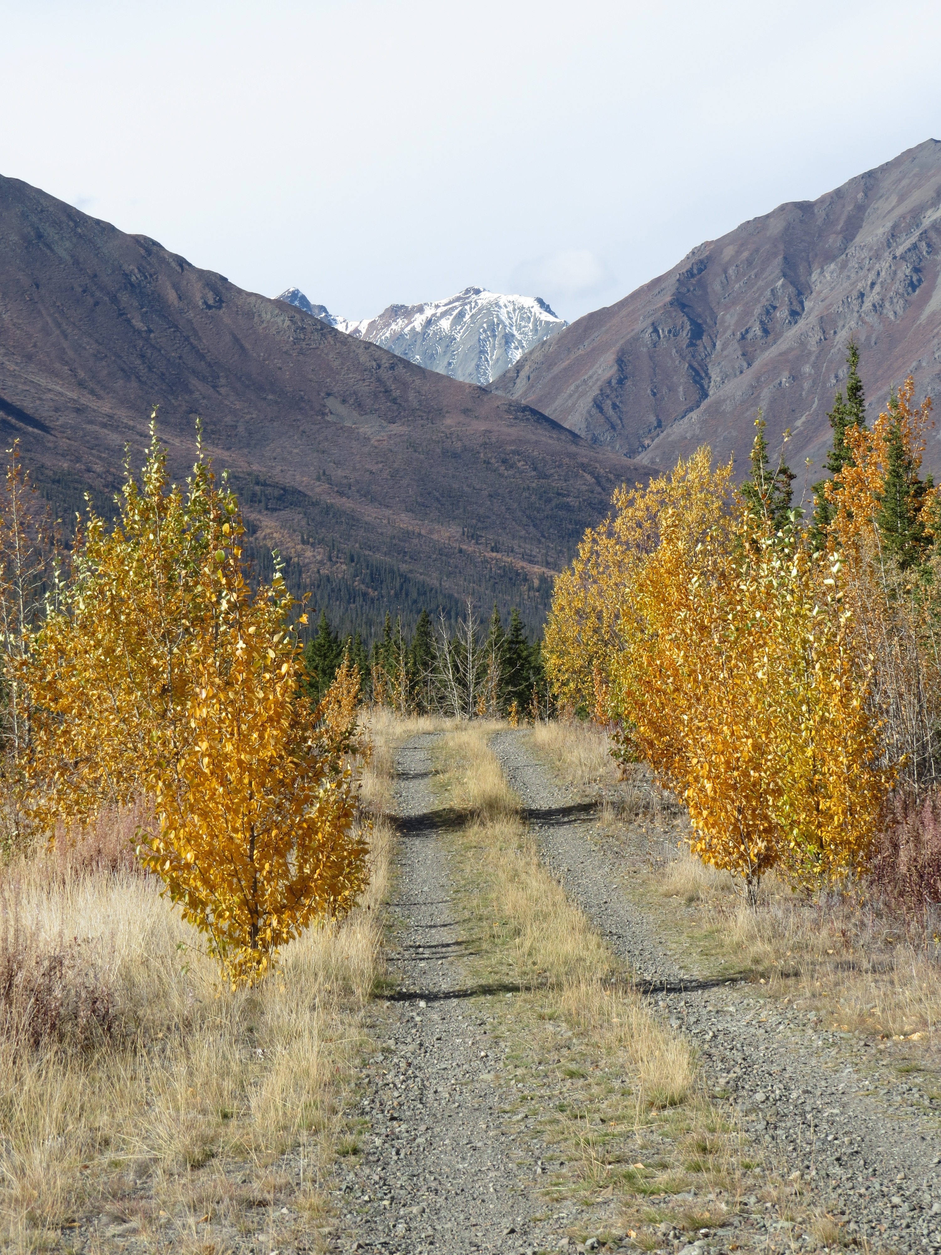
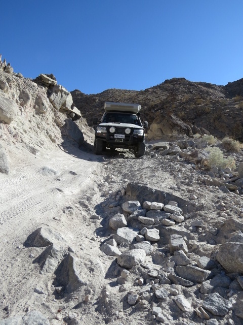
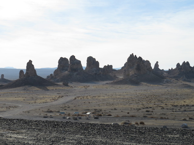
A little research at the National Park office produced the news that the White Rim Trail was washed out part way along its 160km loop! Regarded as one of the best 4×4 loops in Canyonlands National Park, it requires a few days to transit, a permit and campsite bookings. We were all geared up and ready to get underway but the heavy rains and rising creeks had taken their toll on the track. Whilst disappointed at the time, with the benefit of hindsight and after having wandered all over southern Utah, I’d have to say that you really can’t go wrong. All of the 4×4 trails provide superb scenery and camping! Now I have the very valid reason that I may need to justify a second visit to this off-road paradise.

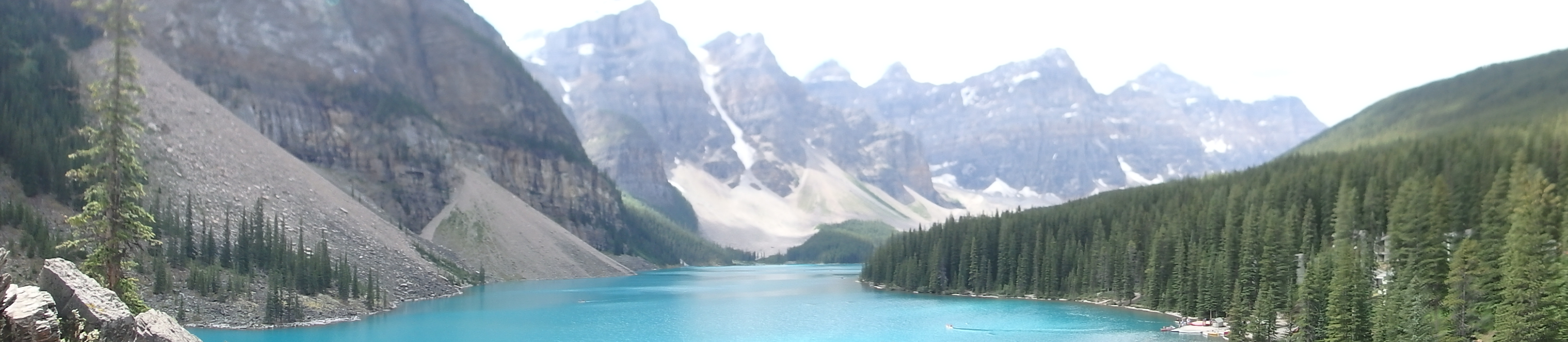
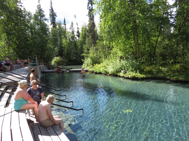
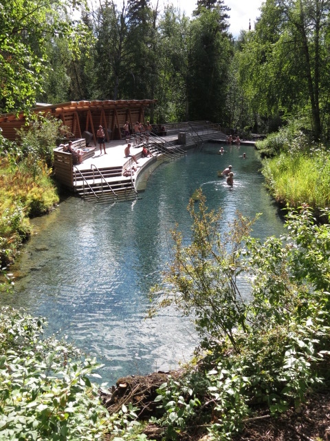
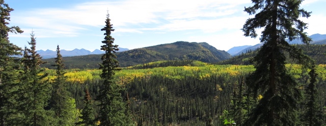
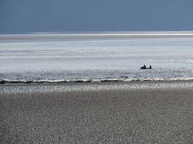
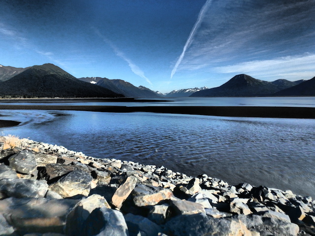
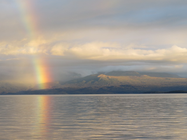
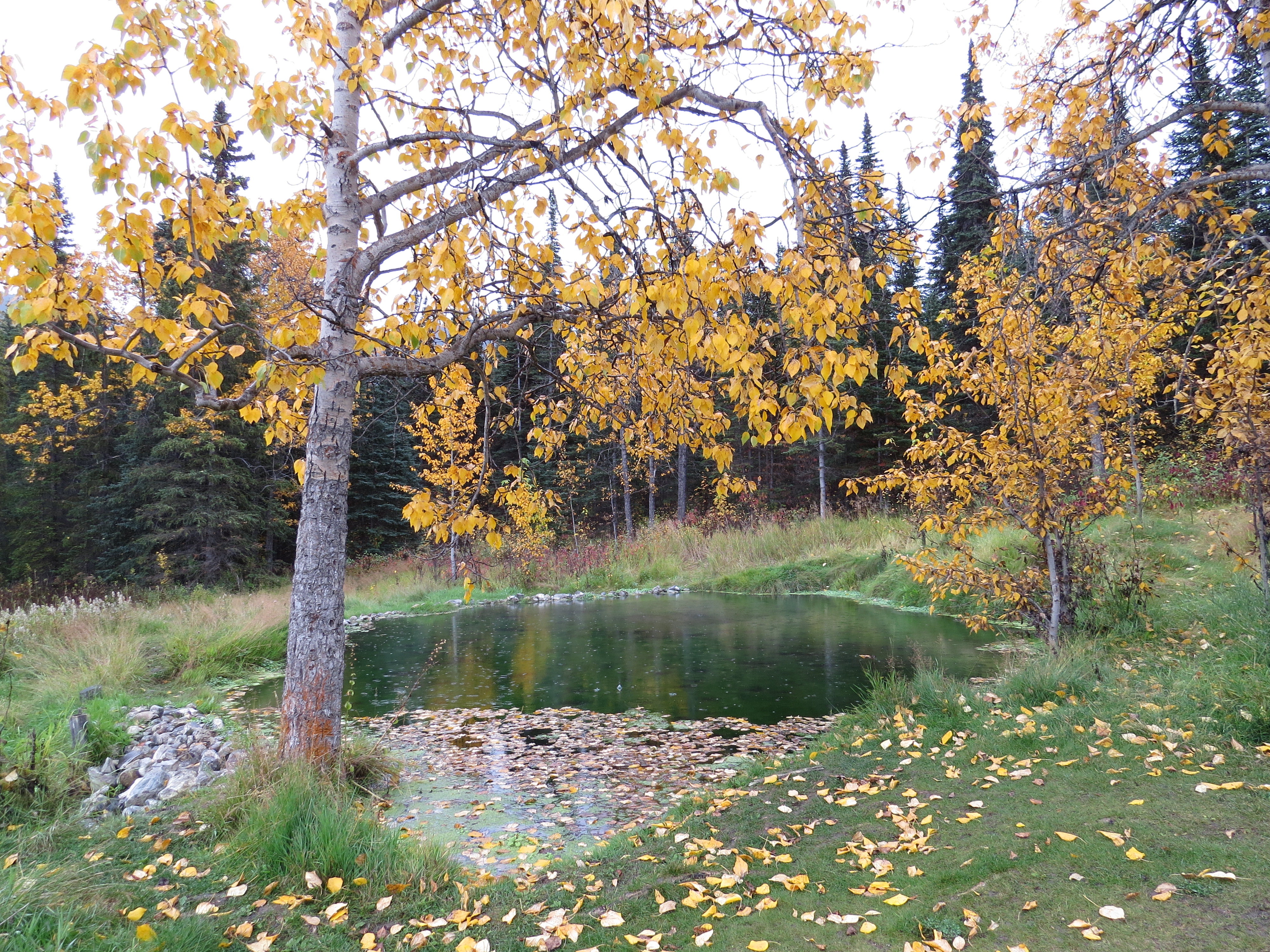
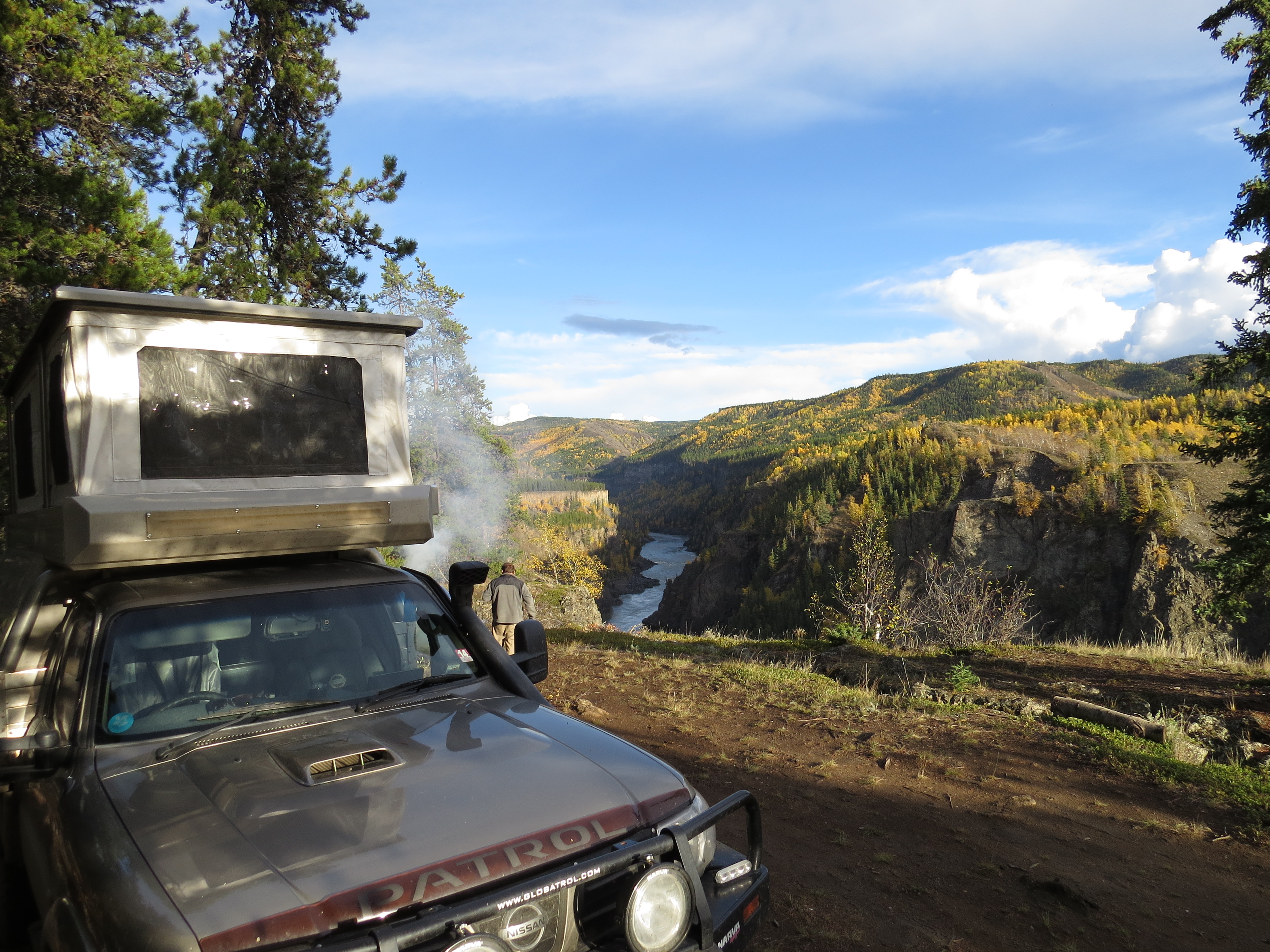
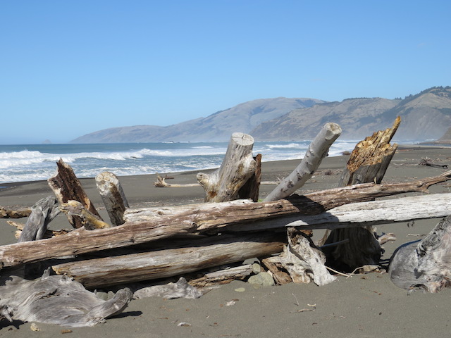
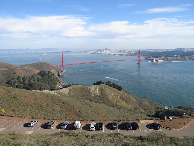
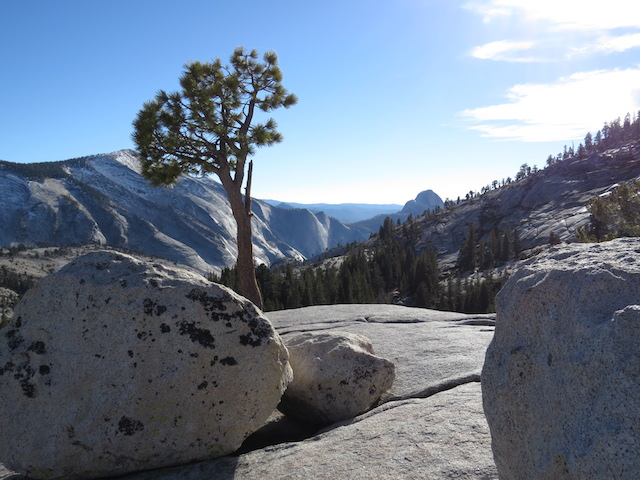
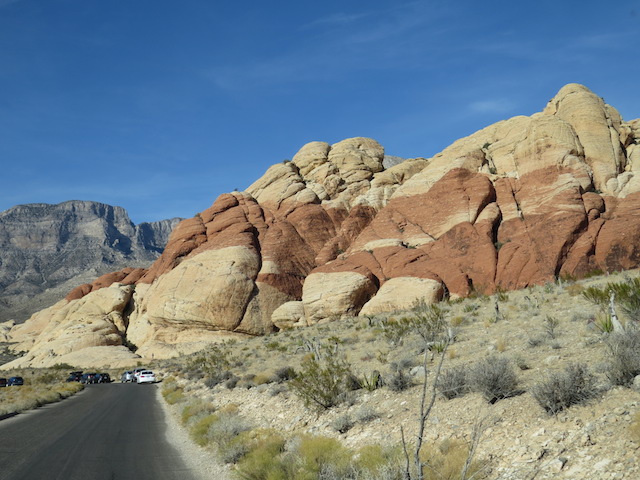
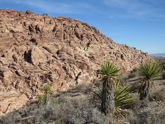
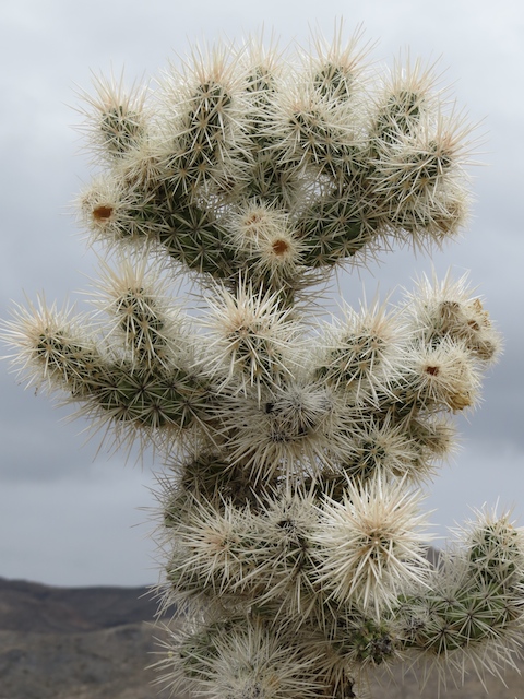
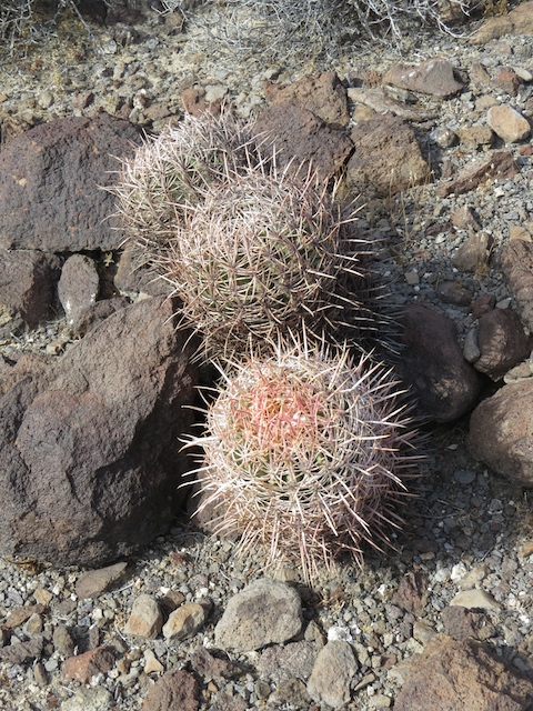
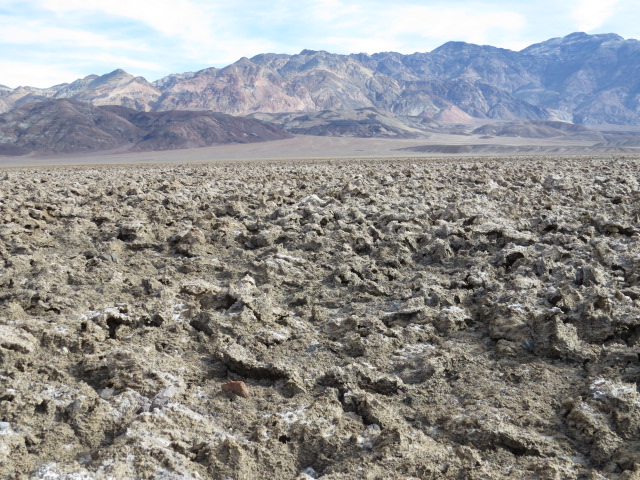
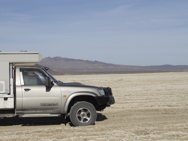
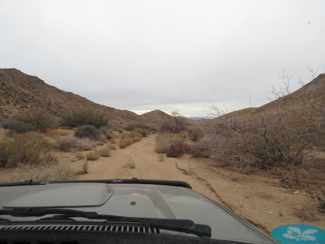
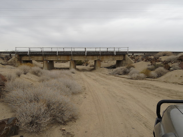
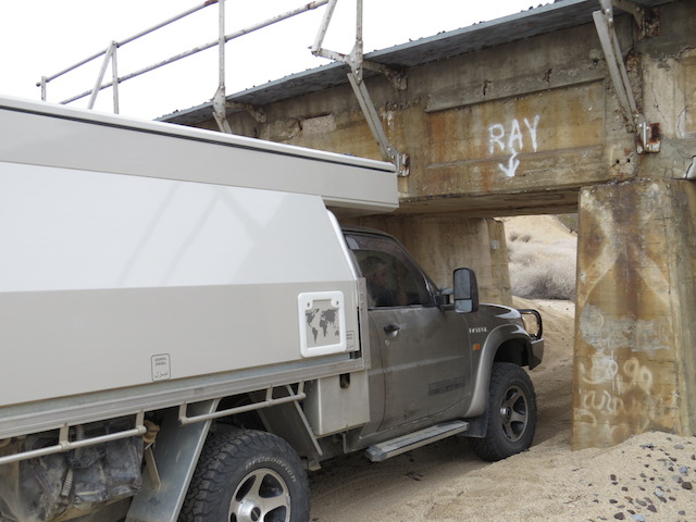
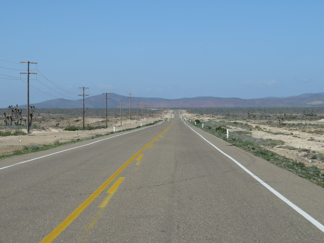
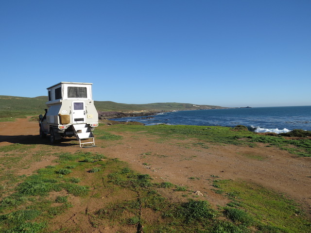
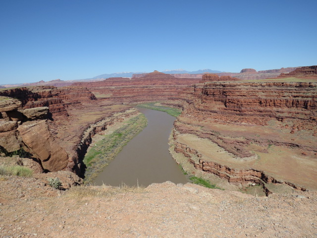
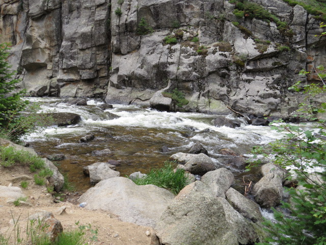
The scenery around Moab and Potash Road
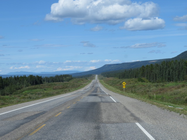
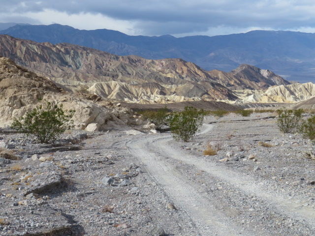
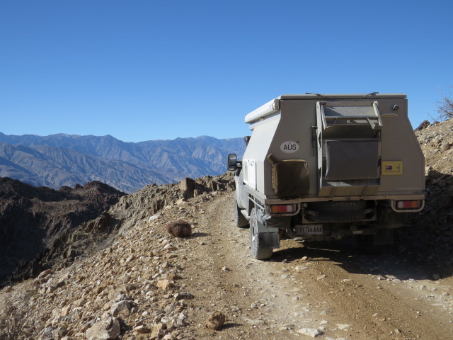
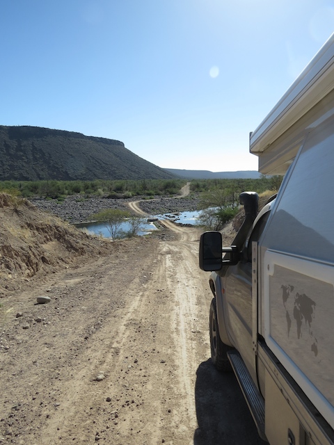
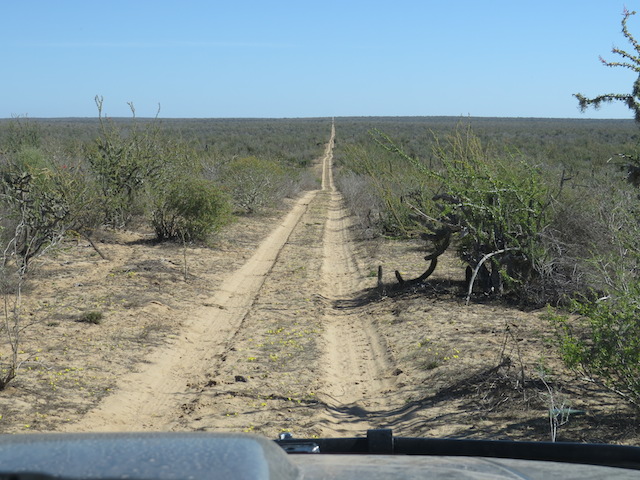
The Potash Rd, just out of Moab along the Colorado River was another of Utah’s famed 4×4 trails and whilst only mildly corrugated with the odd rocky section, this gravel road traverses scenery that is just superb.
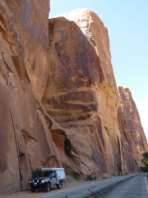
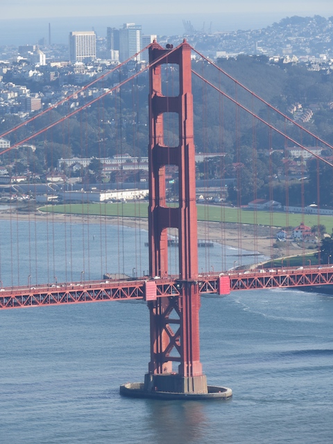
Potash Road
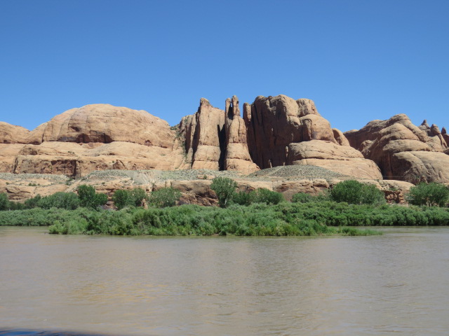
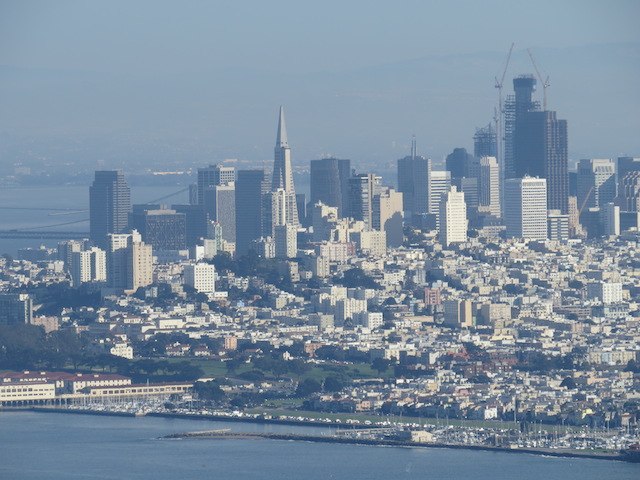
Colorado River Scenery – Moab
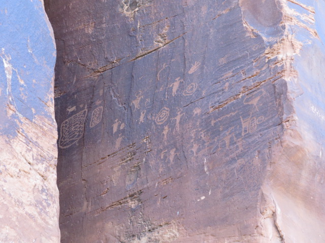
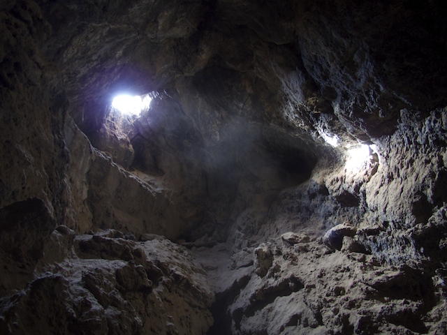
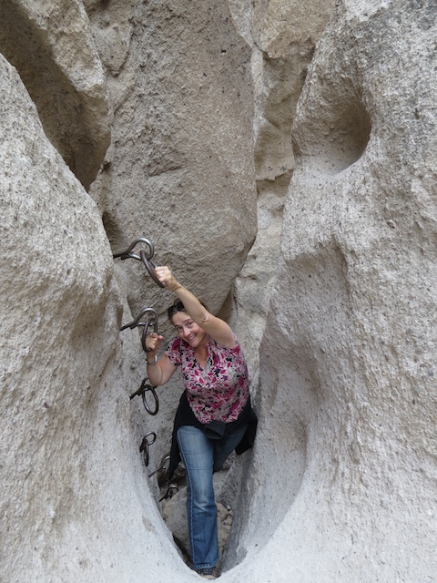
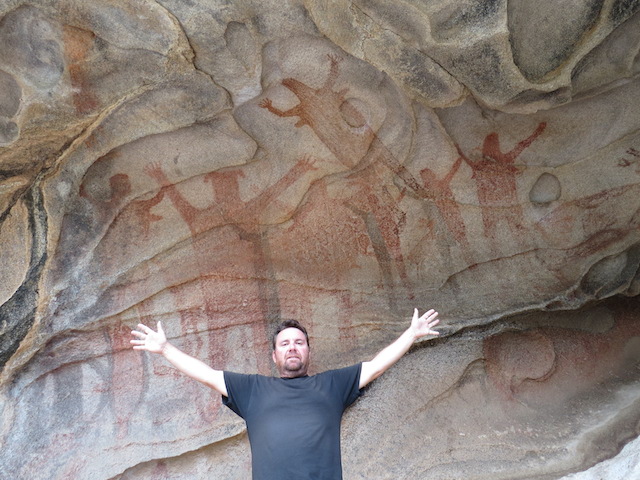
More Petroglyphs – Potash Road
“Thelma and Louise” Point from the Movie
Arriving at the terminus of this trail sees you enter Canyonlands National Park just below a section of steep road known as the Shaffer Switchbacks. Driving this road you quickly ascend above the canyon via a series of exhilarating steep narrow switchbacks where, once on top, you join the main scenic drive through the National Park.
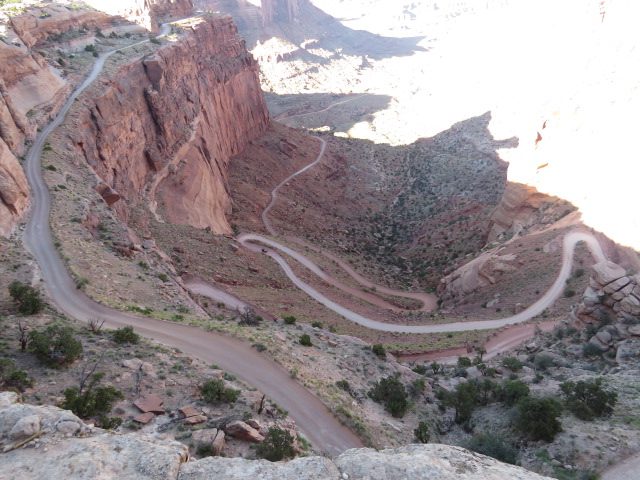
Shaffer Switchbacks
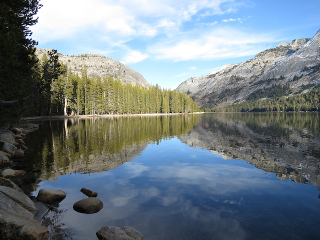
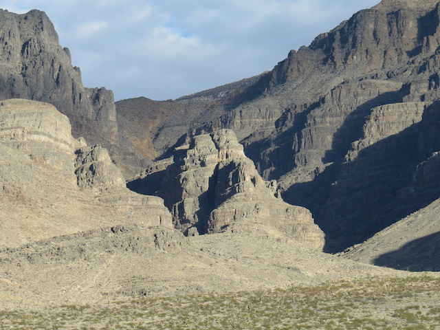
Canyonlands NP
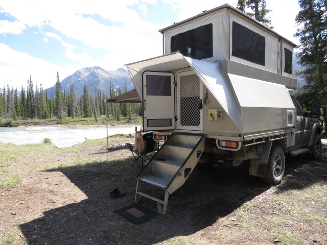
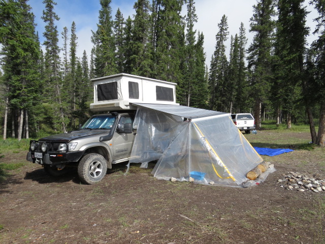
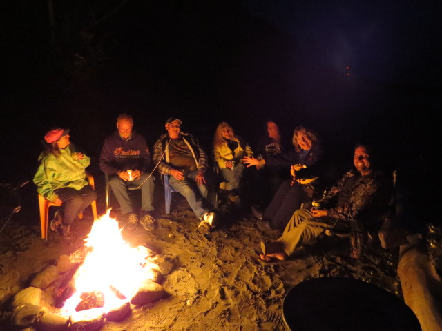
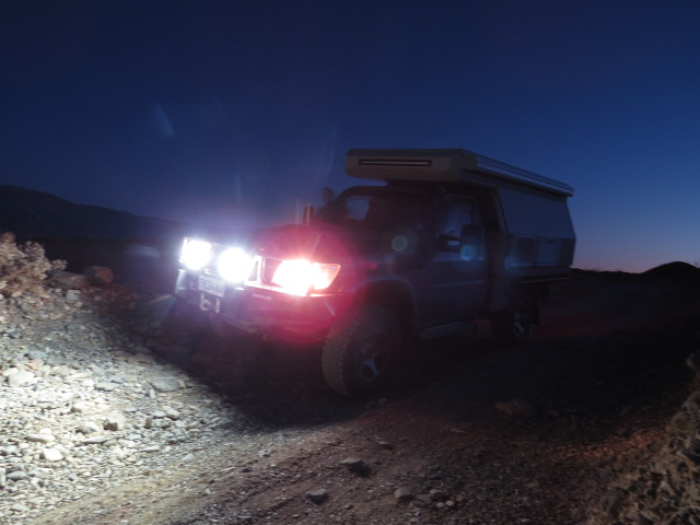
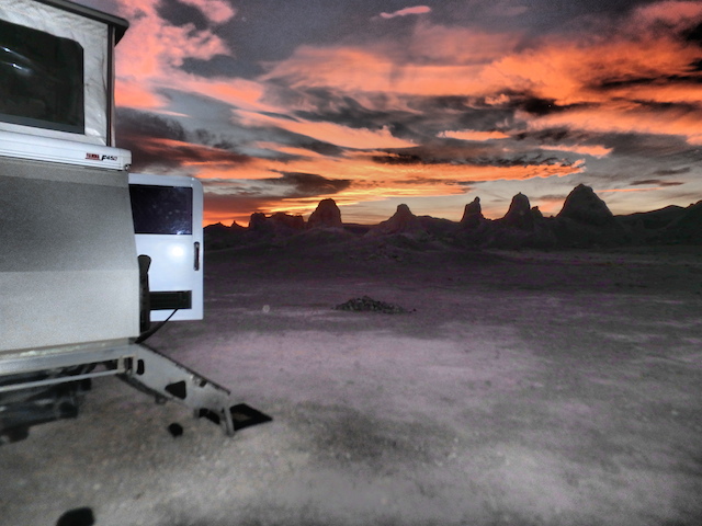
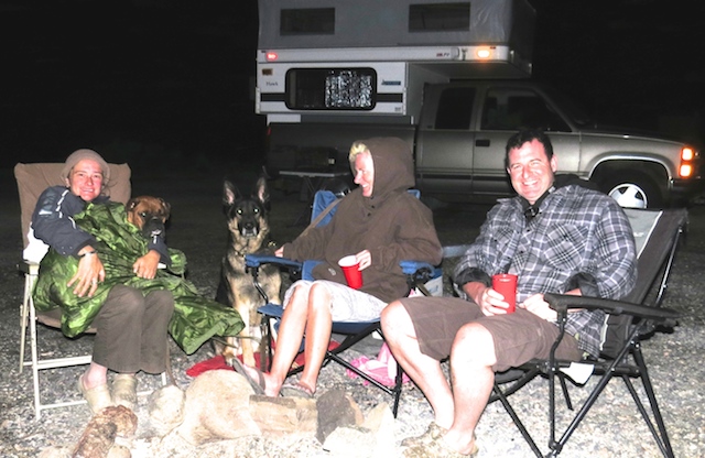
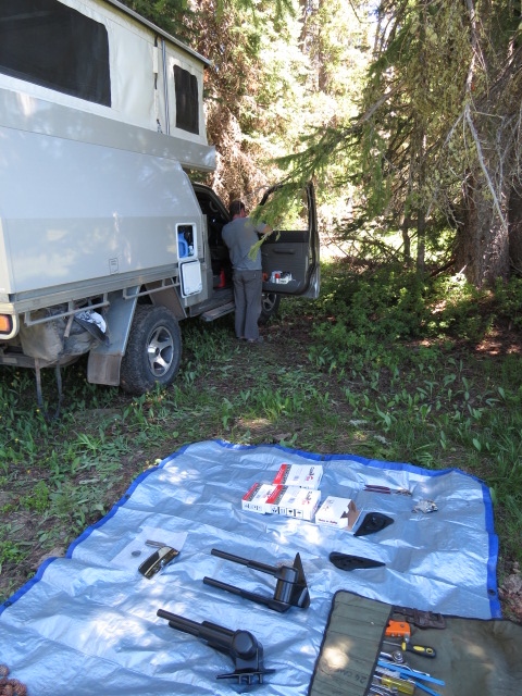
Camp…
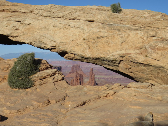
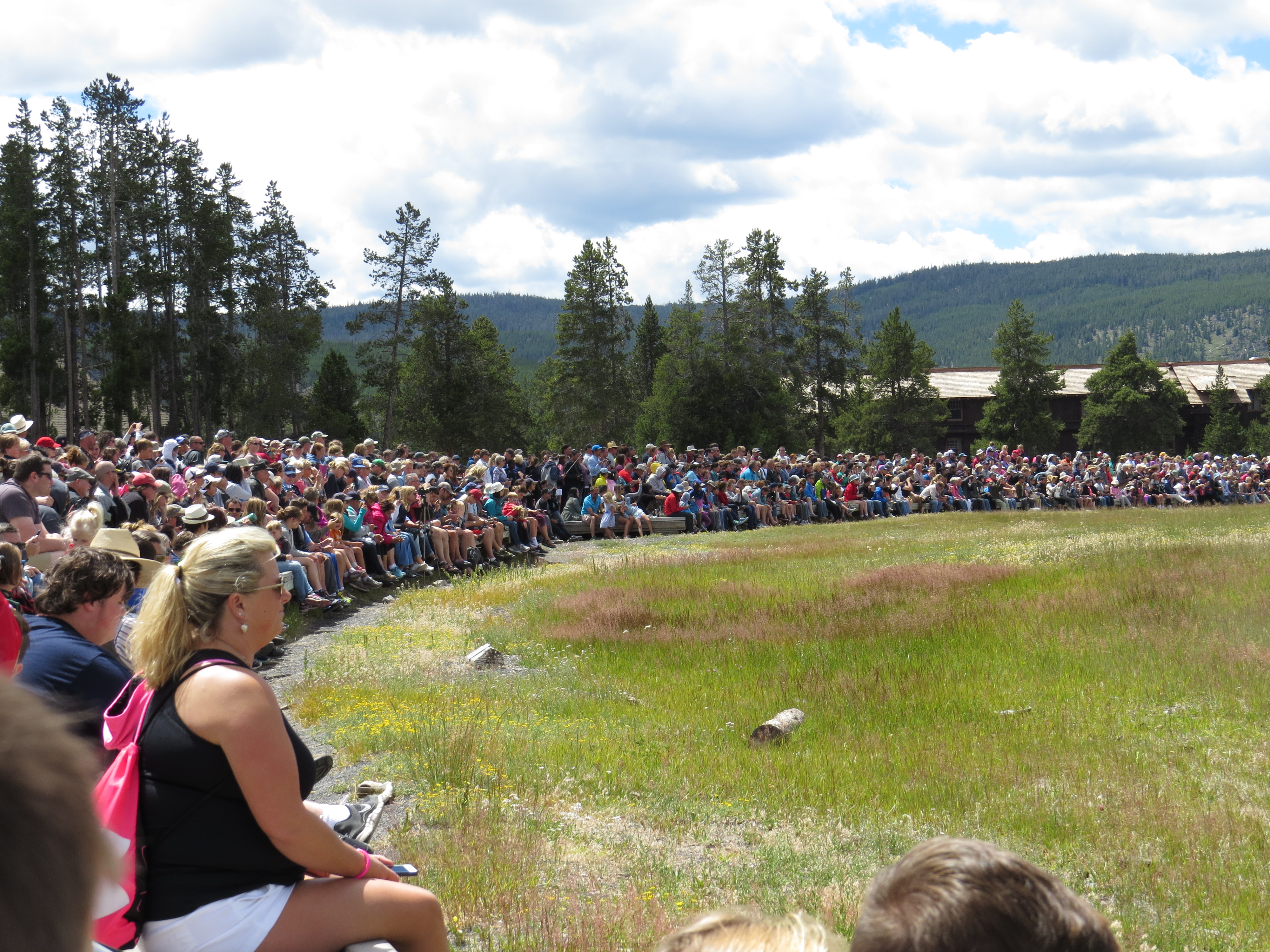
Satisfied with our visit, the following day we headed over to Arches National Park and I’ll admit, I almost turned around at the entrance! The queue was about a km long and after days and days of relaxed solo travel, it’s always a smack in the face when you find yourself amongst high-density tourism. Of course, often the reward is worth the wait and that was definitely the case in this instance.
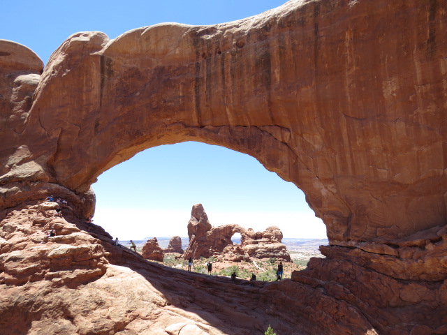
Arches NP
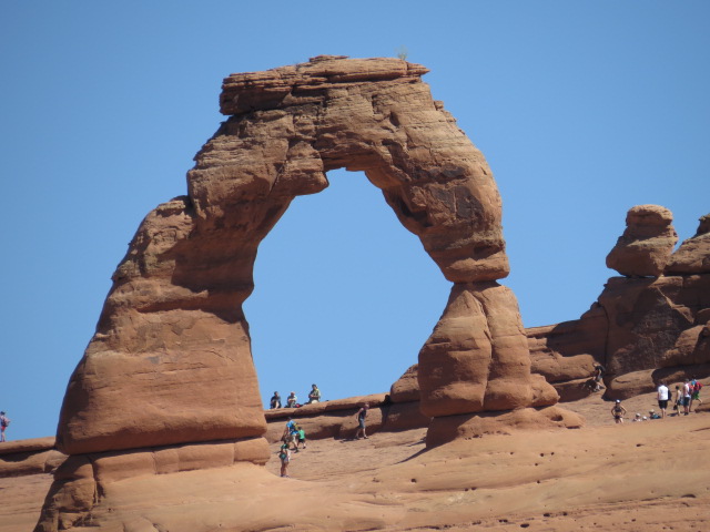
The iconic “Delicate Arch”
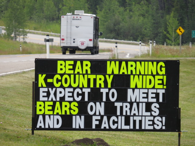
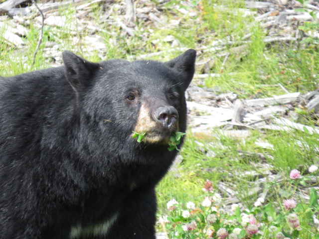
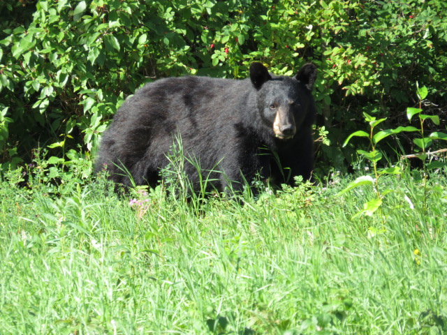
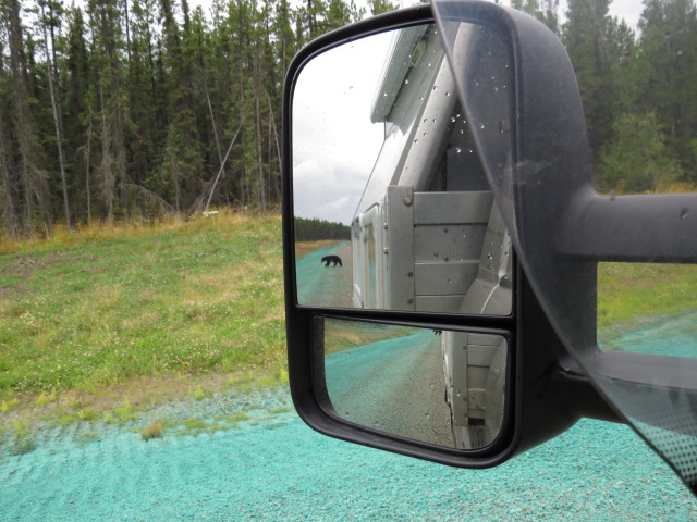
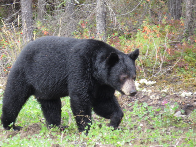
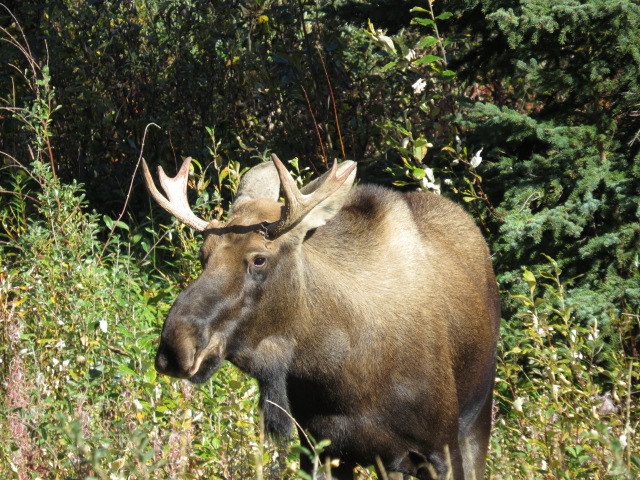
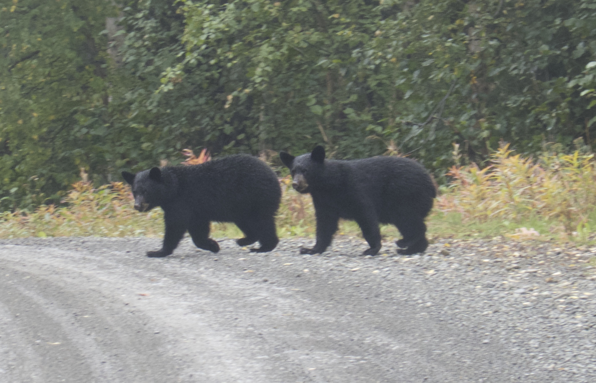
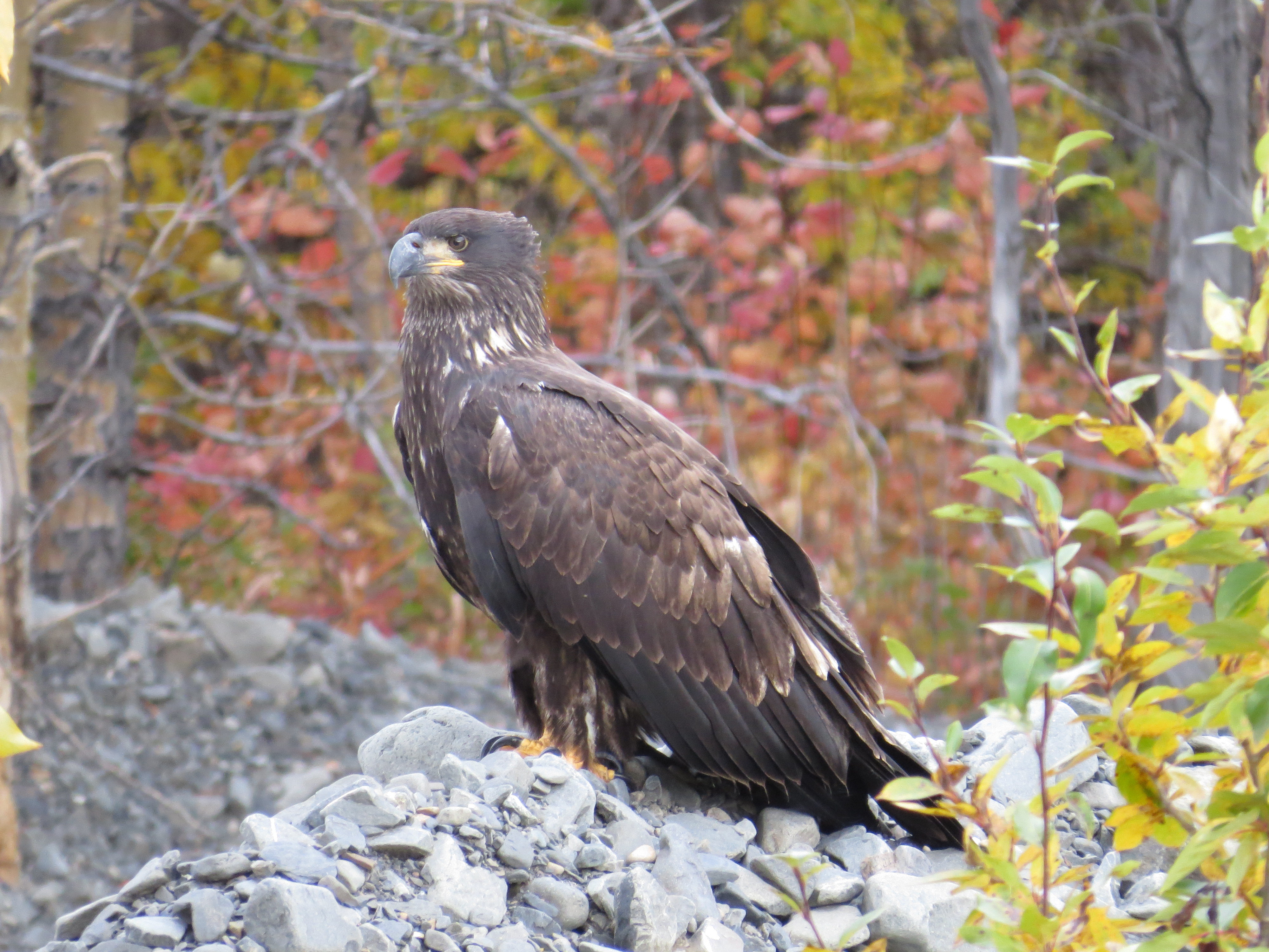
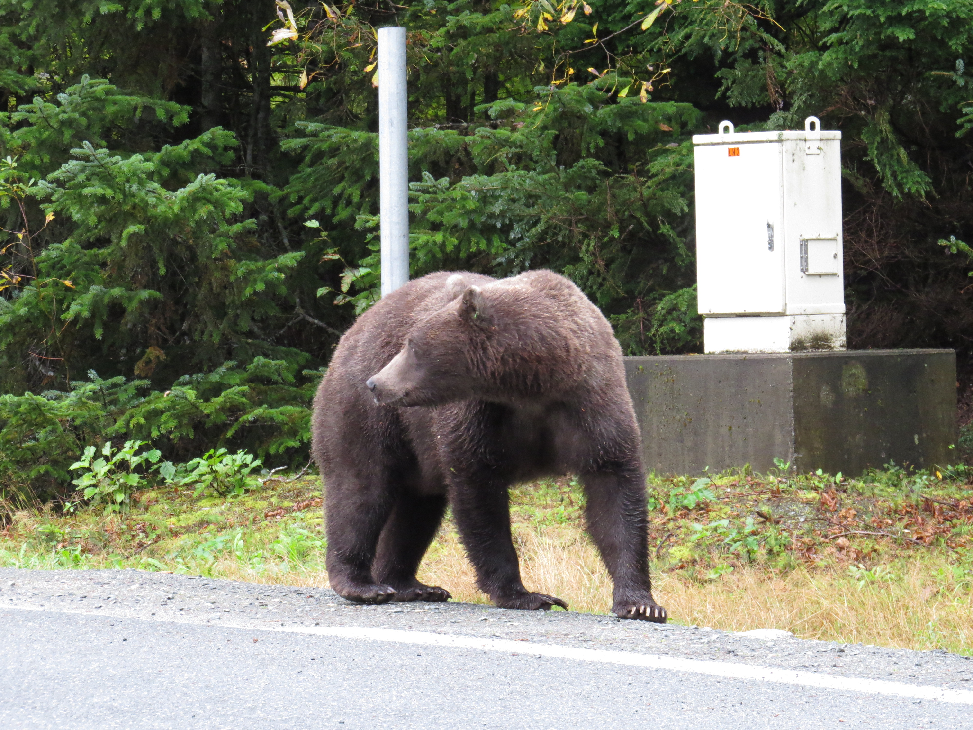
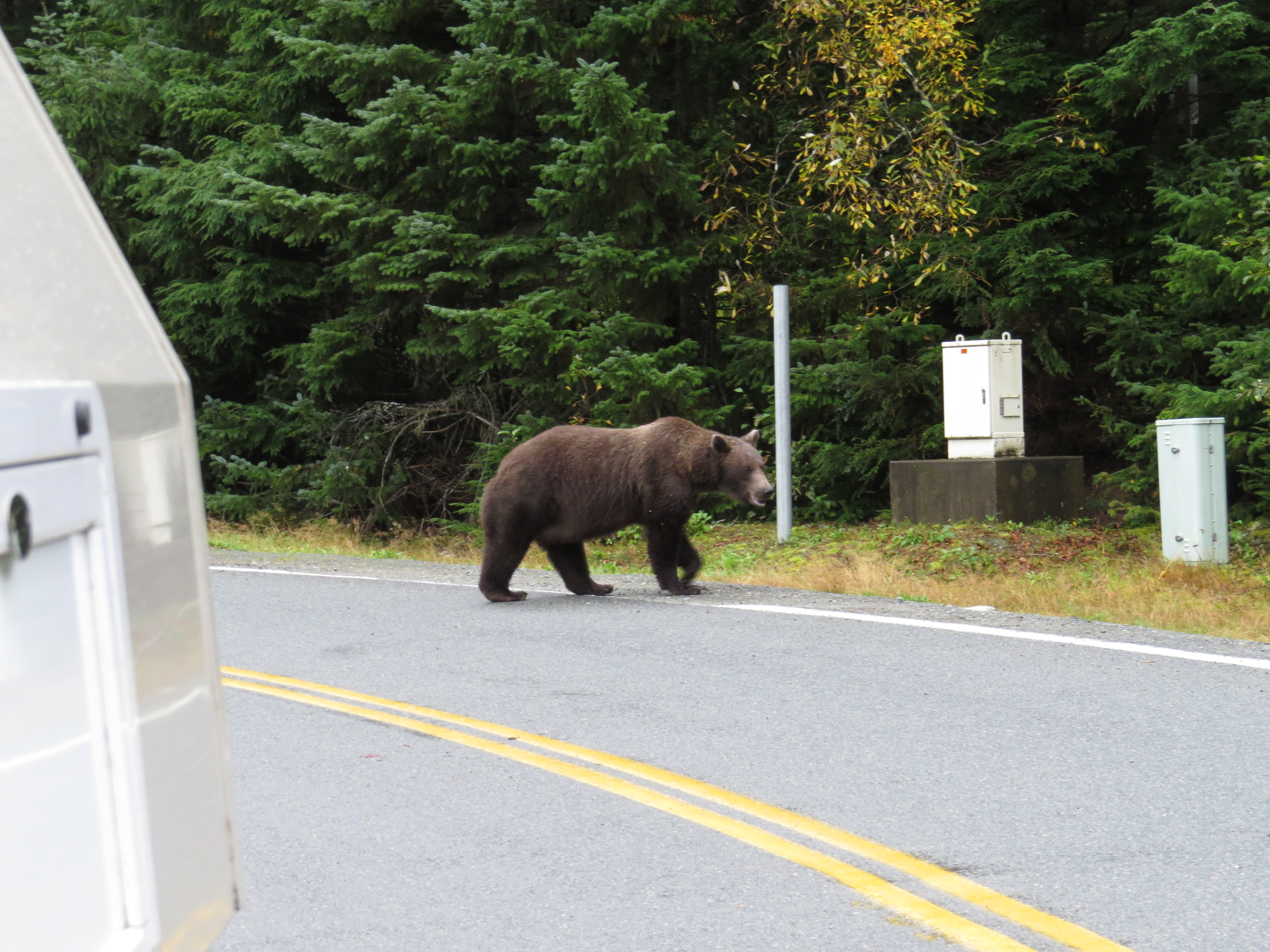
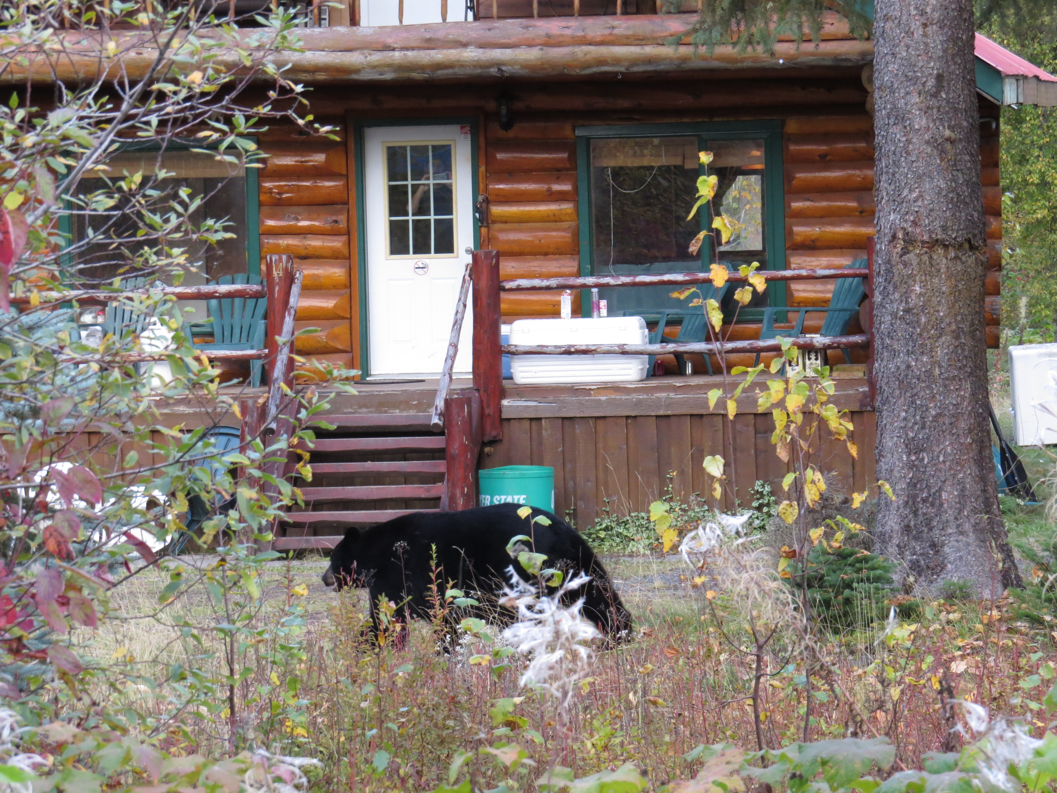
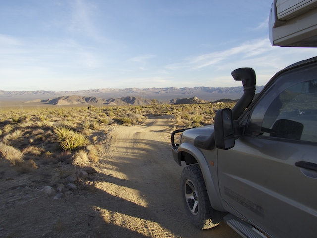
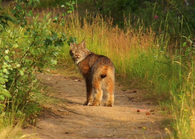
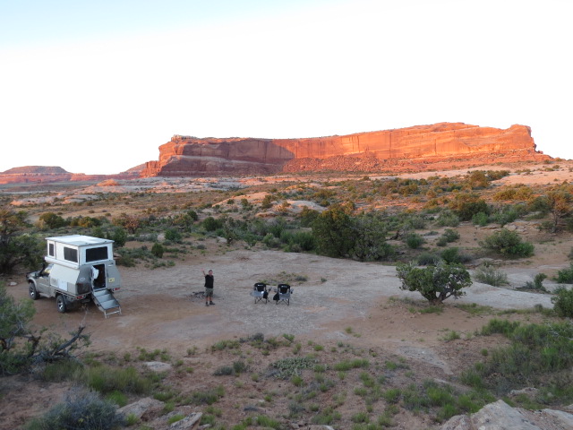
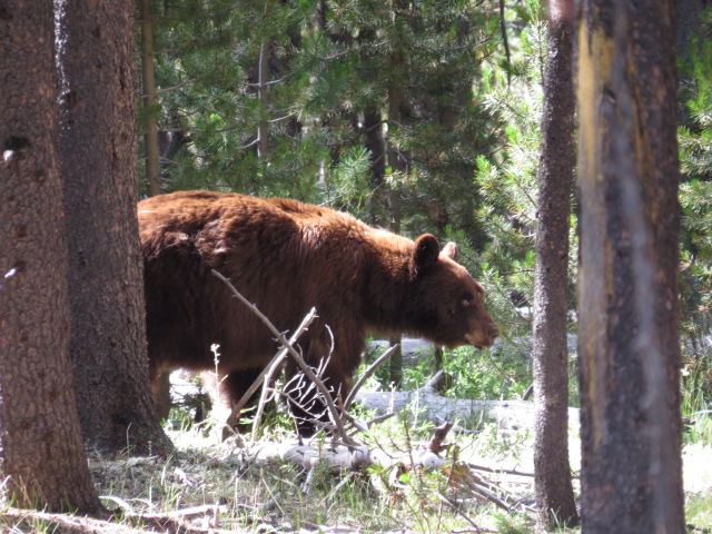
After a spell of sweaty hot weather, we headed back up into the mountains east of Moab for a cool nights camp enroute to the town of Grand Junction in northwest Colorado. Jen had found a nice dirt alternative to the F1 track that seems to hold attraction for most travellers. Not only a great relaxing campsite, but we were also rewarded the following morning with our first view of a wild Black Bear! The photo is not the best given we were chatting away in the Patrol as we rounded a corner and saw this wonderful creature. It’s rather staggering we got a pic at all as we were in shock really!
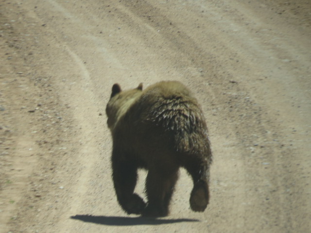
Our First Bear Sighting!!
Into the town of Grand Junction and we headed for the UPS office to collect our replacement Clear View Mirror parts – Mike and Jay from Clear View Mirrors, that we’d met at Overland Expo, had stunned us with an offer of sending out all the parts required to repair our mirrors! We’d managed to damage one way back in Mongolia and the second in the narrow lanes of Cornwall!! Given the whack it received in Mongolia, I’m still amazed it hadn’t taken the door off the car let alone survive the impact and it remained completely serviceable! It was such a generous offer and we were quite humbled by it.
As with Moab, Grand Junction’s geographic location leads to a rather severe northward traverse of the thermometer during the summer months and our visit to both locations landed right within a slightly unseasonal heat wave! Fortunately, as with Moab, just outside of this township, the terrain rises dramatically and campsites amongst the dwindling remnants of snow are available within an hour or so of travel. We spent a few relaxing nights catching up on chores and soaking in the clear air.
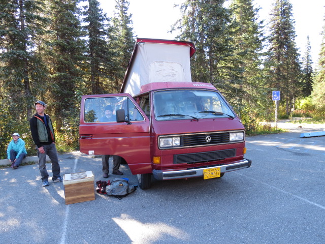
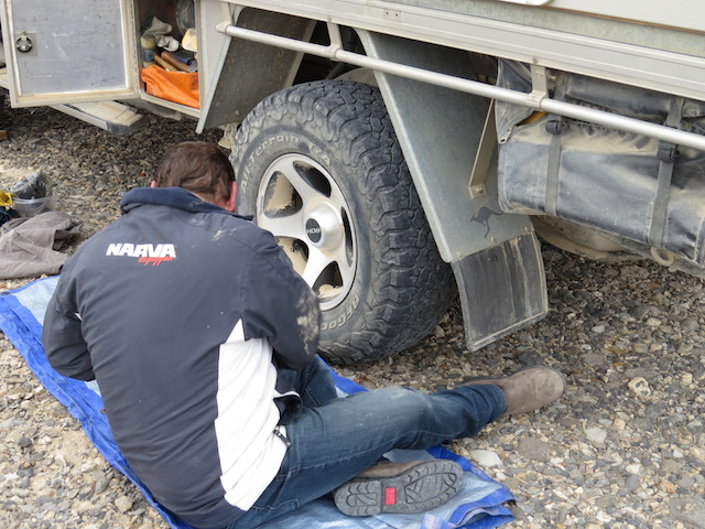
Repairing the Clearview mirrors
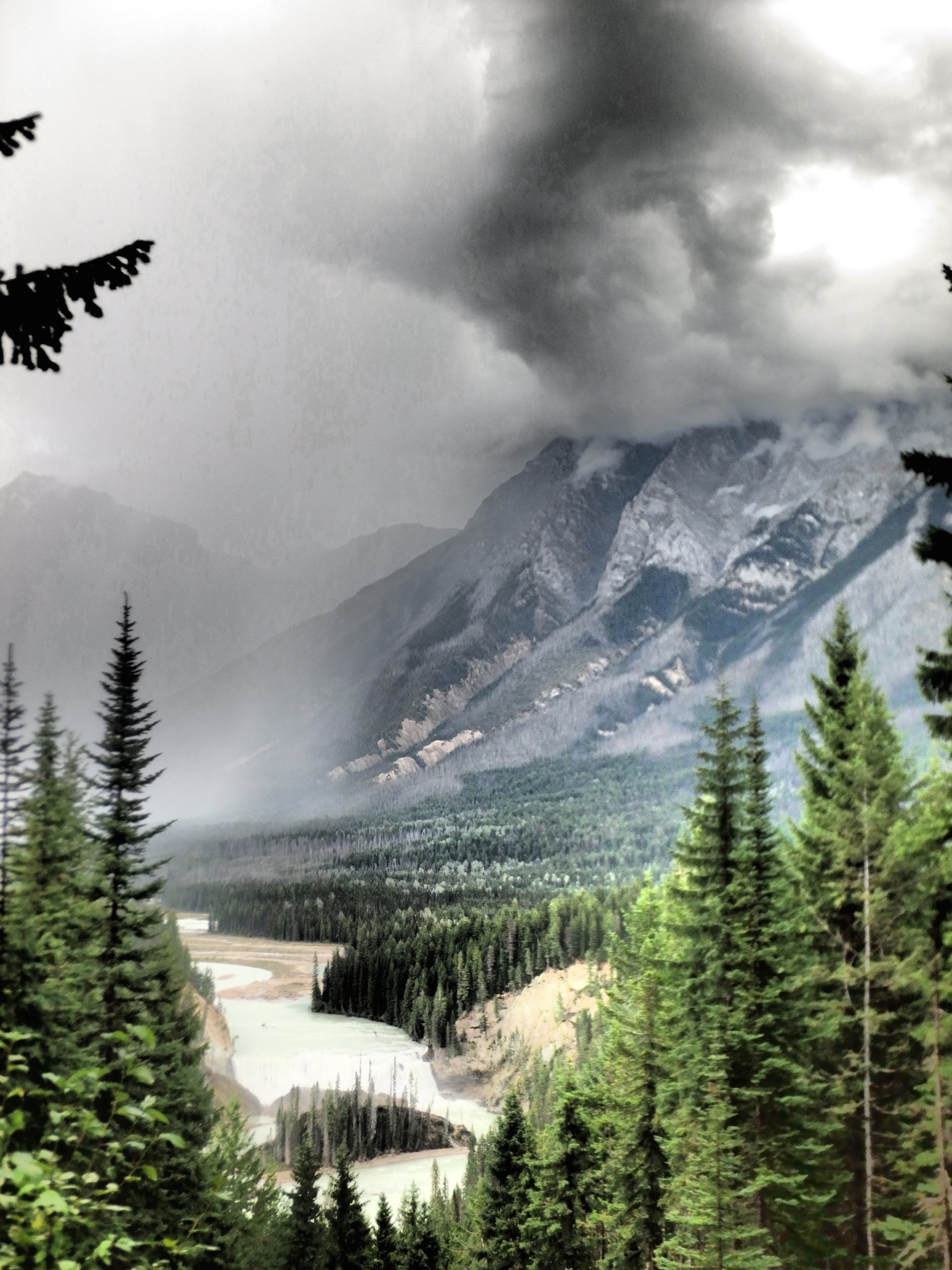
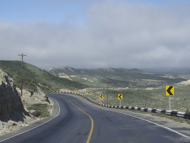
Mountains, canyons, gorges, rivers and picturesque towns provided the entertainment for our run south on what is known as the “Million Dollar Hwy” due to its stupendous views!
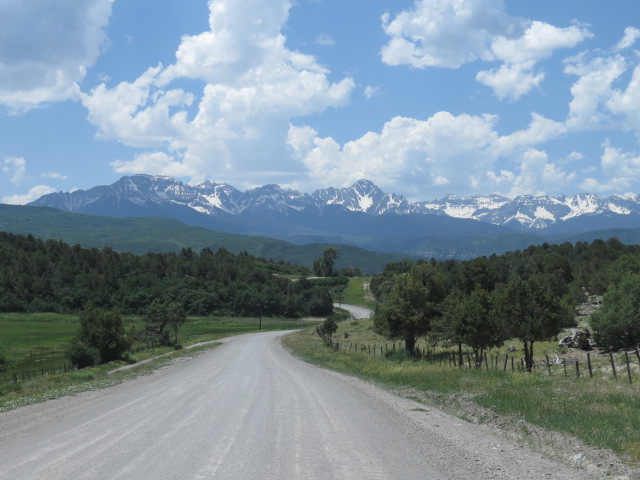
Scenic Colorado
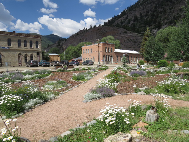
Ouray
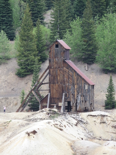
Abandoned “Yankee Girl” Silver Mine
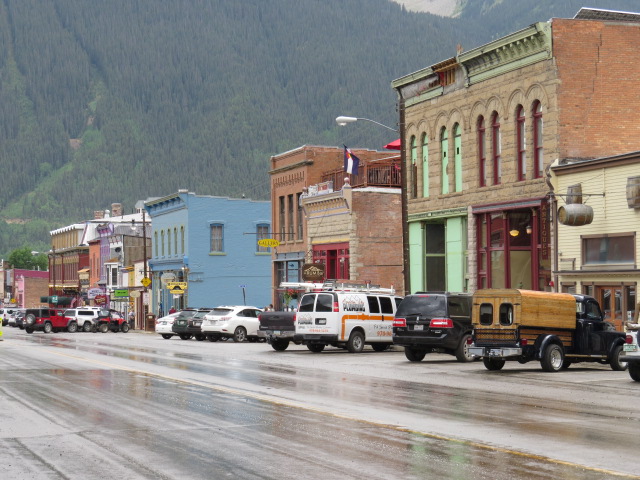
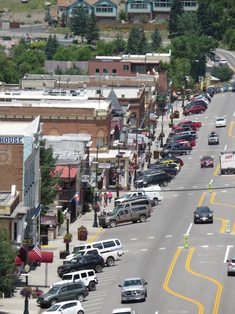
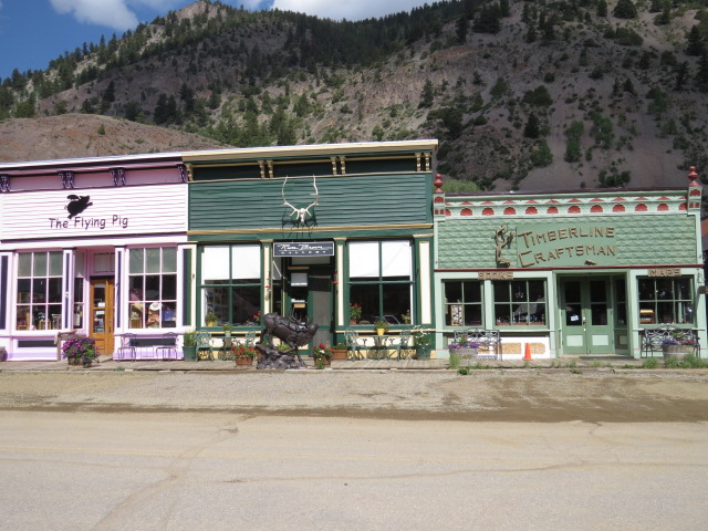
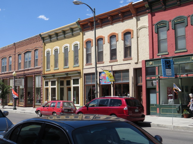
Silverton
Silverton has the old “Wild West” feel in spades and is great for a wander with plenty of old-world shops and establishments to keep you entertained. It’s also the start point for the Alpine Pass 4×4 trail! Old abandoned mines litter the terrain around this historic town and allowed for a never-ending stream of interesting stopping opportunities.
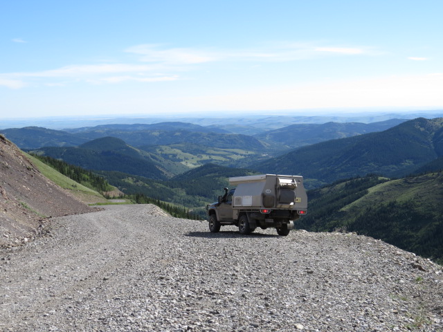
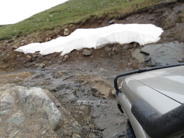
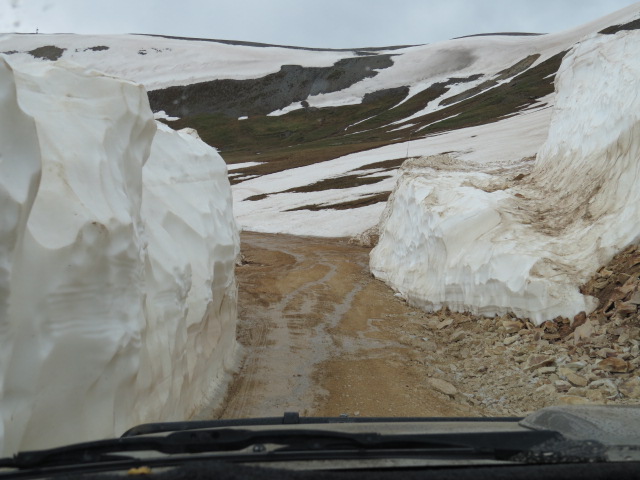
We’d decided to head west up and over Engineer’s Pass to Lake City on the Alpine trail and it proved to be a really interesting drive. Not only for it’s history as an original horse drawn stagecoach route (with a daily service over the mountains all of those years ago), but the fact that it had about half a dozen very nasty sections along its length!
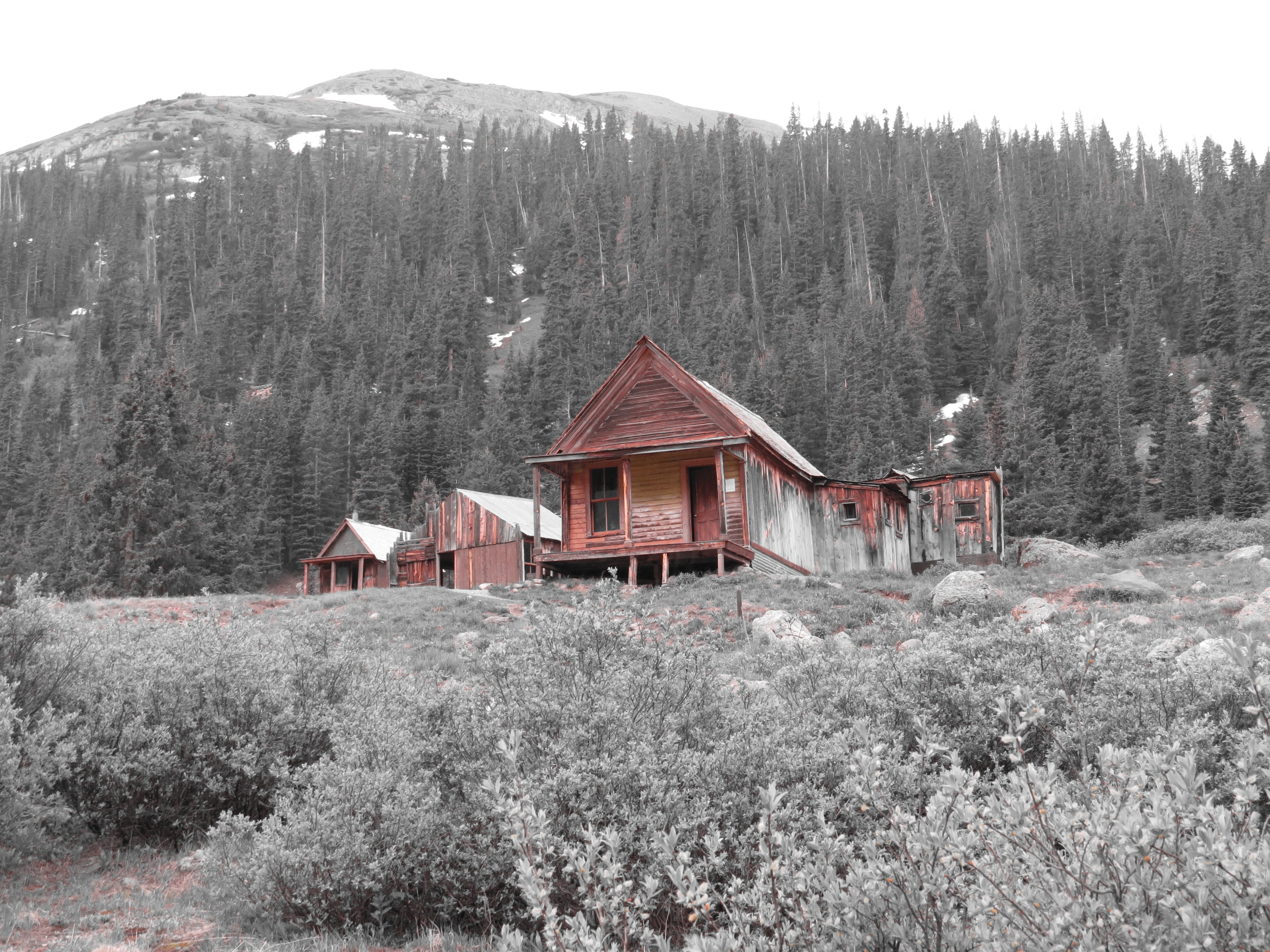
Animas Forks Ghost Town
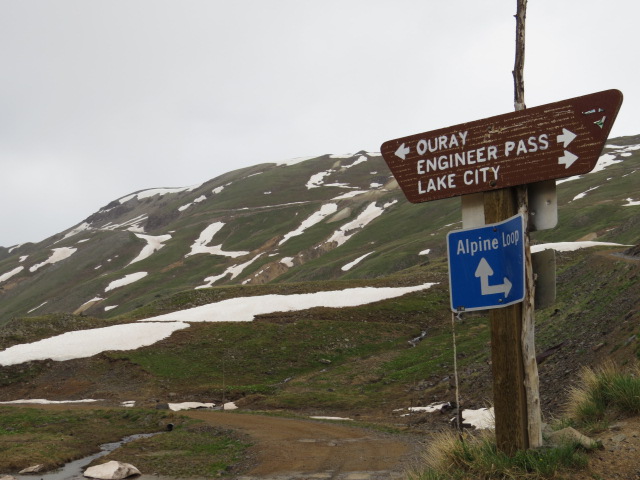
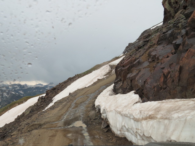
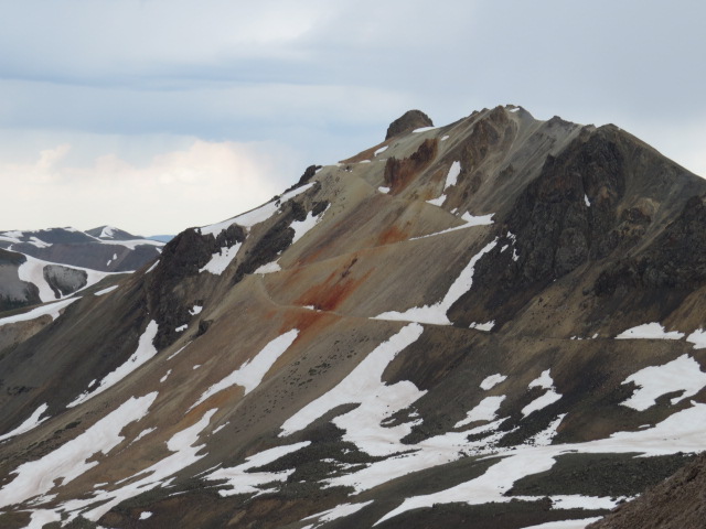
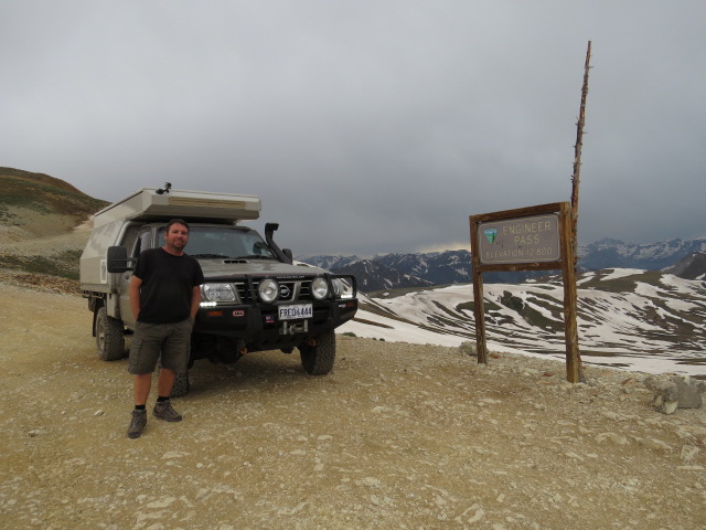
Engineers Pass – 12800ft
Reaching 3950m, it’s only 700m shy of our high altitude run through Tajikistan on the Pamir Hwy! On that occasion we spent a considerable amount of days at altitude rather than up one side and down the other but it was strangely nice being up amongst the ethereal heights again!
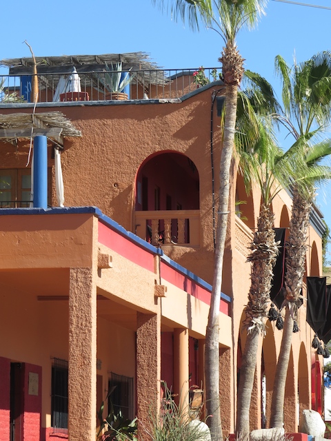
Cresting the pass, we began our wander down toward Lake City, an interesting little township with timber sidewalks and quaint period style shops. An effort has really been made to retain the look of a mining hub in the 1800’s and achieve that result they have!
Lake City
Lake City
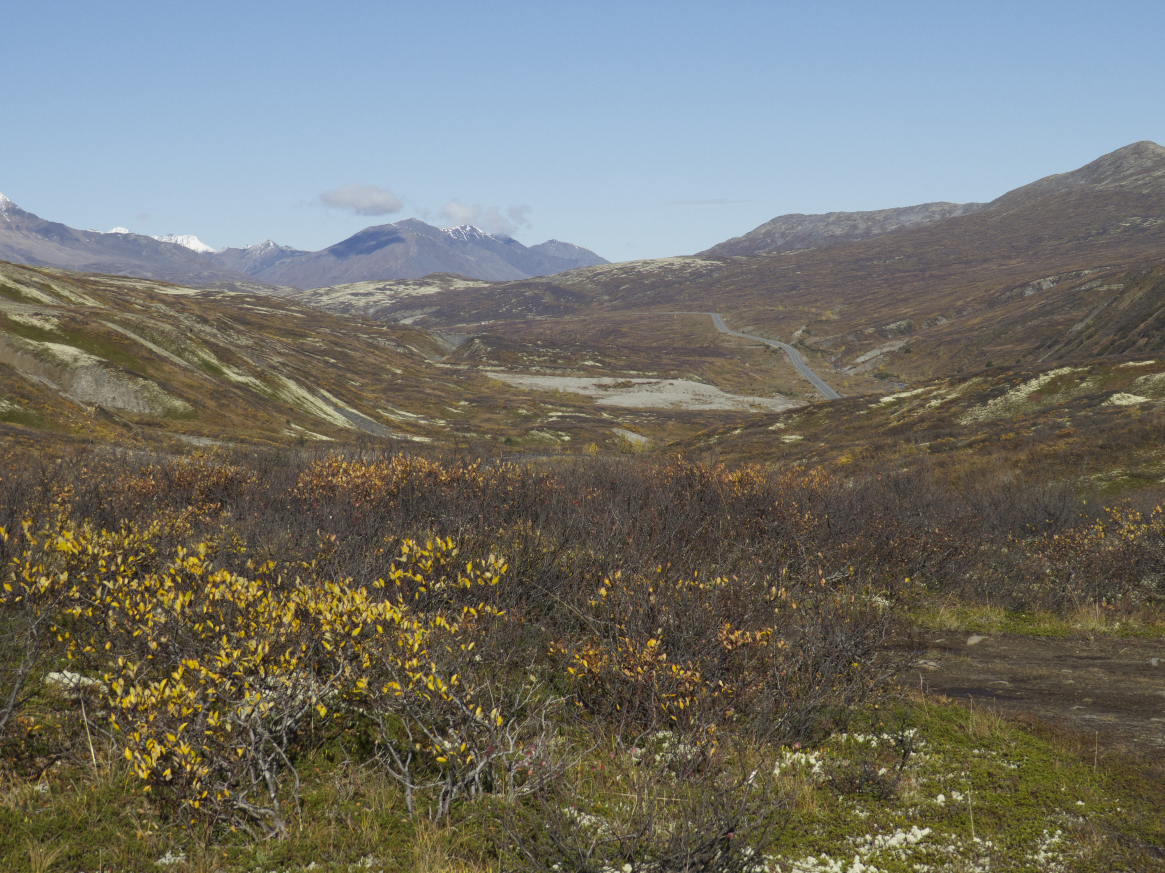
Western Colorado is laced with mountain ridges and high peaks. Roads dart along the lower terrain and often along the banks of boulder-strewn rivers that gurgle with opaque cold-water streams that power their way down from the mountains. Every now and then, the highways rise up and over the high ridges with many passes above 10000ft! Balmy and warm one minute and amongst snowy crests the next, even during summer.
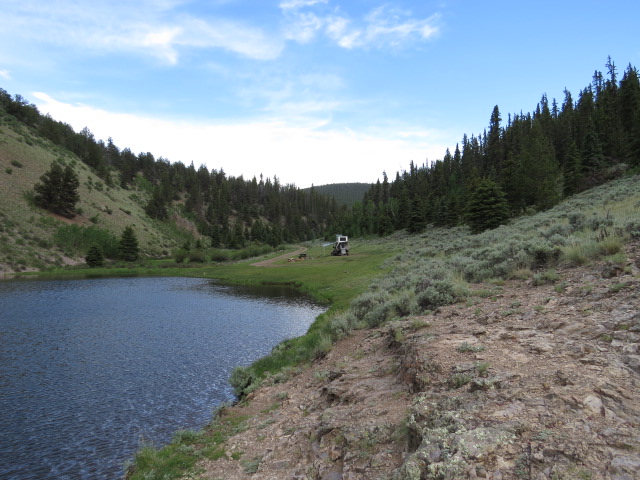
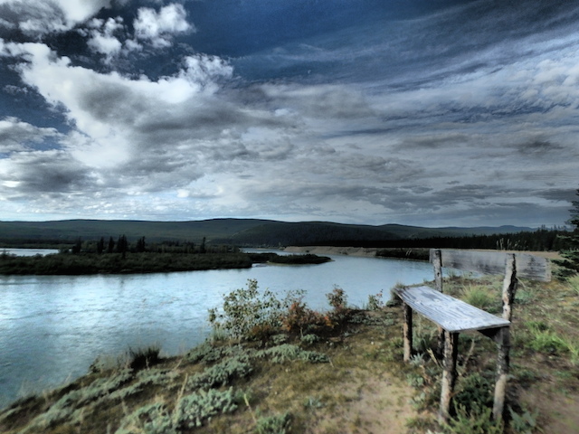
McDonaugh Reservoir Camp
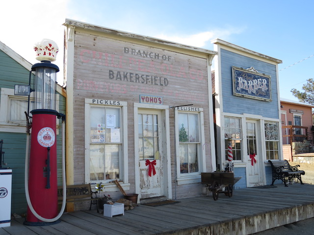
Colorado is known for its ghost towns – relics from a bygone mining era. Whilst many lay abandoned and neglected, we chose to visit St Elmo – repaired over the years to preserve its history, the town is very much original in its appearance and effortlessly takes you back a century the moment you enter its main street.
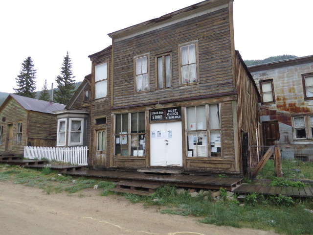
St Elmo
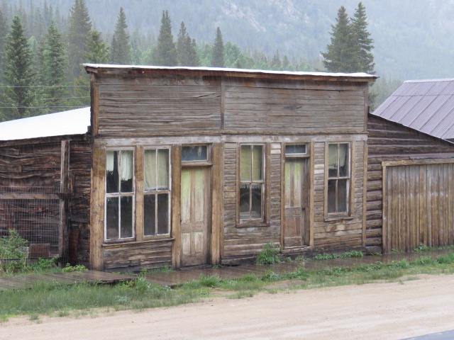
St Elmo
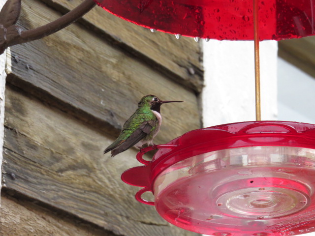
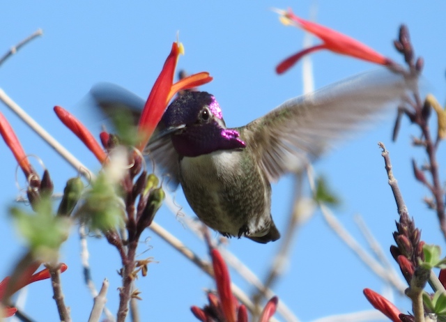
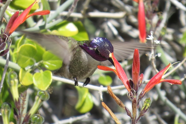
Hummingbird
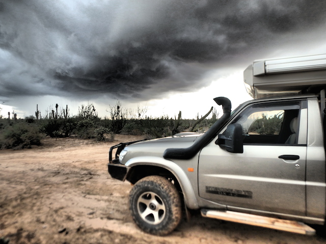
Unfortunately torrential rain and thunderstorms joined us for the duration of our visit. With the weekend approaching we were on the campsite hunt once more! The locals would be eager to slip their collars and head into the bush for some R&R over the weekend, hence we endeavored to find ourselves a campsite that would do for a few days! Generally after the weekends have slipped into history, finding campsites becomes considerably easier, especially in these more accessible areas
Salida, Colorado
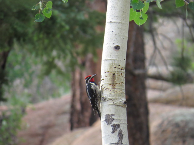
Woodpecker
Drifting northerly, we wound our way down the Boulder River Canyon into the town of Boulder. Lying on the fringe of the Rockies, the area beyond descends into spirit level flat terrain as far as the eye can see.
Boulder River Canyon
I’d have to say, Boulder was quite a refreshing visit! The pleasant Pearl St pedestrian mall cuts its way down the centre of town with lovely shady areas to relax and while away the day! “Foolish Craig’s Café” for lunch capped off a great visit!

Boulder, Colorado
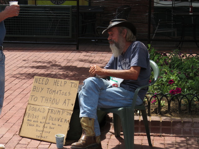
With the 4th of July looming, we had to work pretty hard in order to locate a campsite that would do for a few days! It would seem the only way the locals can secure a site is to head out a day or 2 before the expected throng of campers and set up their chosen area to claim it and then return home until the weekend. Technically you are not allowed to leave your campsite unattended for the first 24 hours but I guess, with the pressure for a good spot rather pressing, everyone seems happy to flaunt that law! Anyway we succeeded in attaining one of the last reasonable sites amongst the flag waving locals.
The 4th of July weekend was slightly reminiscent of a Sunday at the gun club. The only thing separating the spirited celebrations from those you often see on television in the Middle East was that the rounds were going into targets and trees rather than vertically released which has to be marginally safer!? All in all it was great to see such Nationalism and on our departure a few days later, we were greeted with the Red White and Blue laced through fences and displayed proudly upon houses in every form imaginable. I really enjoyed the display.

Patriotic
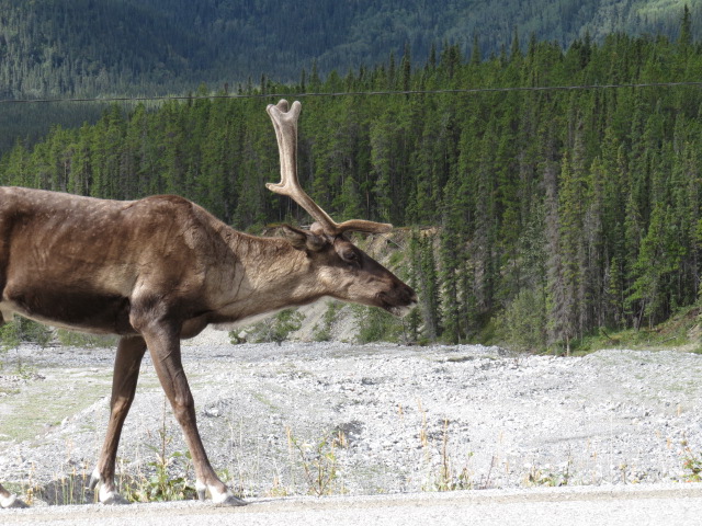
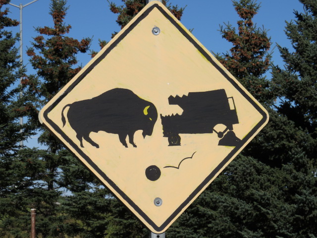
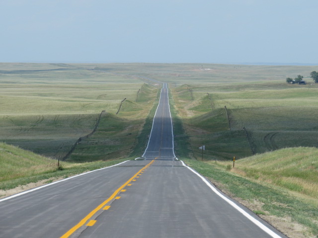
Across Wyoming and into Nebraska, the latter gave us our first real taste of the Great Plains east of the Rockies. Picture perfect rolling grassy hills stretching to infinity; you could just imagine the Bison careering across the terrain all those years ago. Generally fenced for cattle and farming these days. it’s still a spectacle.
Nebraska
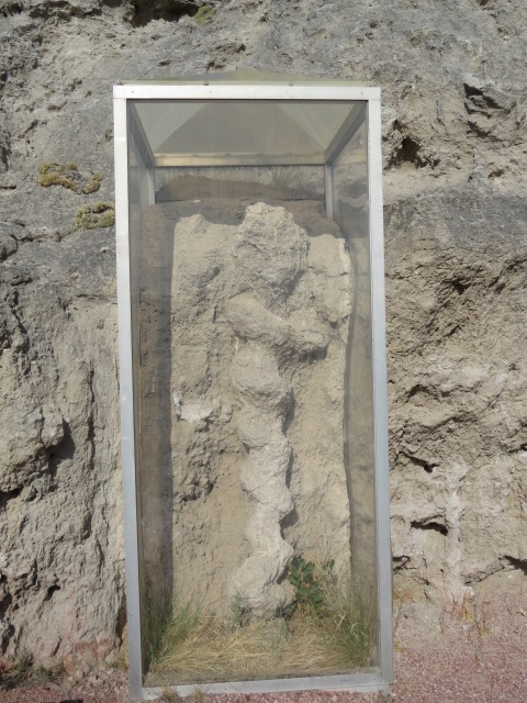
I’m constantly amazed at the amount of fossil sites that have been discovered all throughout the mid west, spewing forward our history back to the days of the dinosaurs and beyond. Seeing these sites and observing actual bones seems as alien as anything Hollywood could invent.

Dinosaur Footprints near camp – Utah
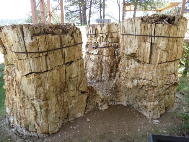
Fossilised Redwoods preserved by volcanic ash – Florissant Fossil Beds National Monument Colorado
The Daemonelix or Devils Spiral. Actually the fossilised remains of a gopher like animal’s underground housing – Agate Fossil Beds – Nebraska

Mammoth Site in Hotsprings, South Dakota. An intact bone bed of Columbian Mammoths – 120+ so far identified
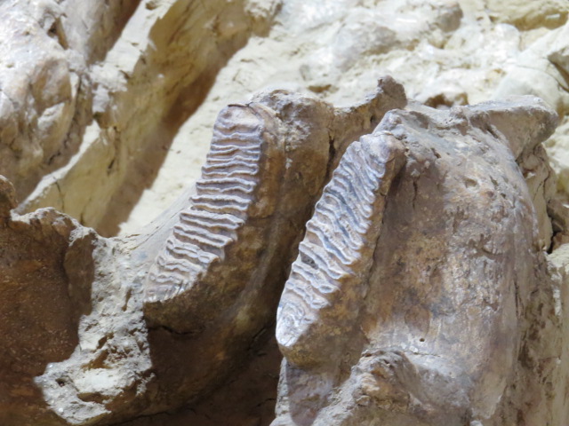
Mammoth Molars
The Black Hills of South Dakota, also home to Mt Rushmore, really are quite stunning! The township of Keystone is the gateway town for your visit to the famous mountain sculptures. Nearby Mt Rushmore, an enormous depiction of Crazy Horse is slowly emerging from the Mountains. Privately funded and with some time, it will no doubt be an overdue and endearing statement!
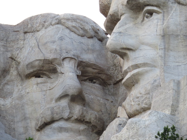
Mt Rushmore

Crazy Horse Monument still under construction
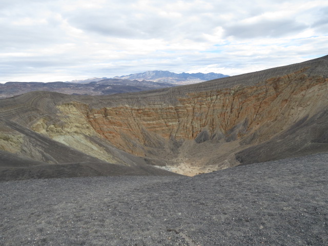
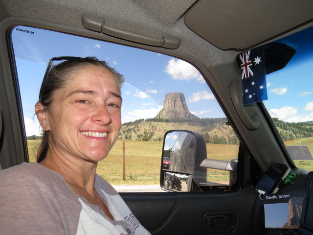
Wherever basalt columns are exposed from below the earth, some form of spectacle is normal and Devils Tower is right up their as an example of these amazing formations! So out of place amongst its surrounds and for it’s movie notoriety, it really requires a visit. Who hasn’t seen “Close Encounters of the Third Kind” after all, although if you’re a little younger “Paul” may do it for you!
Apparently it was also beckoning everyone else within a large circumference as the queue to enter was well over a km long and not moving at all.
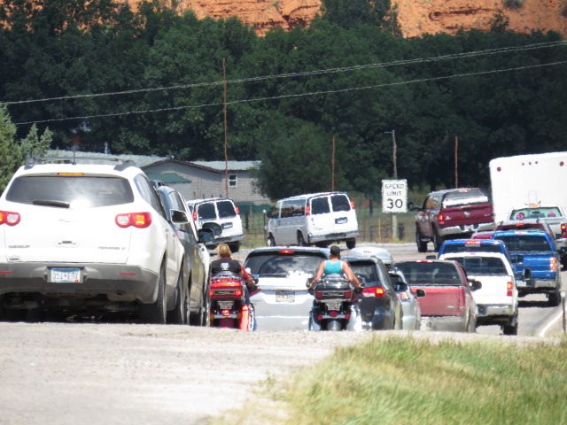
The Queue for Devils Tower
When finally we arrived at the head of the line we were staggered to see only one little old lady handling incoming visitors. In an amazingly slow droll, she performed the rehearsed and repetitive tourist spiel, took payments or checked park passes with seemingly oblivious disregard to the line of cars waiting to enter. Meanwhile, other park staff stood chatting in groups rather than display any form of initiative. Staggeringly inept organization in my opinion but hey what can you do! Hahaha
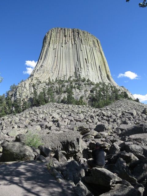
Devil’s Tower of “Close Encounters” Fame
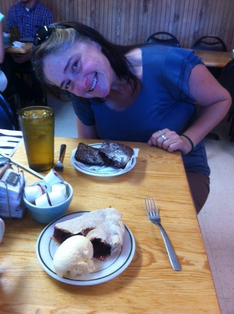
With a flush of gentle grey springing forth, Jen awoke on her 45th Birthday and we celebrated with a brownie and slice of cherry pie in the little town of Hulett and well that was that. Wonder where we will be next year! Yep it was very romantic…
Jens Birthday
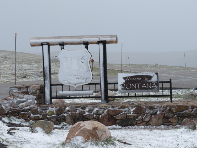
Western South Dakota and Montana really were out of the bag for us. I didn’t have much of an idea what to expect but often it can be the best way to experience any new destination! Plenty of opportunities to explore back roads, slow down and peruse the surrounds.
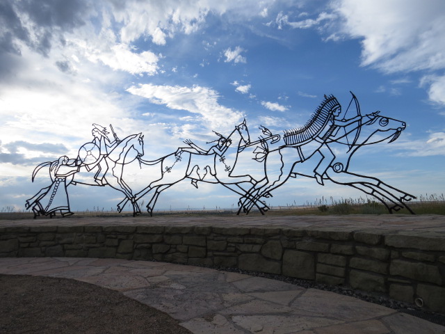
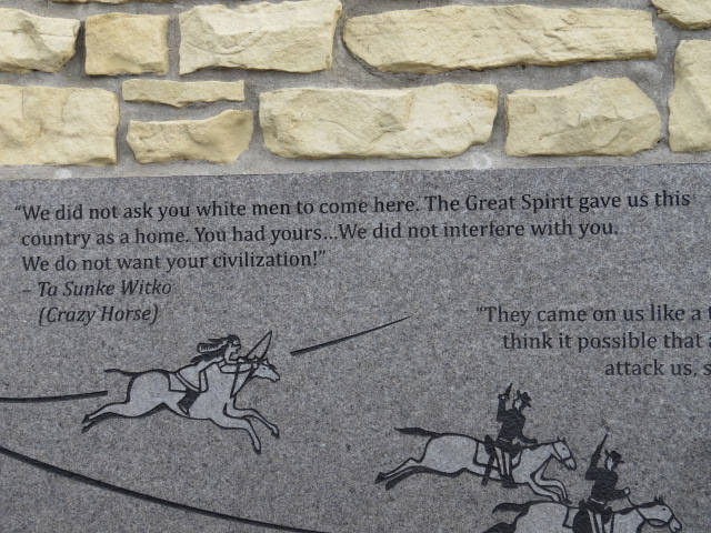
The Little Big Horn National Monument preserves the battle site probably better known as “Custer’s Last Stand”. A treaty with Indian tribes back in the 1800’s saw the Black Hills of South Dakota (home to Mt Rushmore), set aside as part of a large area to be recognized as tribal lands. However, after rumours spread of gold in the mountains, the US government wanted to open the land up for settlement and reneged on the treaty.
Custer was one of those empowered with the task of removing the Indian folk (even though he’d previously vowed never to go to battle against the Cheyenne again and smoked a peace pipe to cement his word). There is a lot more to the story but that’s certainly part of the reason that Sitting Bull, Crazy Horse and other Indian chiefs along with their people, the Lakota, Cheyenne and others came into conflict with the US cavalry.
Completely preserved, you can observe the land as it was on the day of the battle. a rare thing to be able to stand on hallowed ground and actually picture the gruesome events taking place all around you.
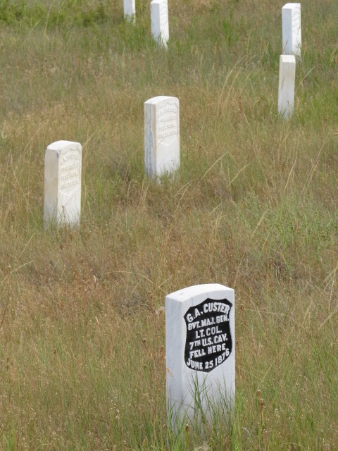
Custers Last Stand…
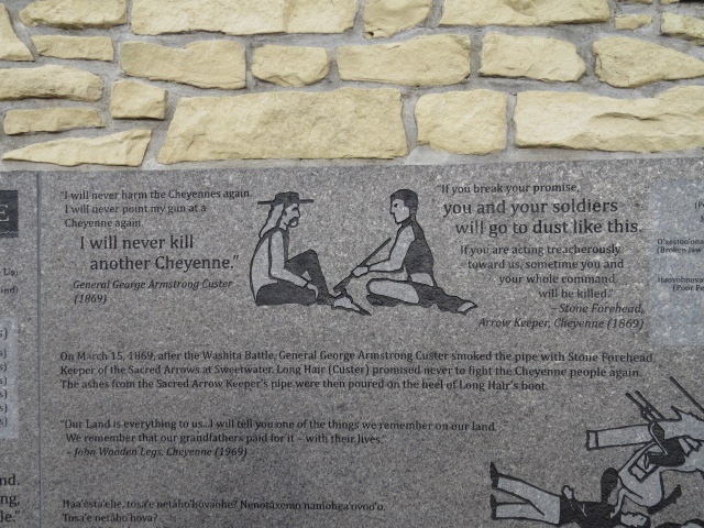
Custer broke his promise…
Battle of Little Bighorn
Up and over the famed Bear Tooth Hwy into Yellowstone was the plan but unfortunately, we camped on our way up to the high pass and by the time we ascended 2 days later, we were met with sleet and snow and a big barrier right near the summit informing us the road was now closed! (Turned out it had only been closed about 2 hours earlier, but would not be opening again that day)
Beartooth Highway Closed
A detour via Chief Joseph Hwy was now to be our path into the park, and a lovely drive it was!
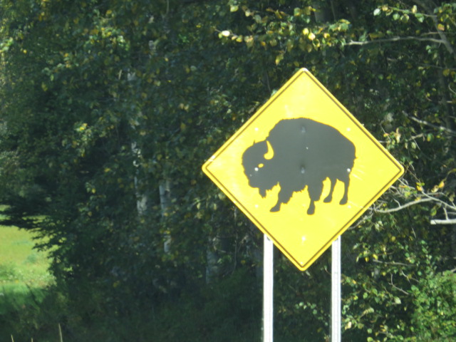
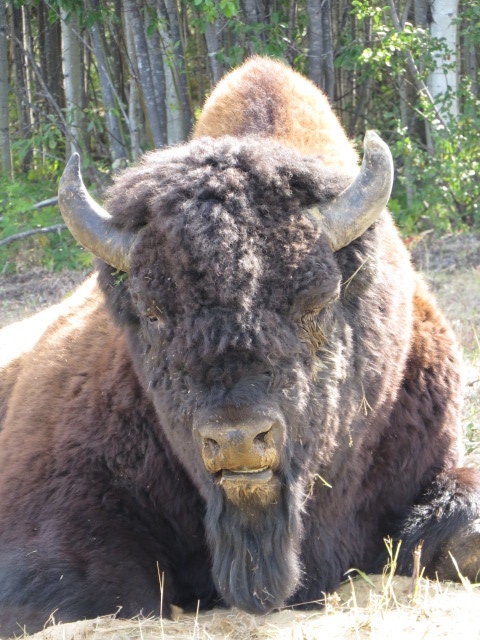
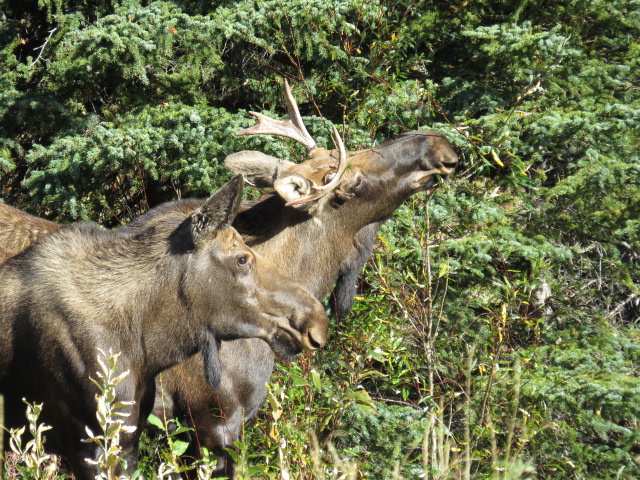
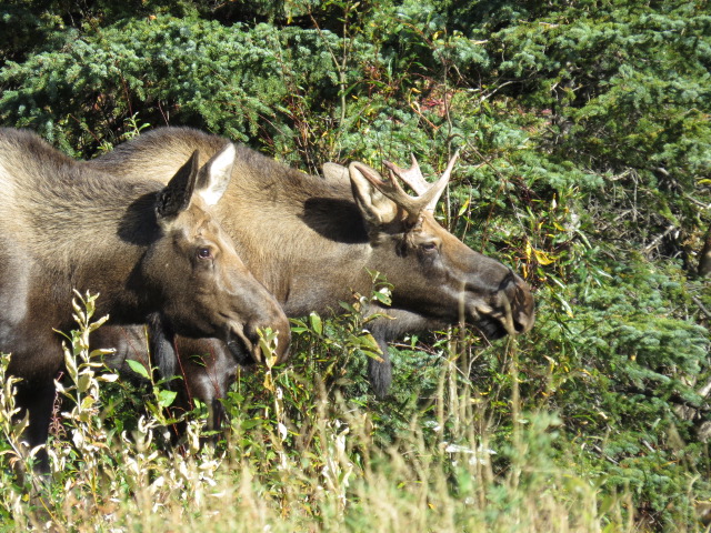
Into Yellowstone and the Lamar valley is a favored section of road renowned for animal sightings! We did see a few mountain goats and a black bear, but all were well beyond comfortable viewing distance! Bison were common.
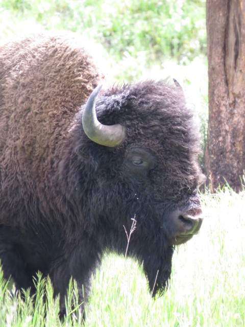
Bison
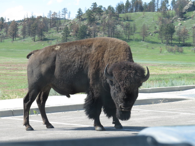
A Big Fella
Yellowstone is a really large park. It’s about 200km to drive around the ring road within the park center and it would seem an unending stream of tourist vehicles felt the drive was more like the Nuremburg Ring in Germany than a wildlife spotting scenic drive! I’m sure many visitors drive from scenic point to scenic point expecting to see all the park has to offer in those individual locations – truly ridiculous!
Time and time again we were passed, although we were generally at the speed limit (or speed target maybe). Usually, if you see cars stopped near the road an animal has been spotted, so slowing down for a look is the general idea!
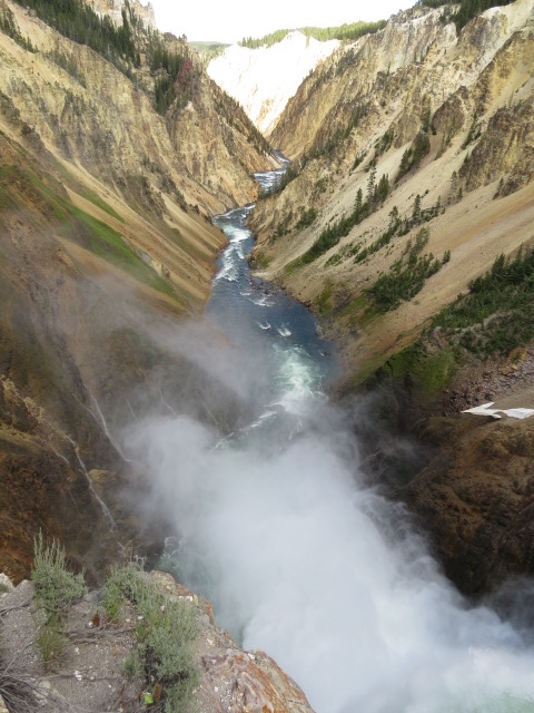
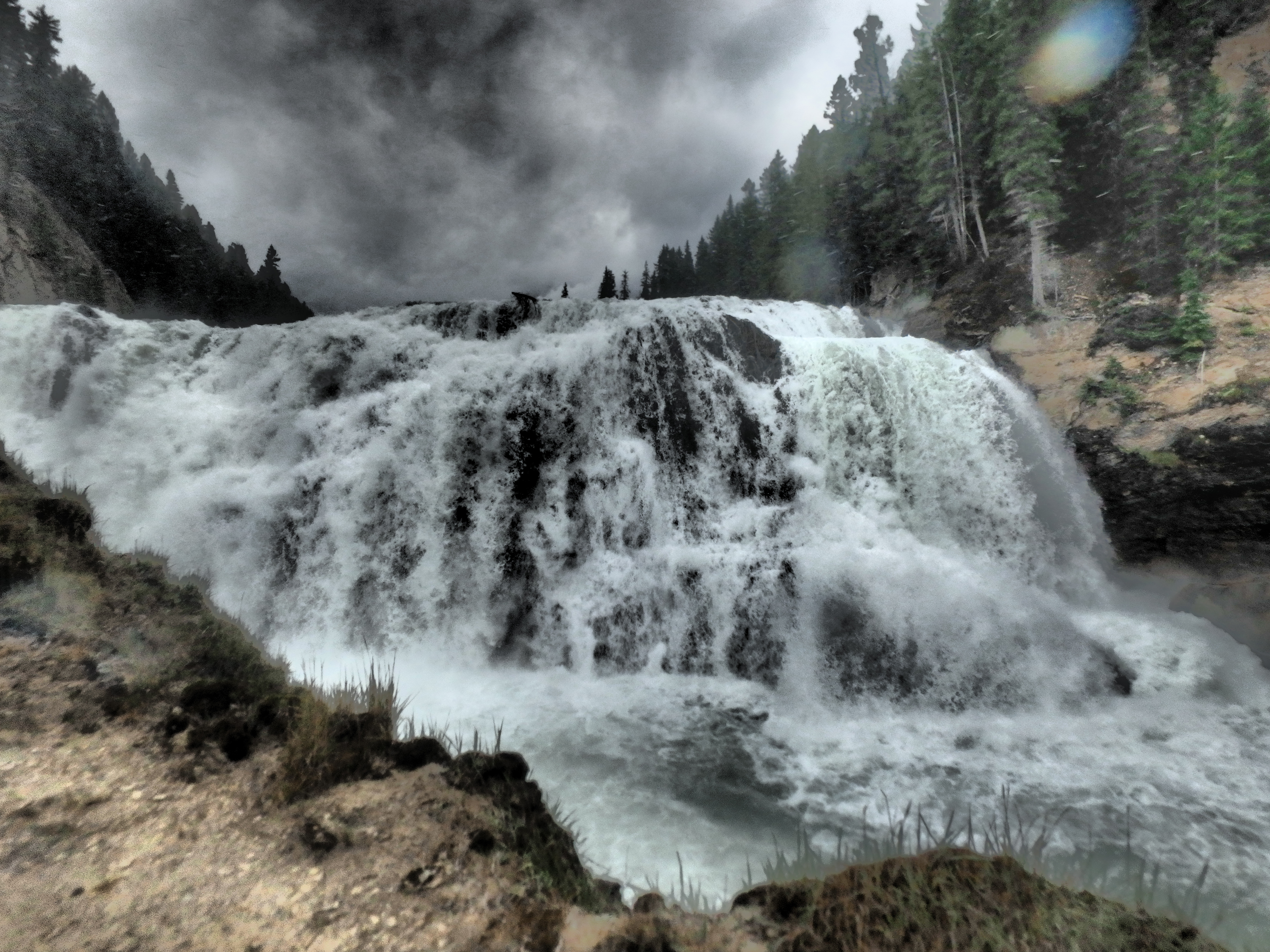
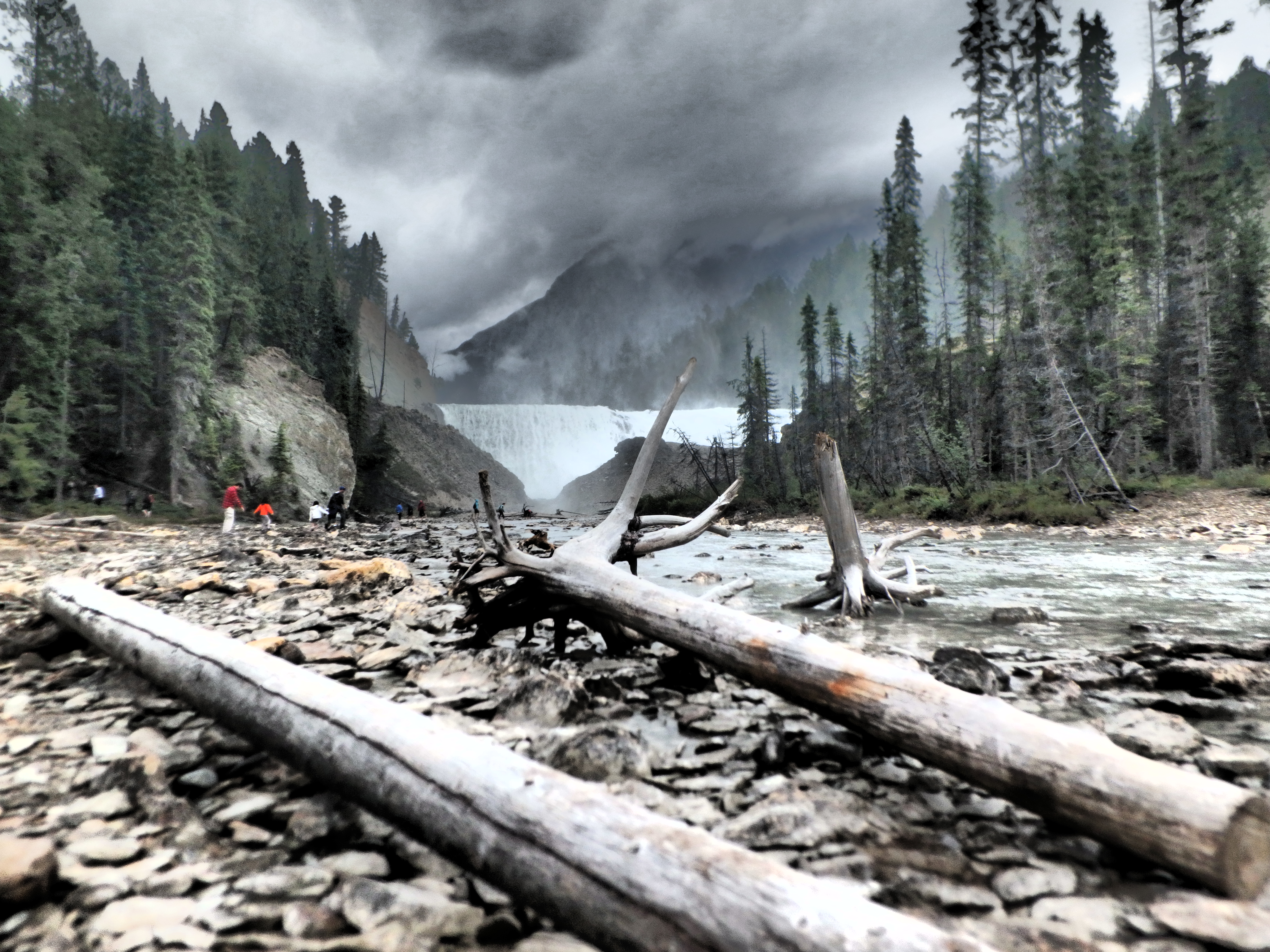
Grand Canyon of the Yellowstone
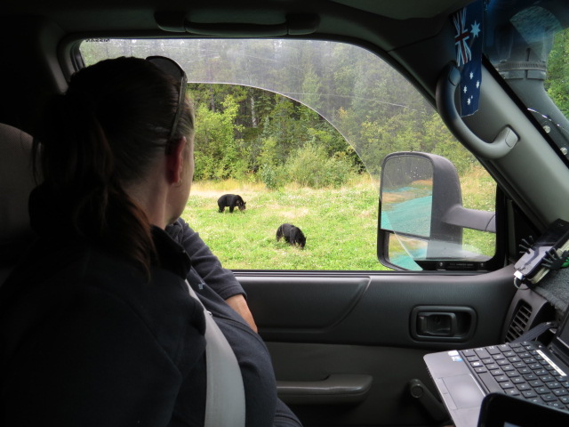
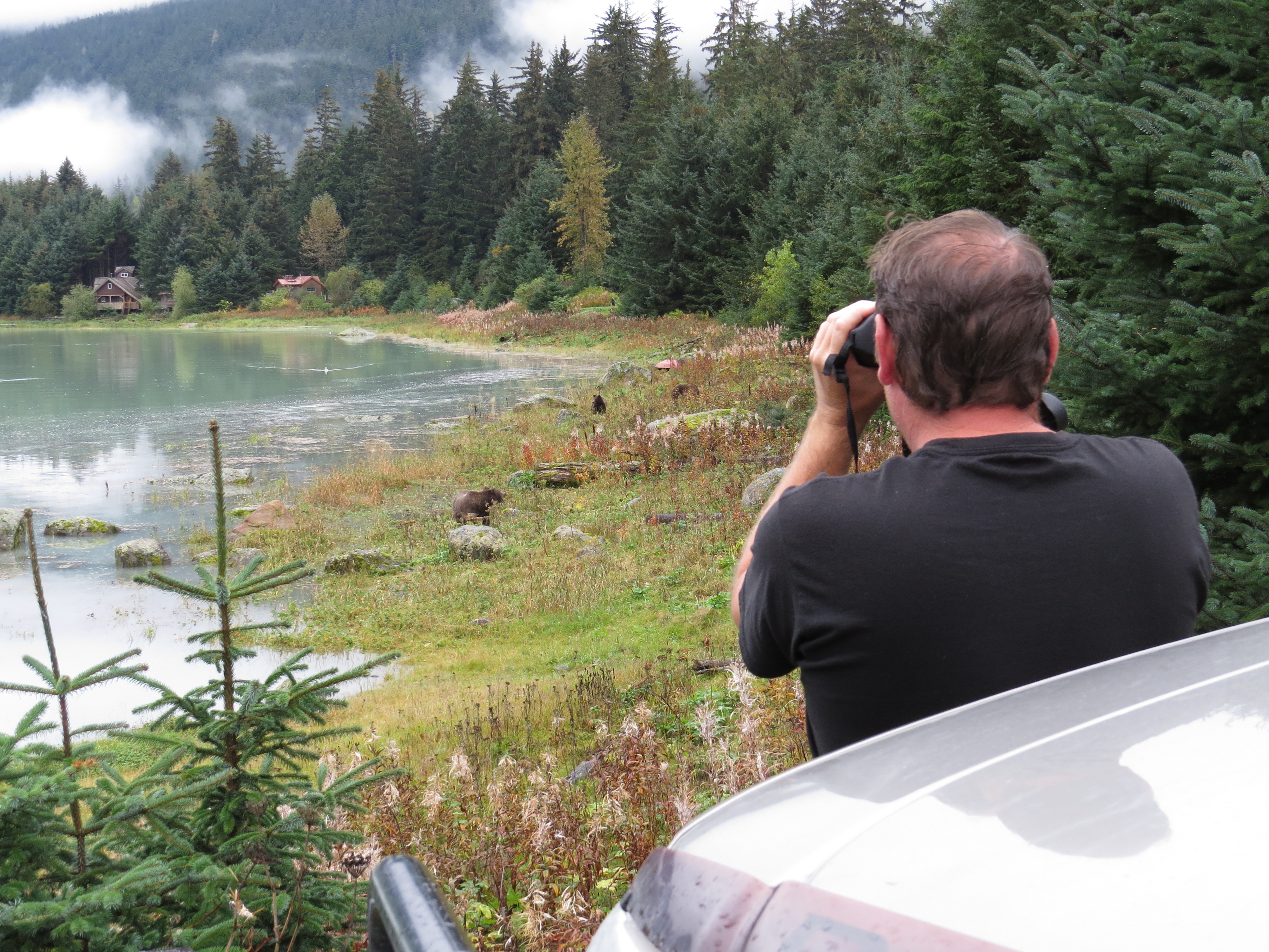
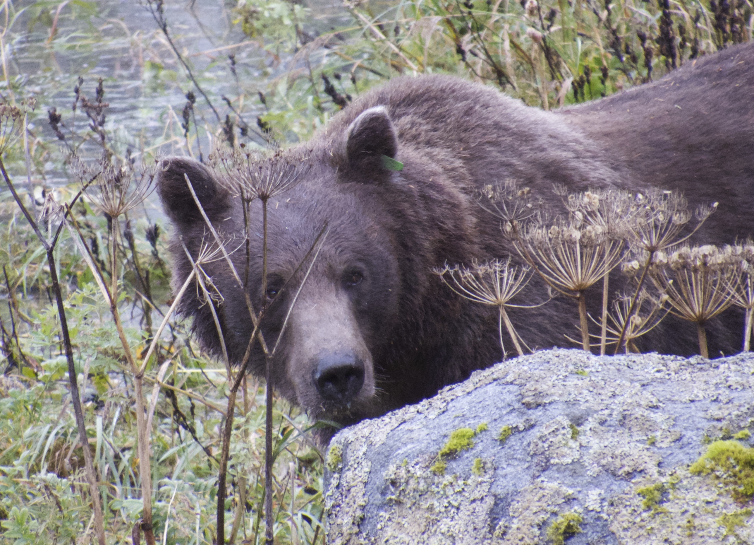
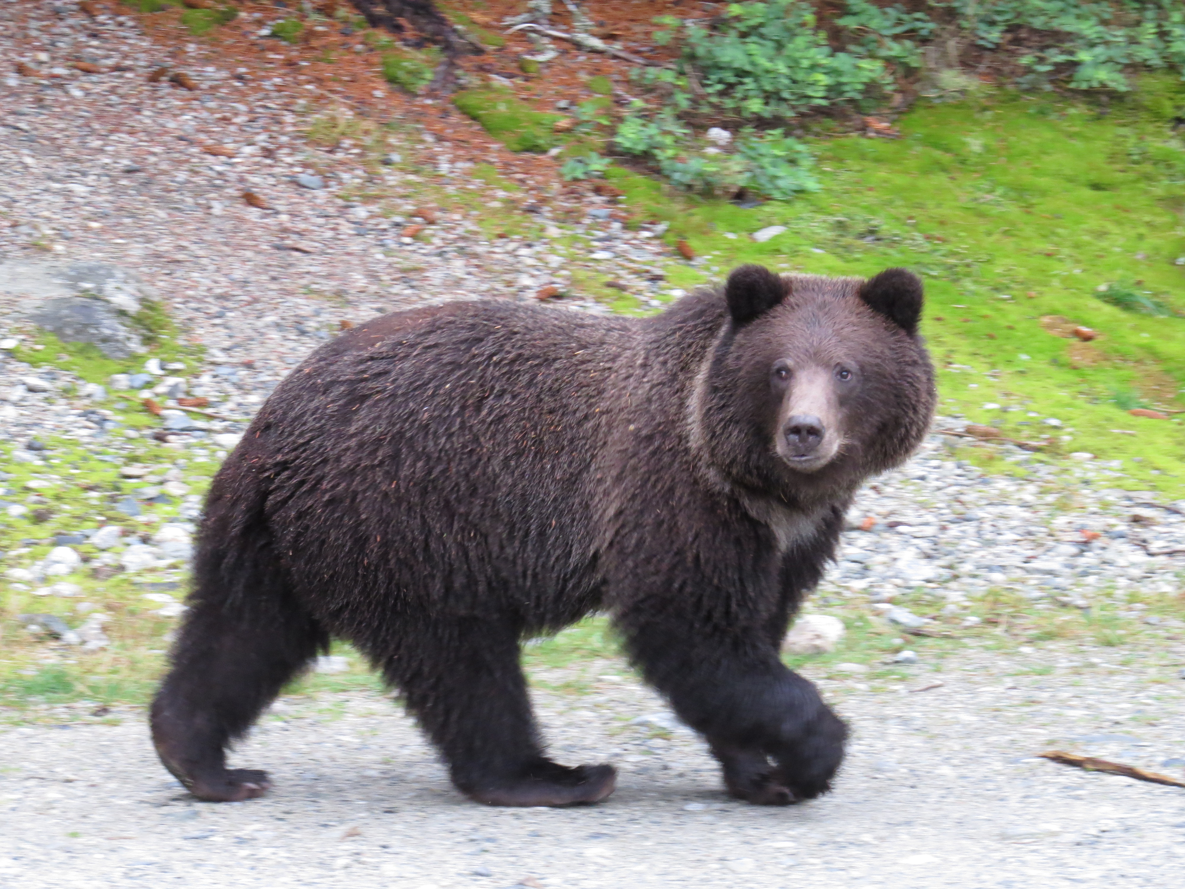
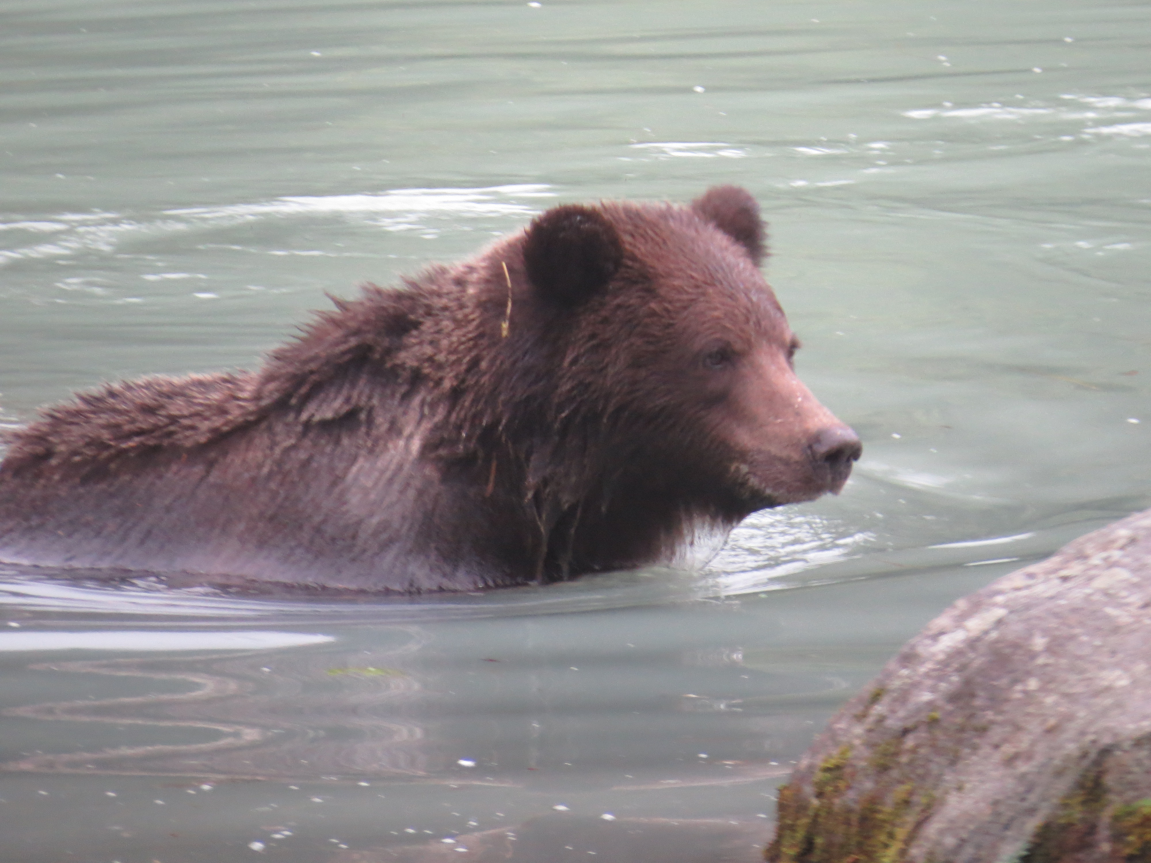
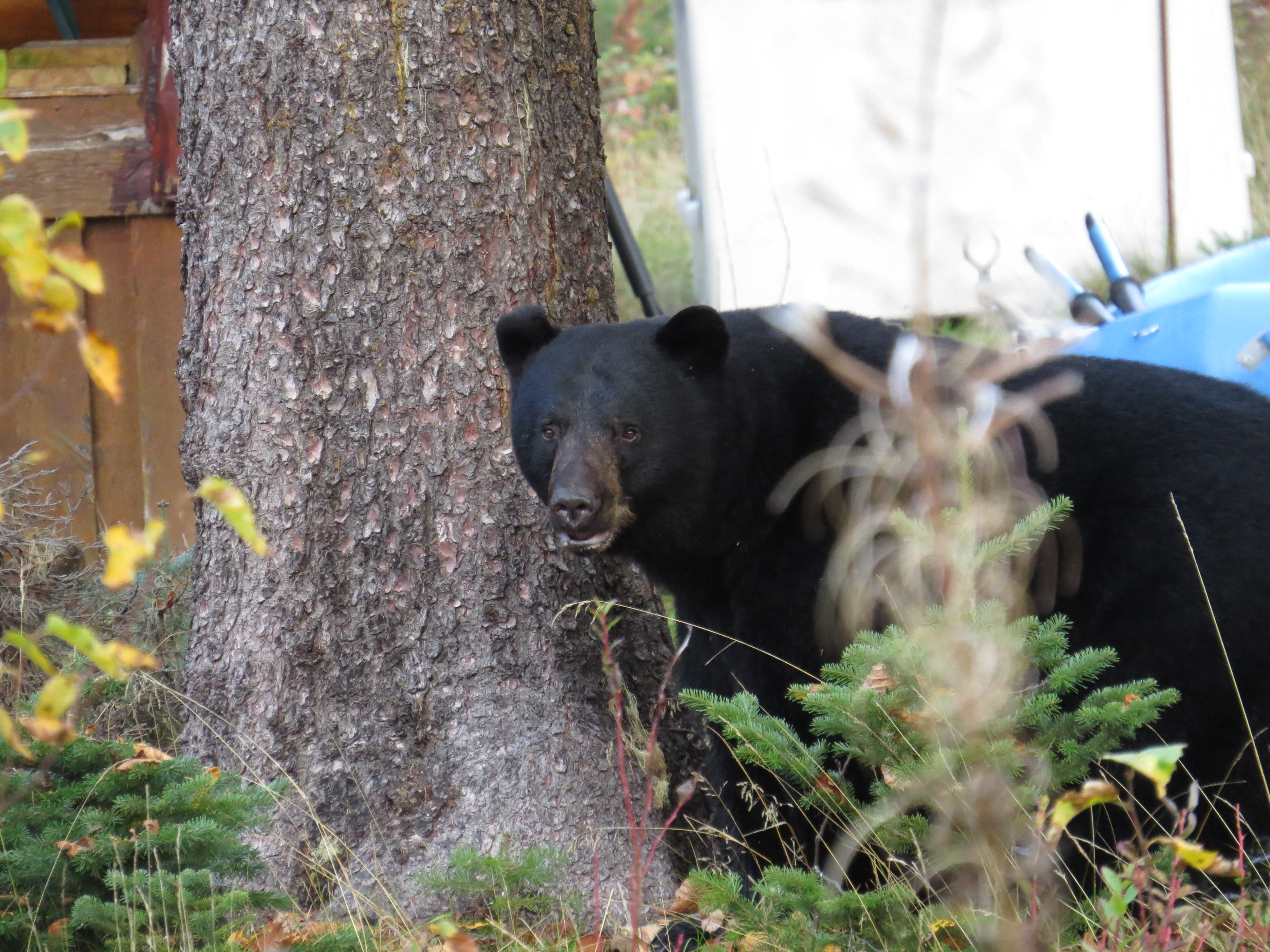
Jen managed a marvellous bit of spotting on our second day – a large Black Bear about 30m off the road! Hazard lights on we pulled to a halt much to the confusion and ire of the cars behind, as was obvious by their overtaking maneuvers and rapid re-acceleration! So for a few minutes we had this remarkable creature to ourselves before a slowing passer by realised that we were in a National Park and that we had spotted a bear!! We ended up with about a 5km (no exaggeration) queue of cars slowing, stopping and jostling for camera positions! 2 Bears at the one location in the end… Awesome!
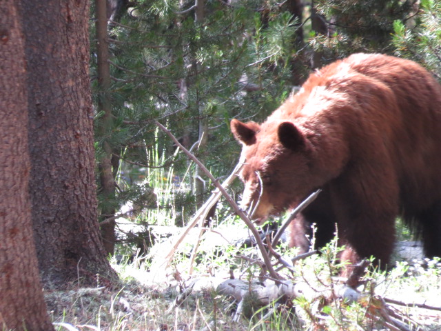
Black Bear but brown in colour
At a guess, there is about 1000 campsites within Yellowstone and all were full every day we were there! Each afternoon we’d depart the park and camp somewhere, maybe 20km, outside before returning the following day! With all of those people you are not going to have it to yourself. It was truly diabolical and although I enjoyed our visit immensely, by day 3, I was chewing the steering wheel and couldn’t wait to leave it behind!

Old Faithful – Yellowstone NP
Only a few tourists waiting for Old Faithful…
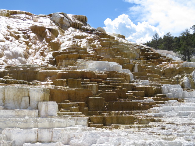
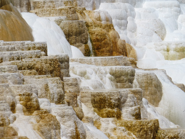
Mammoth Hot Springs – Yellowstone NP
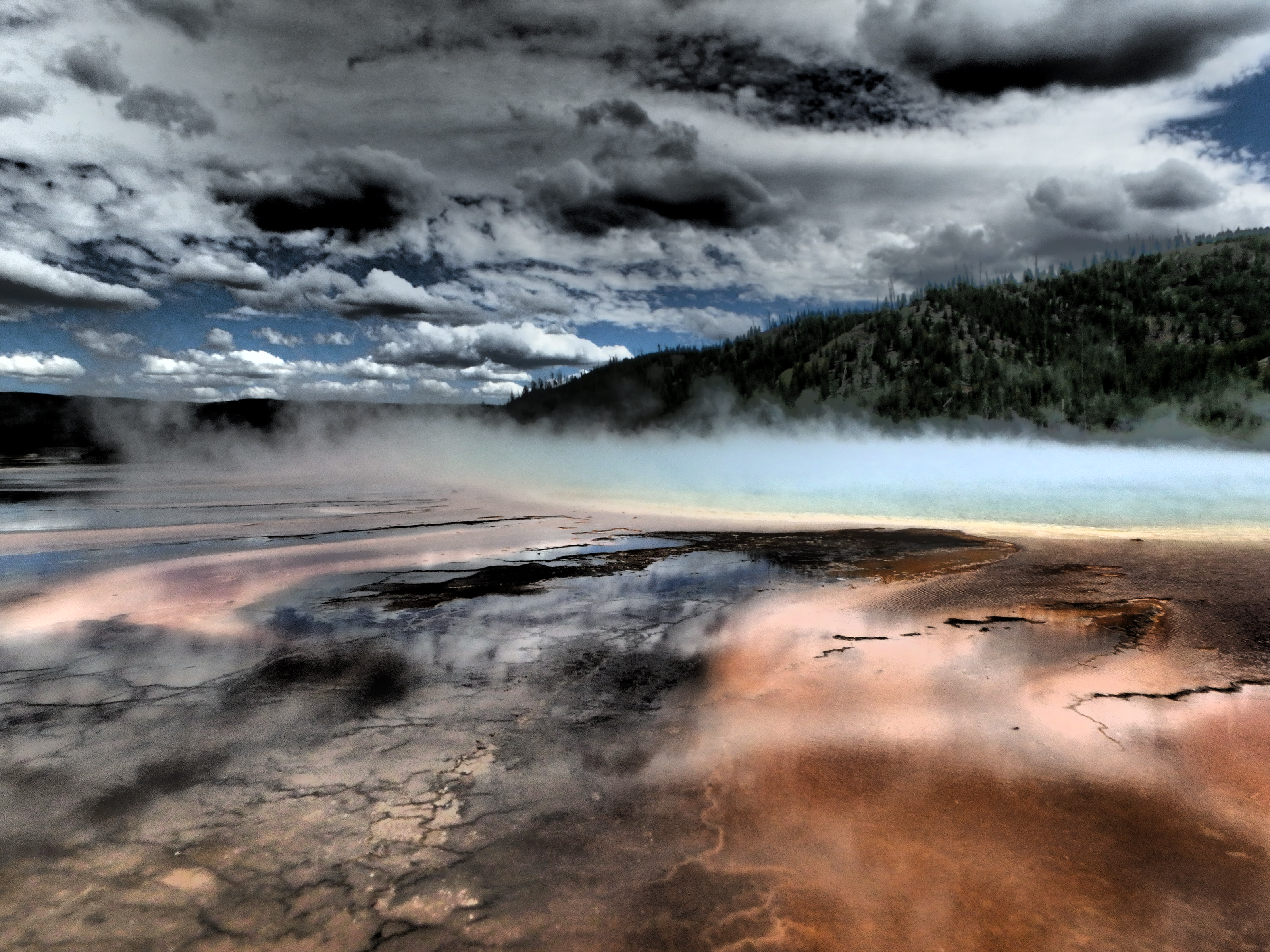
Grand Prismatic Spring – Yellowstone NP
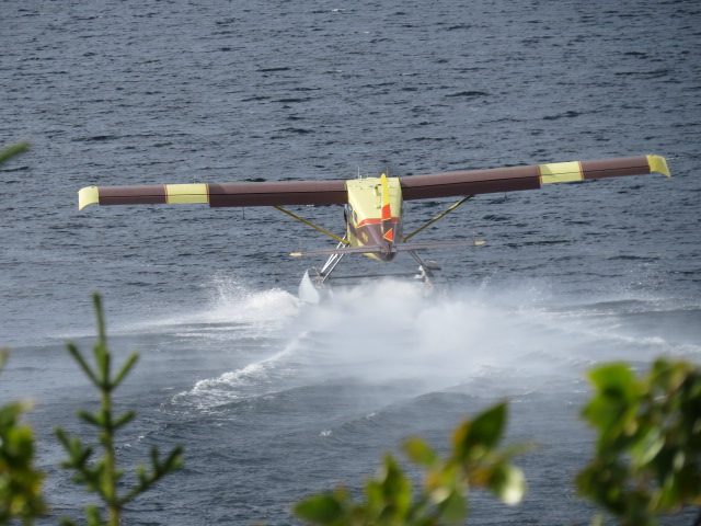
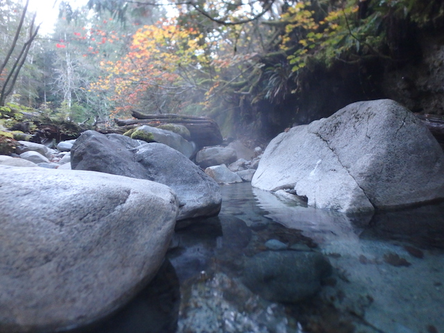
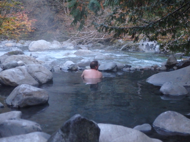
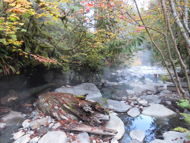
One of our excursions from the park, in the hunt for a campsite, produced a great little spot with a few others along the shores of a lake with a consistent stream of fisherman coming and going.
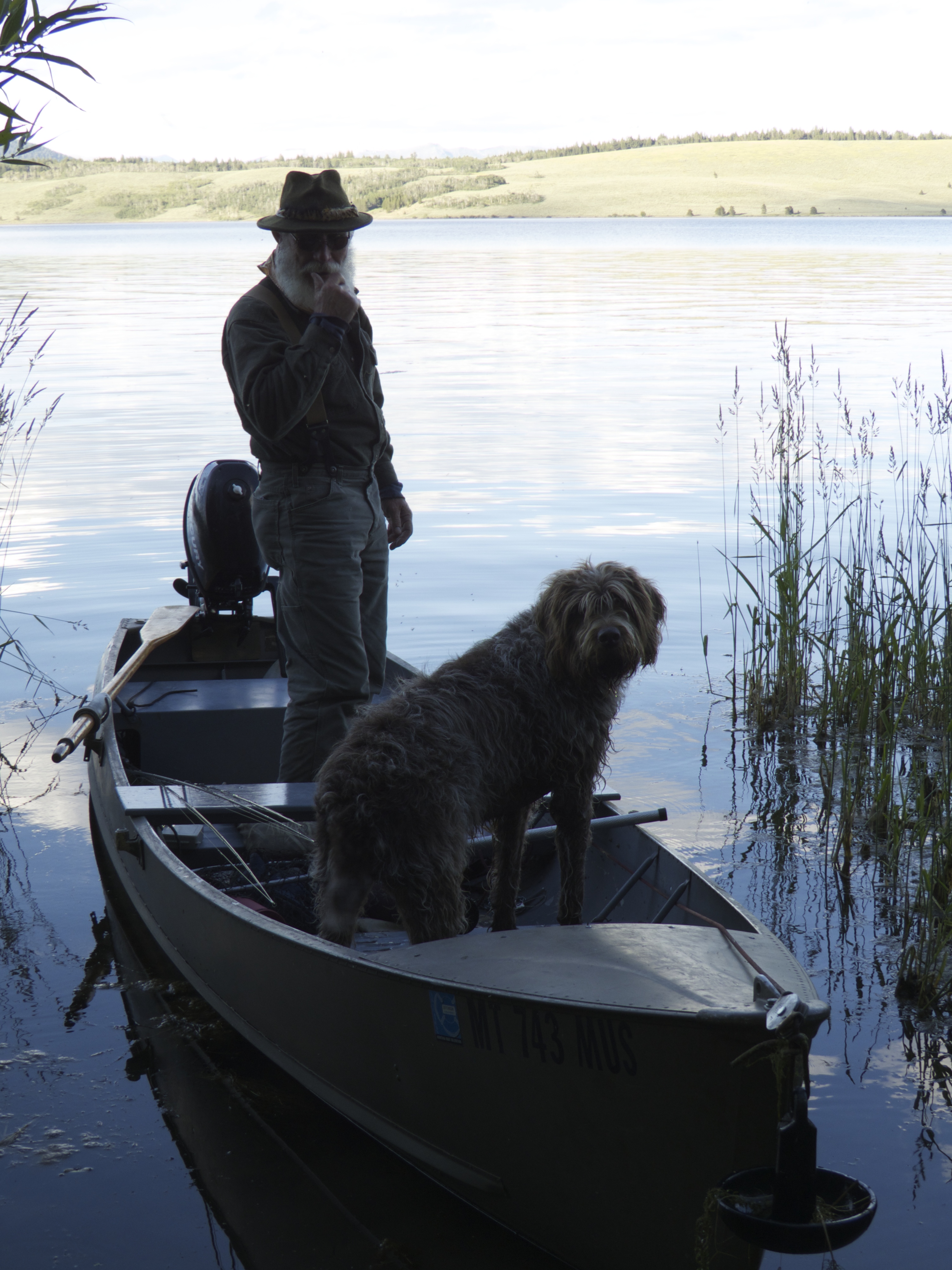
Local Fisherman Bill and his dog Walter
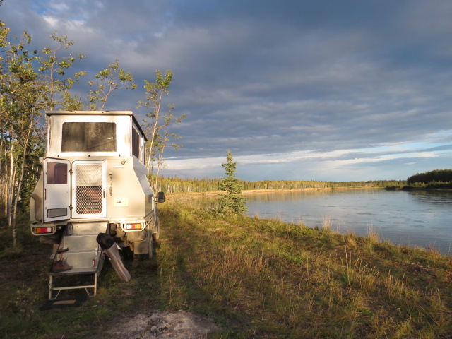
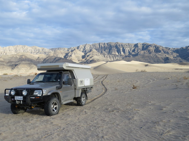
This is where we camped!
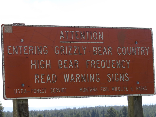
It was here that Jen got talking to a Forestry Service Officer; he explained that he was checking fishing licenses as people were returning from their outings! A licence costs about $20 a day (or there is a cheaper annual licence.)
If you don’t have one however, the fine is US$230! Two punters learnt that lesson upon the conclusion of their fishing outing – ouch! They were laughing on the outside but I guess they were crying on the inside.
Get a licence!!!
Onward through Montana and the lovely town of Bozeman! Big Bang fans might remember that episode…
Just north of Bozeman we camped on the Missouri river for a couple of nights!
With glorious blue skies and warm sun, the locals were out to play and lobbed anything that floated into the fast flowing river a few miles upstream from our location. Loaded up with refreshments and snacks, they’d spend the next few hours floating down to our site before falling overboard and staggering ashore to be picked up by waiting friends! It was an hilarious and inviting spectacle!
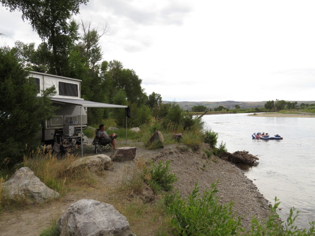
Our Missouri River Camp
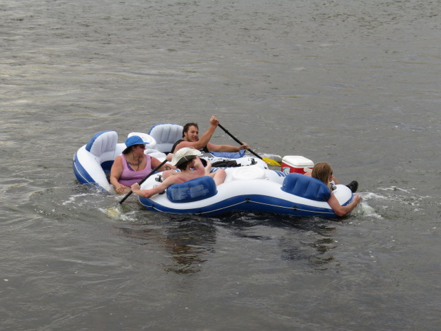
Locals enjoying the great outdoors
The second morning was the most interesting however. Nothing like the sound of a semi-automatic 22 caliber rifle being unloaded across the river (and just over his swimming dogs head) 20 metres away whilst Bon Jovi pounds out of the car stereo at 9am, oh and not forgetting a few Budweiser’s just to help the guy relax!, hey it was Sunday!
Later visitors were discussing time spent in jail! One wearing a correctional facility ankle bracelet whilst his counterpart had his very nice camouflaged hand gun in it’s holster… just in case a trout leapt from the river and attacked I guess! Really it’s just bloody hilarious; I can’t get enough of it…
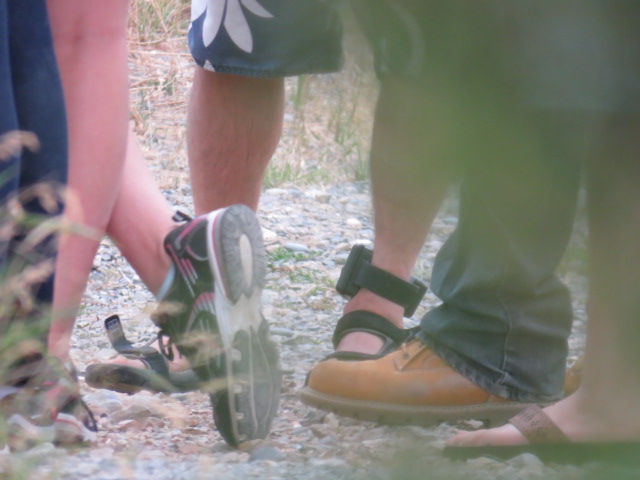
Tags on legs
Guns on hips
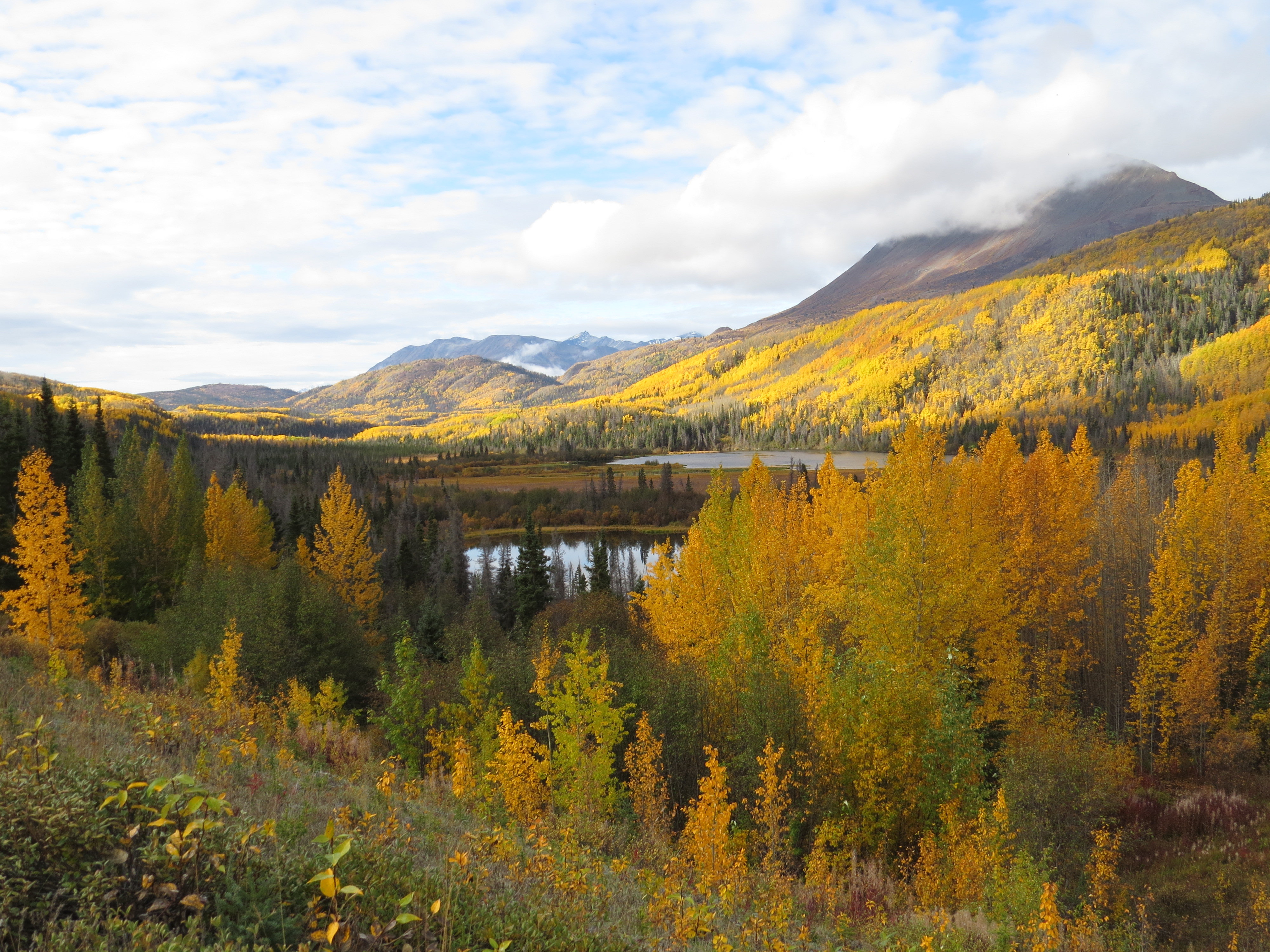
Great scenery abounded throughout Montana as we continued the route north!
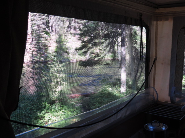
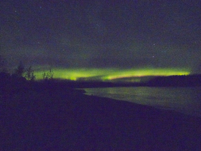
Awesome view from the kitchen window – Swan River Campsite
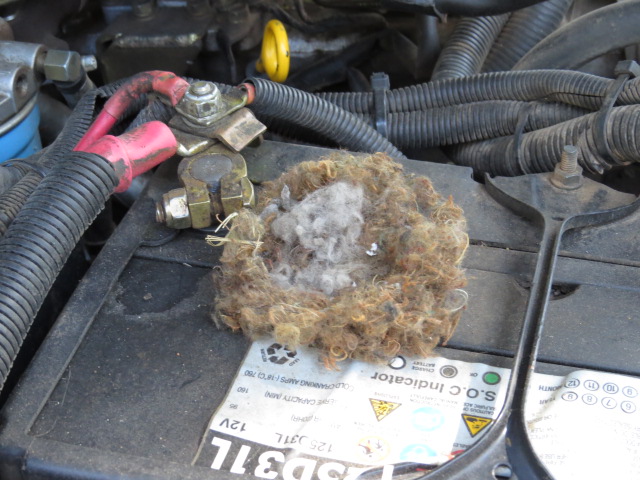
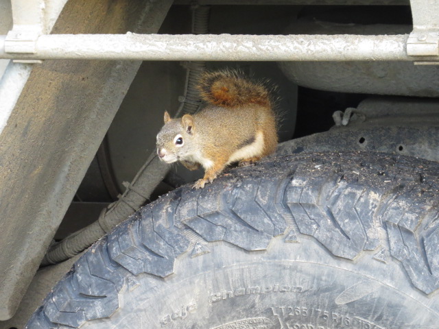
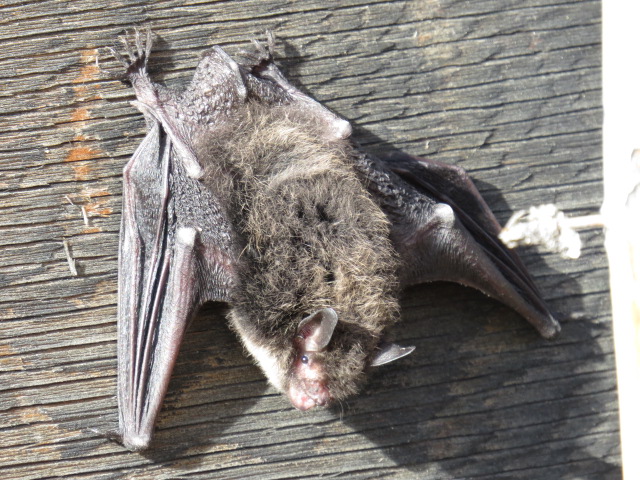
Mouse nesting under the bonnet
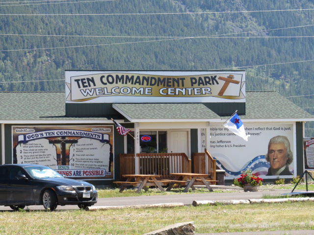
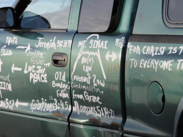
God Botherer’s Unite here
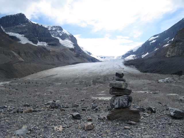
Glacier National Park was our last destination of note before crossing into Canada and a scenic drive known as “The Going to the Sun Road” was absolutely stunning.
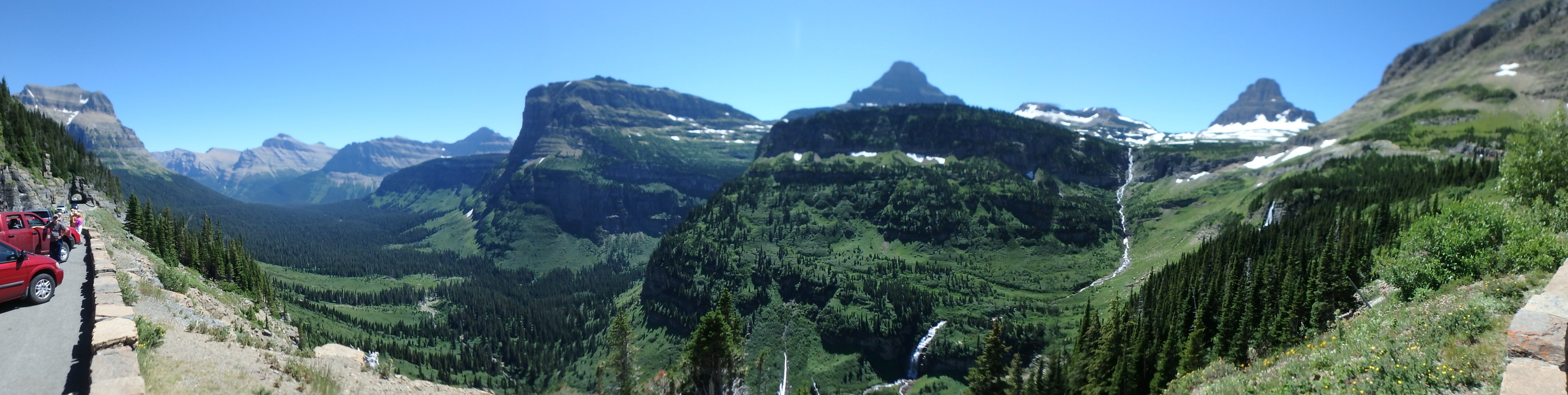
Panorama of “Going to The Sun Road” Glacier NP
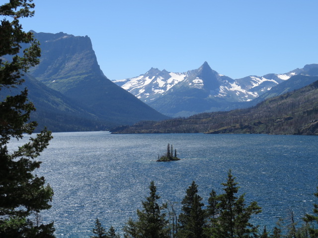
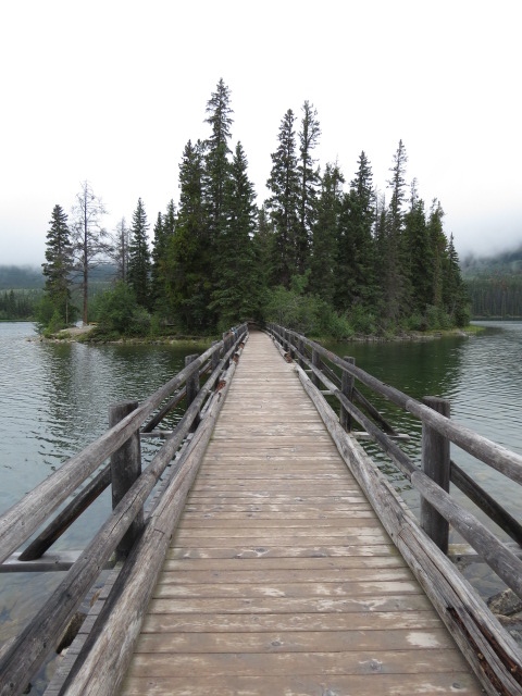
Wild Goose Island
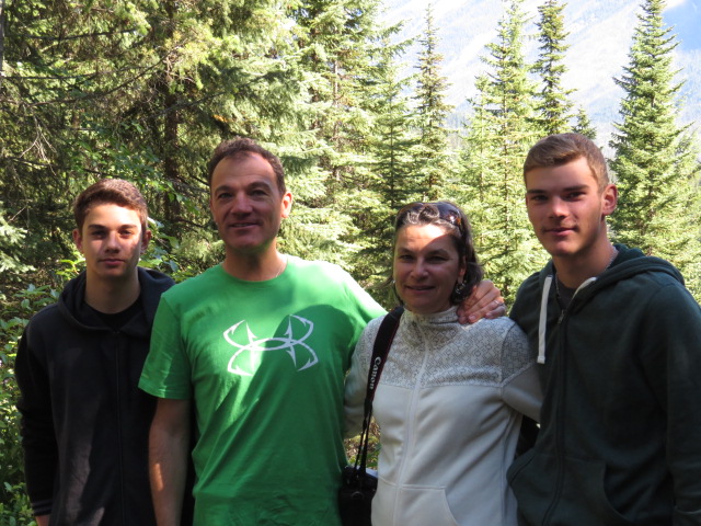
Justin liked the scenery….

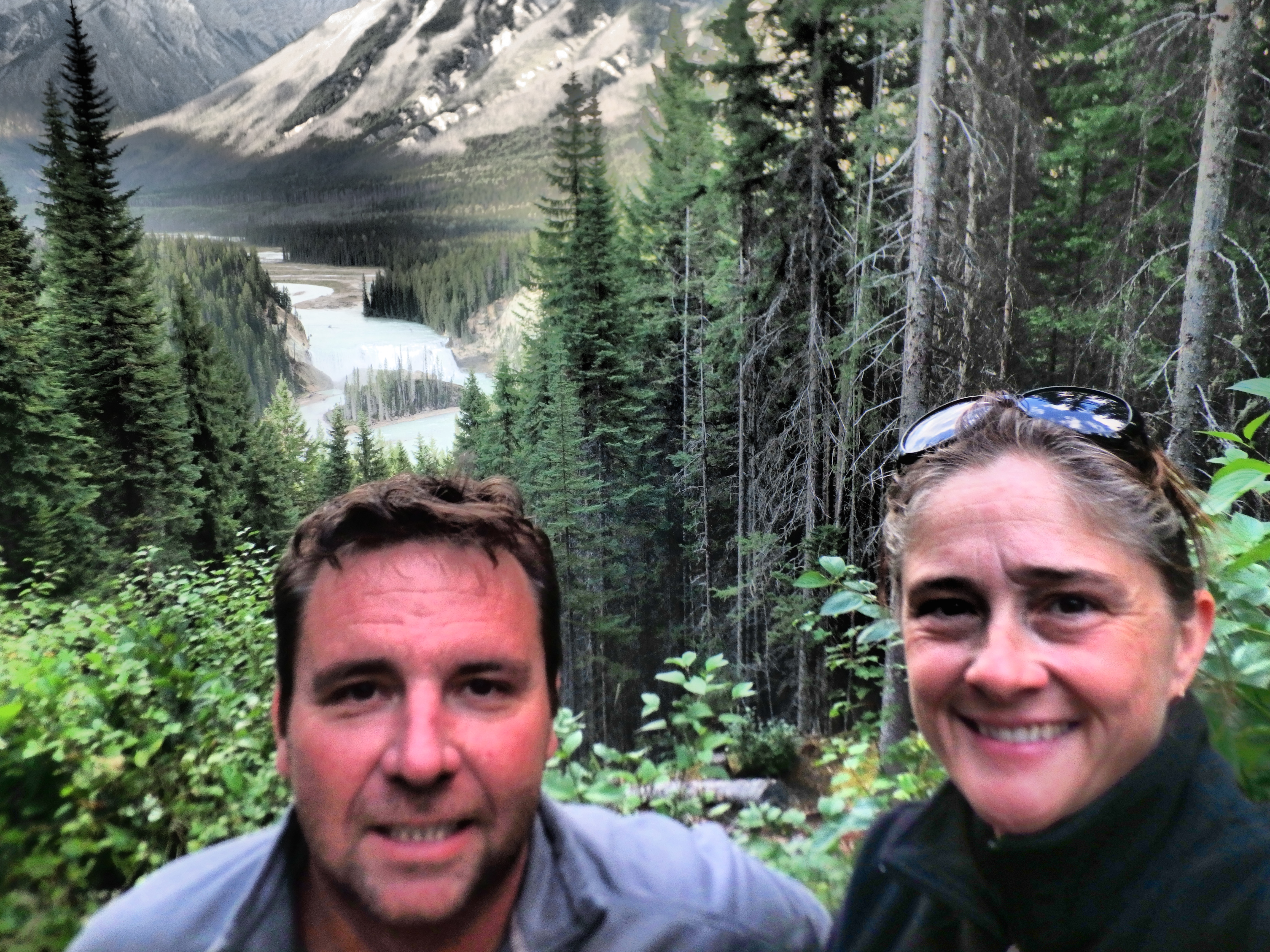
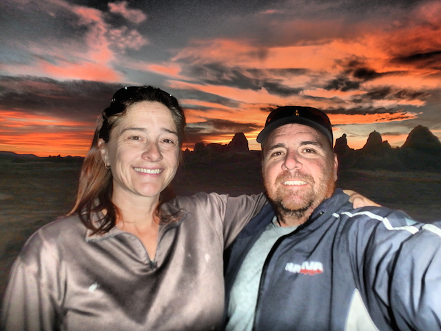
Selfie at Glacier NP

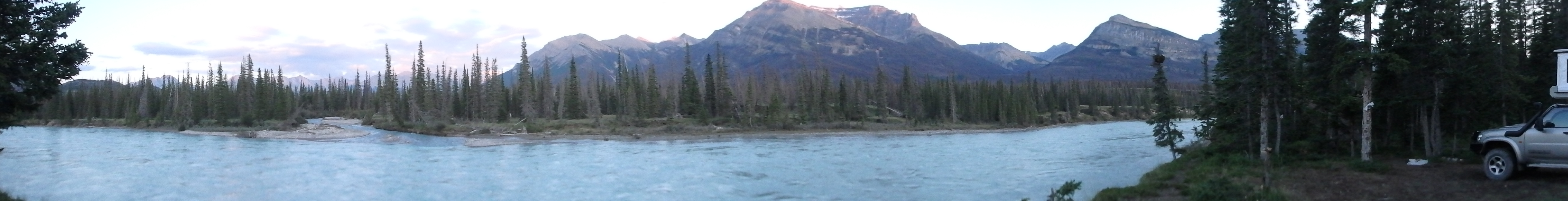
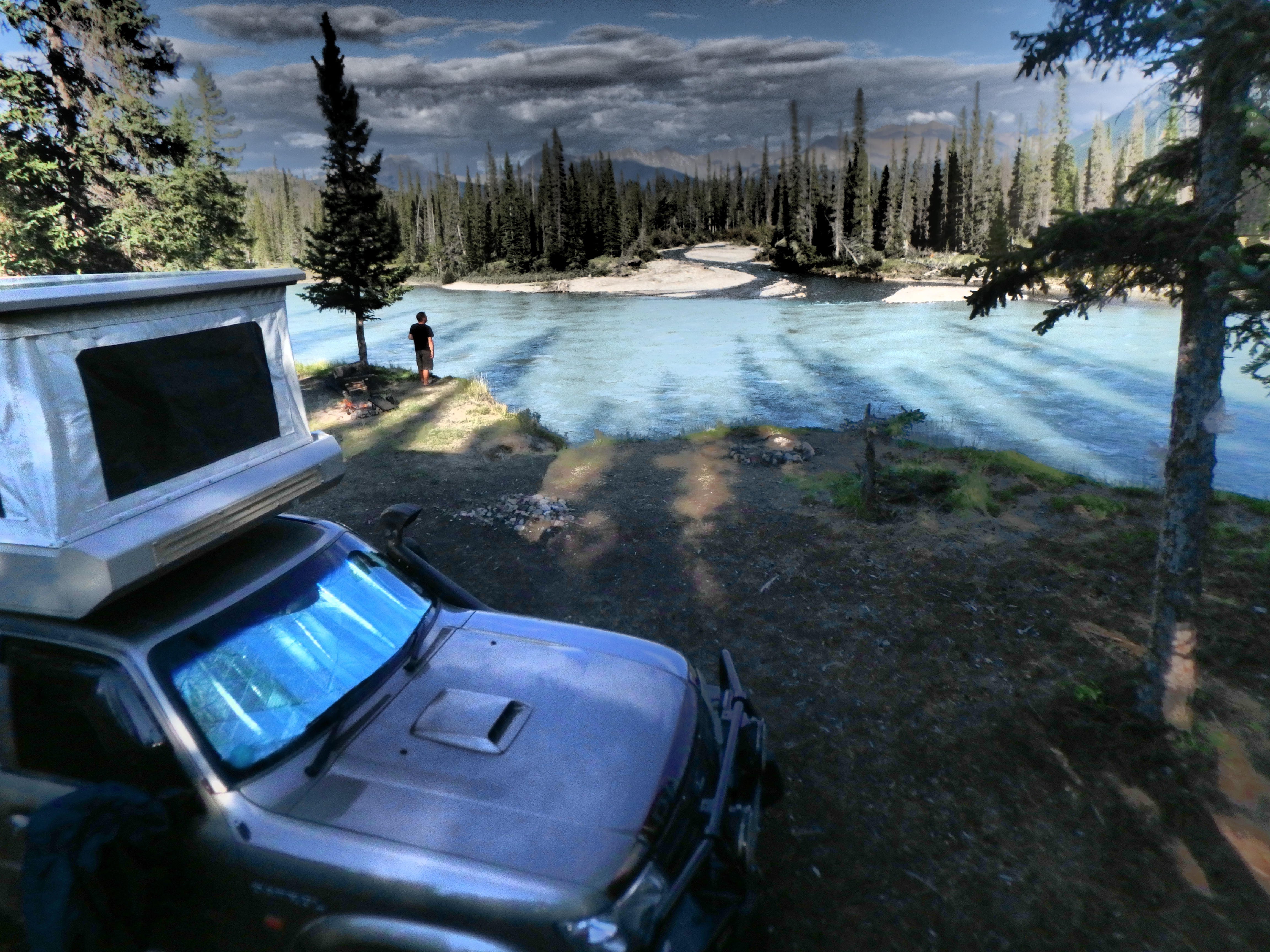
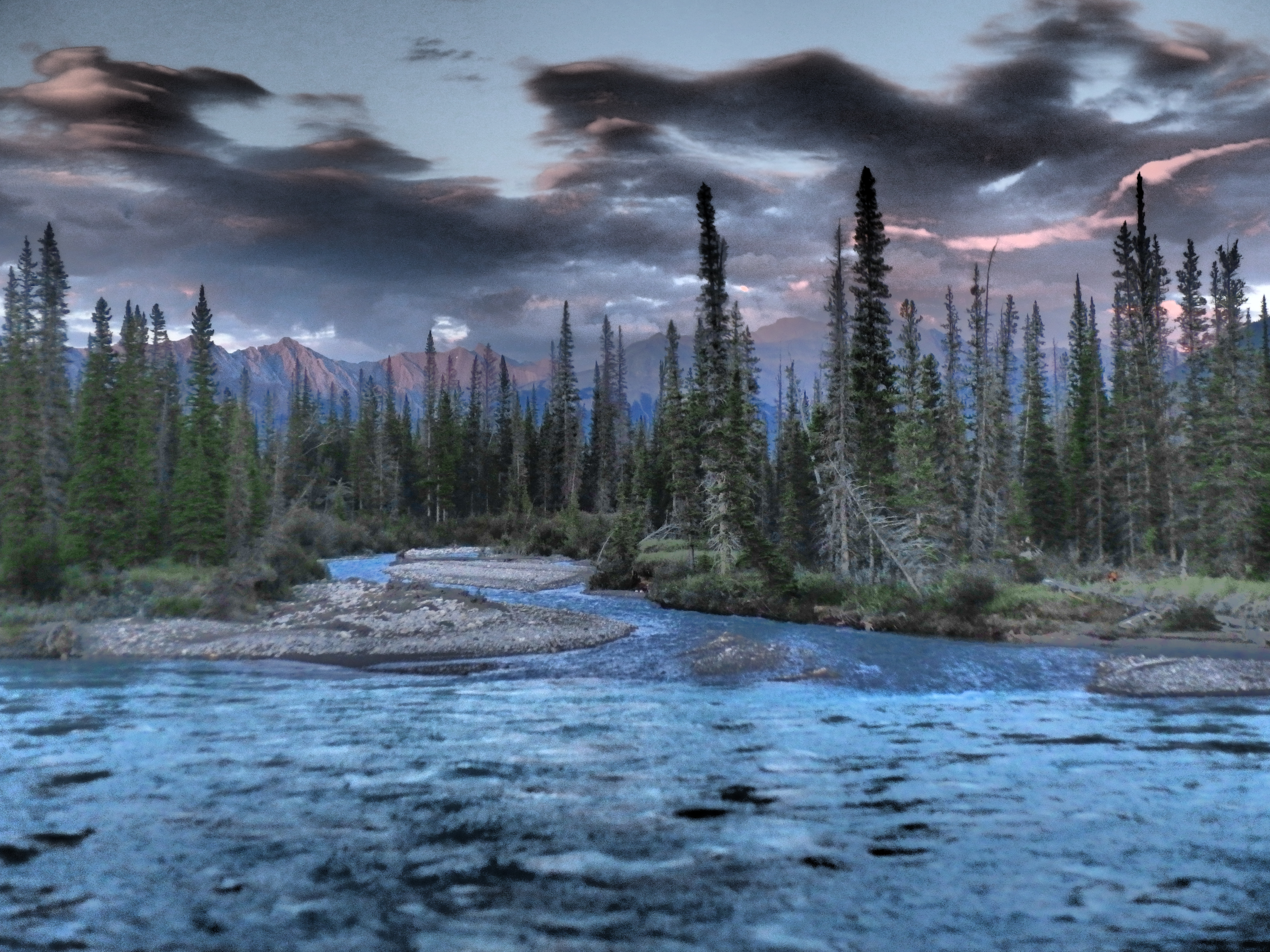
St Mary’s Lake Campsite View
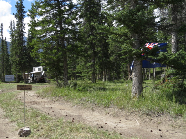
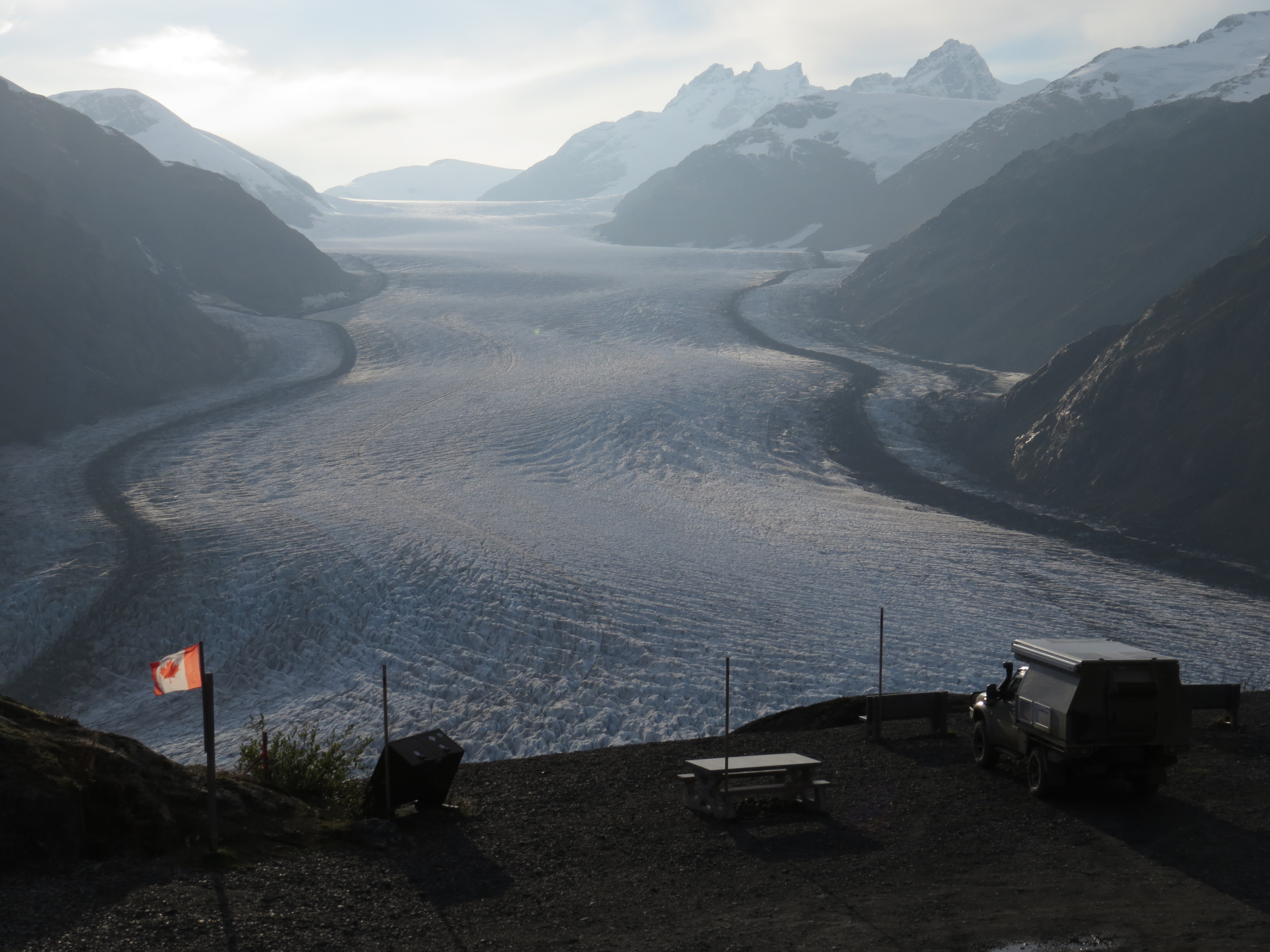
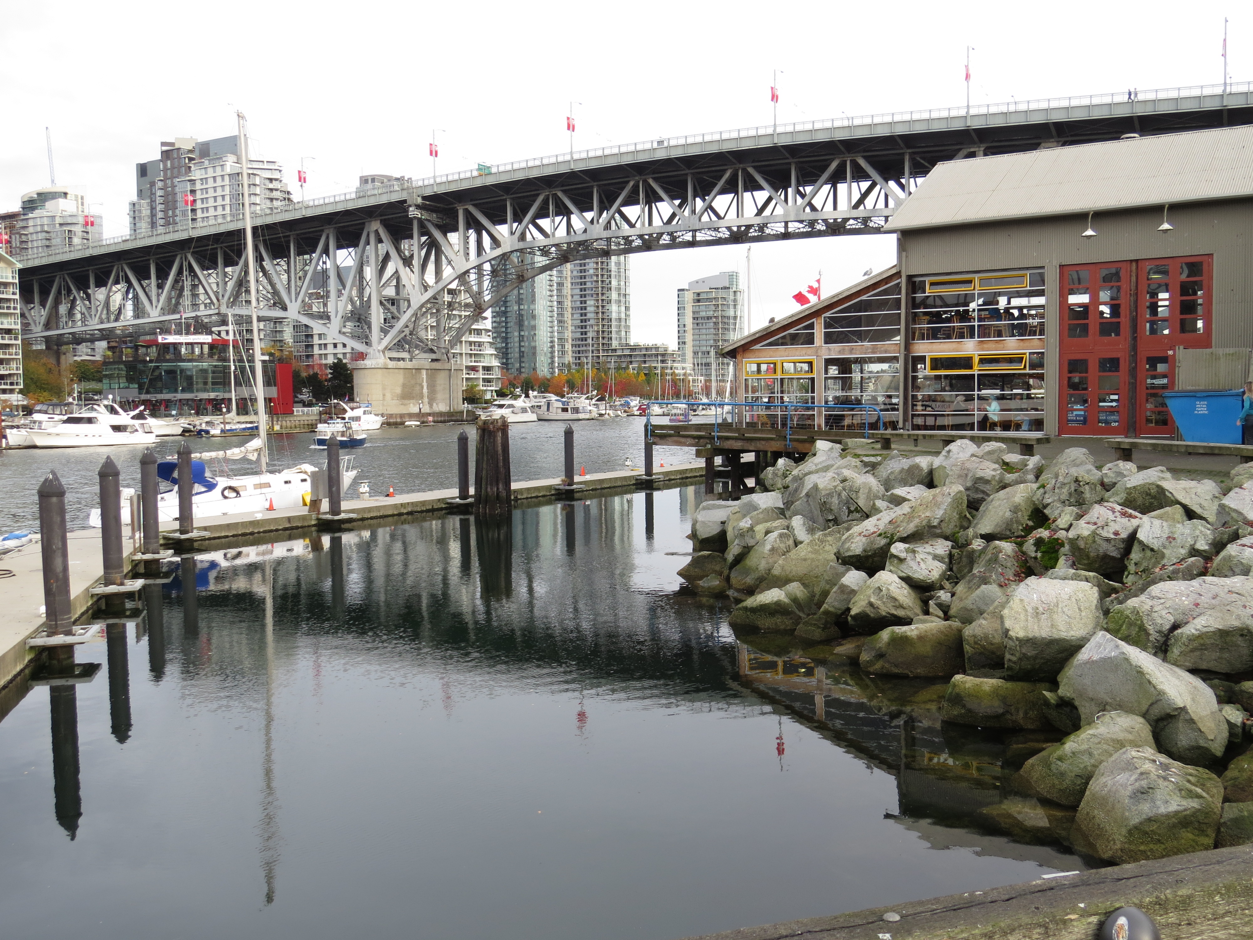
The Maple Leaf flag greeted us as we arrived at the Canadian Border! Speed signs in Km/h and litres again – Oh Joy!!! Canada here we come…
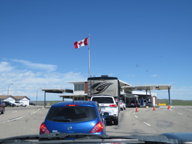
Canada!!
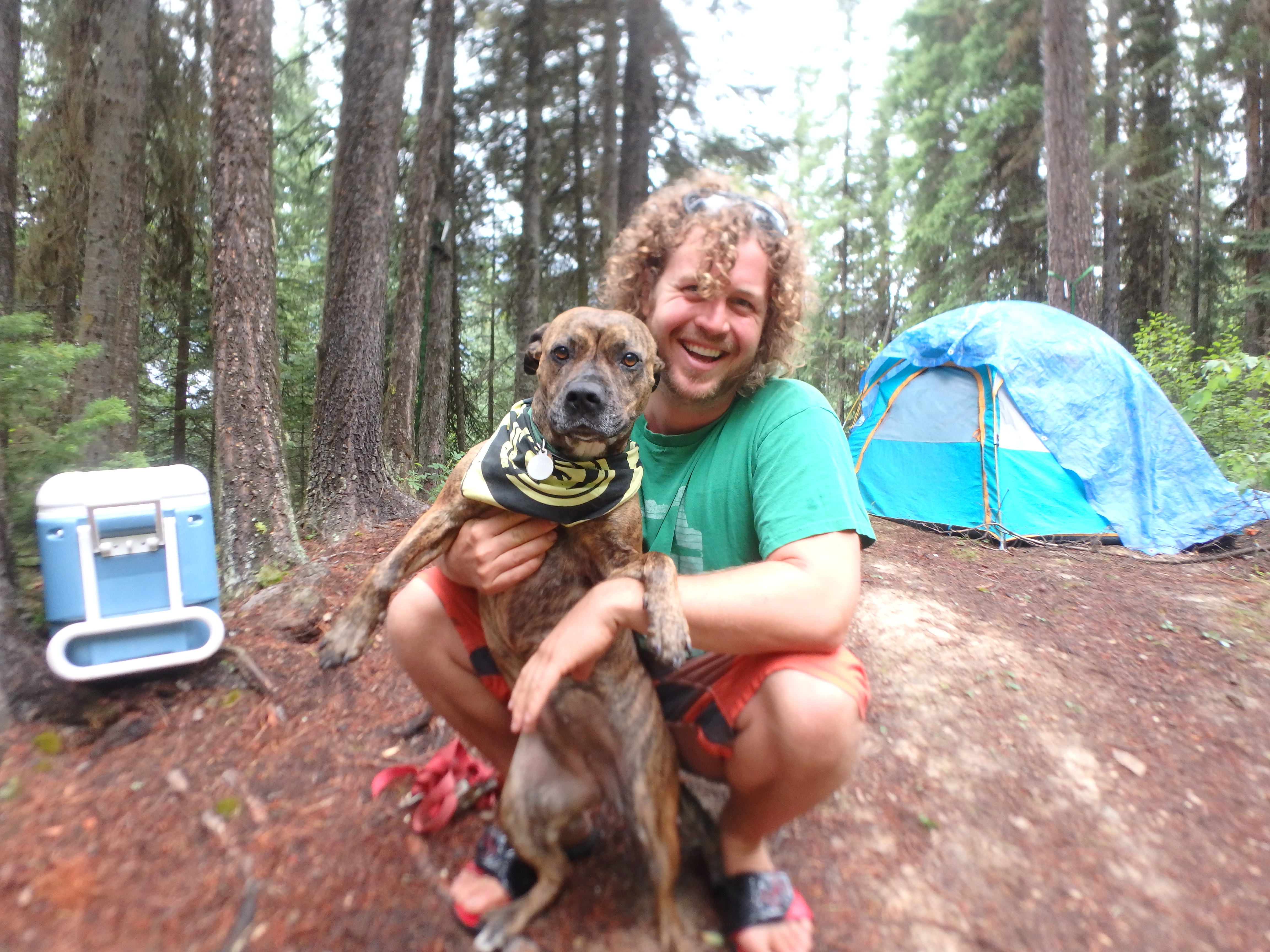
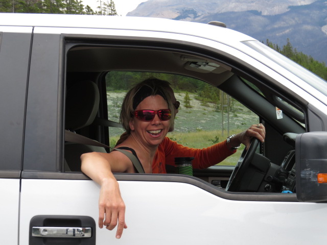
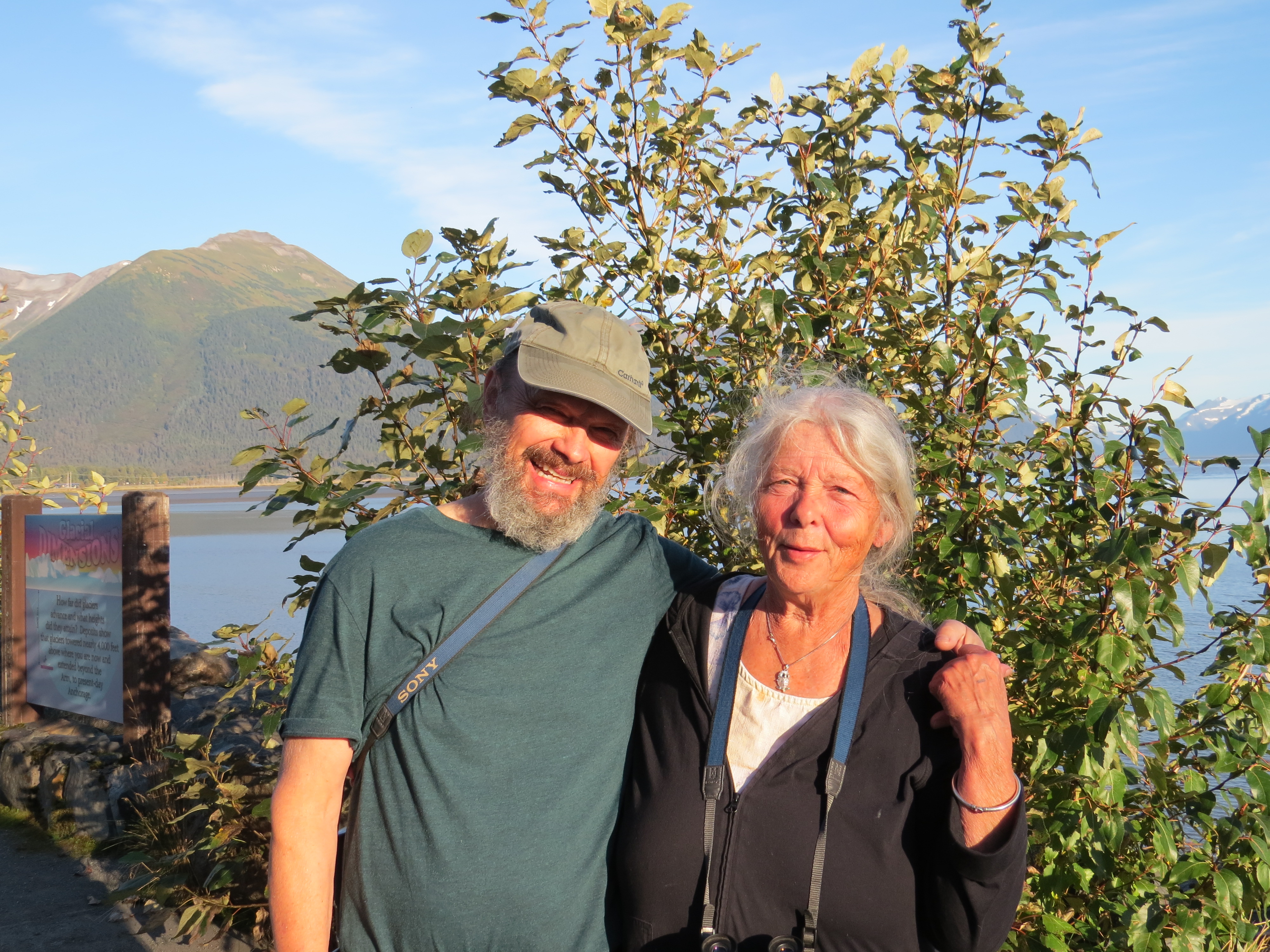
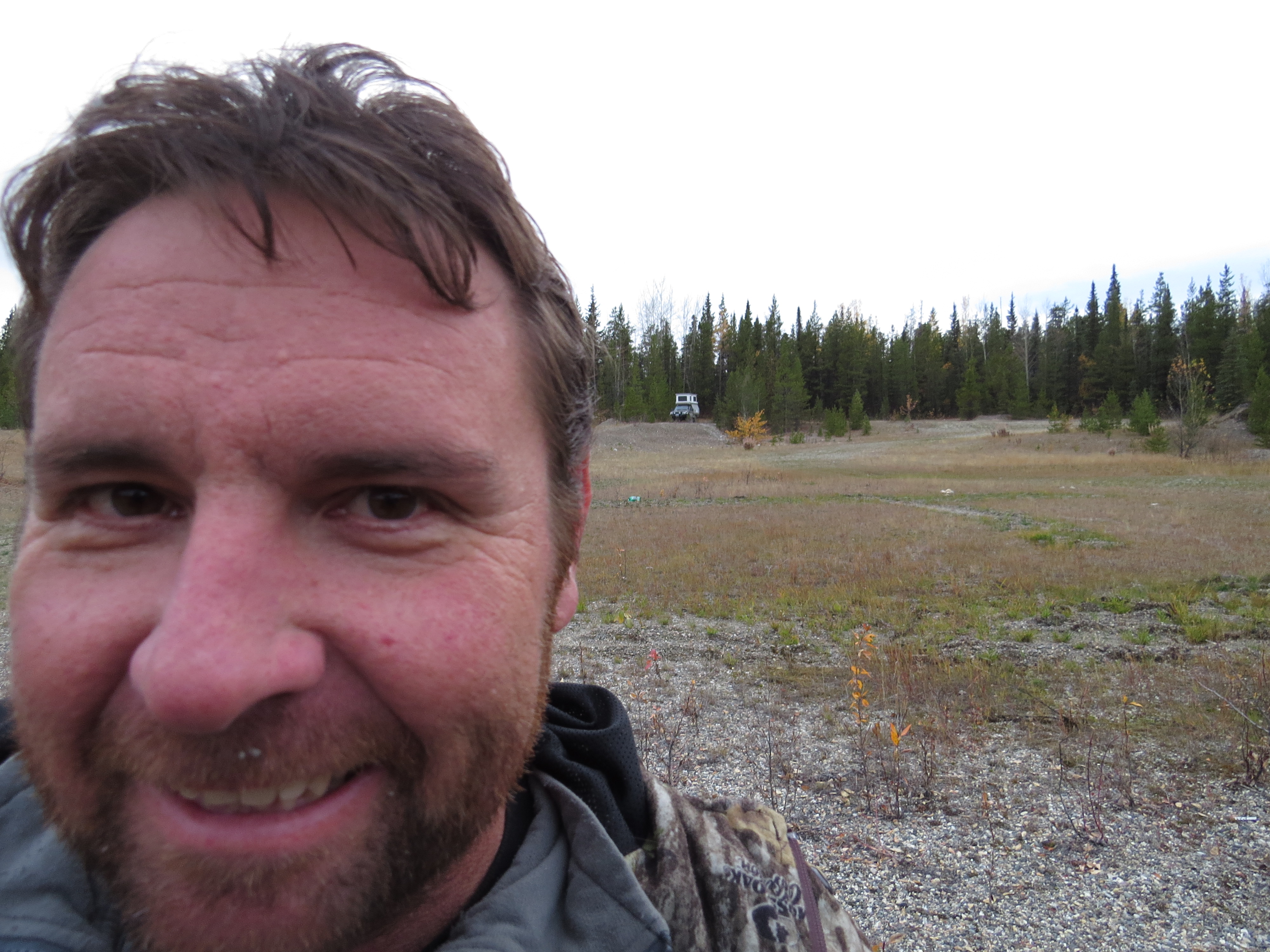
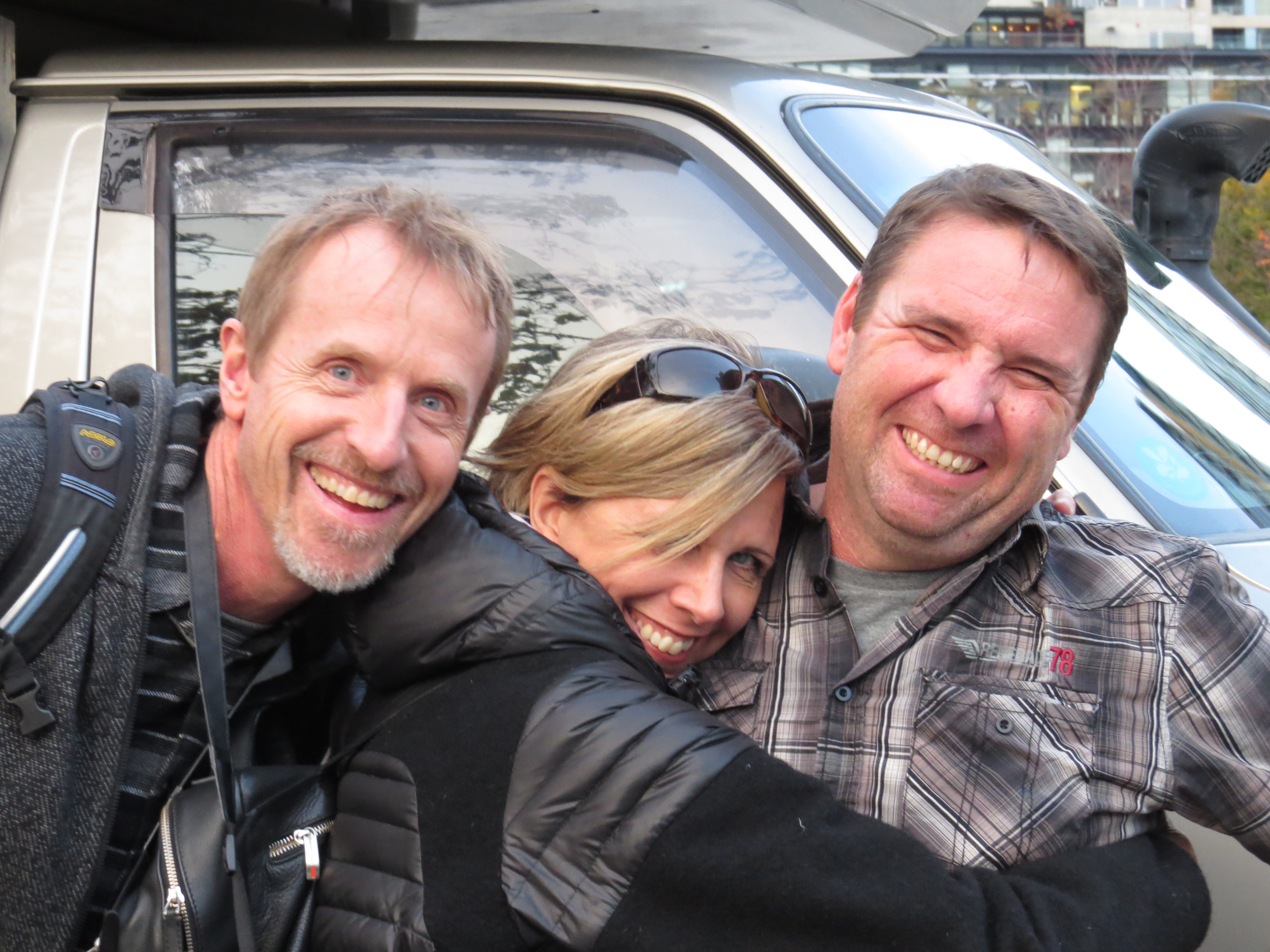
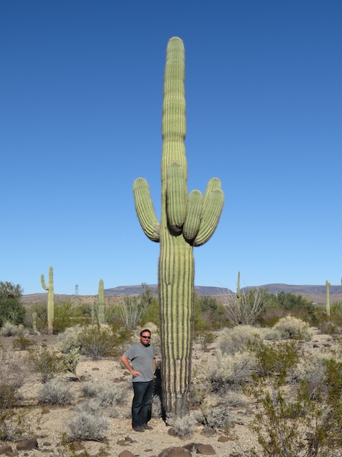
Justin.